Jalan Daan Mogot Corridor, Tangerang City/West Jakarta Border
Jalan Daan Mogot is a prominent avenue stretching 27.5 kilometers, serving as a vital trunk road connecting Grogol in West Jakarta to Sukarasa in Tangerang. It is designated as part of Indonesian National Route 1. The corridor is characterized by a mix of industrial, trade, and settlement areas, with a growing emphasis on food and beverage (F&B) and lifestyle establishments, particularly in areas bordering Tangerang City and West Jakarta.
Key Highlights
- Length: 27.5 kilometers (17.1 miles) from Grogol, West Jakarta to Sukarasa, Tangerang.
- National Route: Part of Indonesian National Route 1.
- Urban Villages: Crosses 14 urban villages in Tangerang and West Jakarta.
- Land Use: Predominantly industry, mixed industry and trade, with expanding settlement areas.
- Infrastructure Development: Recently widened to 4 lanes, with ongoing infrastructure projects including toll road connections and airport railway line construction.
- Public Transportation: Served by TransJakarta bus rapid transit (Corridor 3, Kalideres-Jelambar) and other bus services.
Location & Connectivity
Jalan Daan Mogot is strategically located, traversing the border of Tangerang City and West Jakarta. It connects to major roads such as the Jakarta Outer Ring Road (JORR) 1 and 2, and the Jakarta-Merak Freeway, enhancing regional accessibility. The road features twelve intersections, providing access to various local and arterial roads. Public transportation is facilitated by TransJakarta Corridor 3, with multiple BRT stations along the route, including Pesakih, Sumur Bor, Rawa Buaya, and Jelambar. Other bus services like Mayasari Bakti and Angkot also operate along Jalan Daan Mogot, further connecting the corridor to surrounding areas like Kalideres, Cileungsi, Serpong, and Kotabumi. The Tangerang railway line runs parallel to a section of Jalan Daan Mogot. While efforts are being made to improve traffic flow, such as planned one-way systems, the corridor can experience congestion due to high traffic volume.
Relevance
The Jalan Daan Mogot Corridor plays a crucial role in the urban fabric of both Tangerang City and West Jakarta by serving as a primary transportation artery and a hub for commercial and residential activities. Its strategic position facilitates the movement of goods and people between Jakarta and Tangerang, influencing settlement patterns and economic development. The presence of mixed land use, including industrial, trade, and residential zones, contributes to its dynamic character. The ongoing infrastructure improvements, such as road widening and transit-oriented development initiatives, aim to enhance connectivity and accommodate the growing population mobility, further shaping the surrounding urban landscape.
Nearby
Notable nearby areas and developments include the Soekarno-Hatta (Cengkareng) International Airport to the north of the corridor, and the Daan Mogot City mixed-use development, which incorporates residential towers, commercial areas, and educational facilities. The corridor also provides access to the Jakarta Outer Ring Road (JORR) and connects to areas like Puri Kembangan, a significant administrative center in West Jakarta, and the Cengkareng-Batu Ceper-Kunciran section of JORR 2.
Data Table
| Feature | Detail |
|---|---|
| Length | 27.5 km (17.1 miles) |
| National Route | Indonesian National Route 1 |
| Key Districts/Cities Traversed | Tangerang City, West Jakarta |
| Road Lanes | 4 lanes (recently widened) |
| TransJakarta Corridors | Corridor 3 (Kalideres–Jelambar), Kalideres–Pasar Baru, Lebak Bulus–Harmoni Central, Rawa Buaya–Pulo Gadung 1, Kalideres–ASMI, 3F Kalideres–Gelora Bung Karno |
| TransJakarta BRT Stations | Pesakih, Sumur Bor, Rawa Buaya, Jembatan Baru, Dispenda Samsat Baru, Jembatan Gantung, Taman Kota, Indosiar, Jelambar |
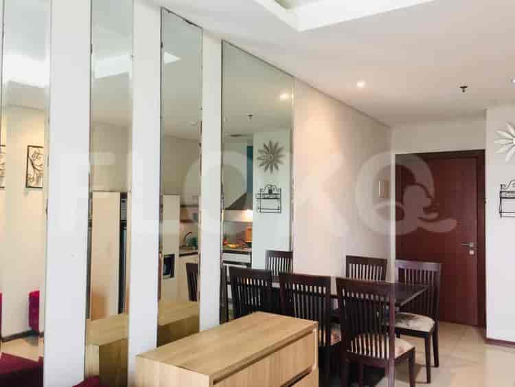
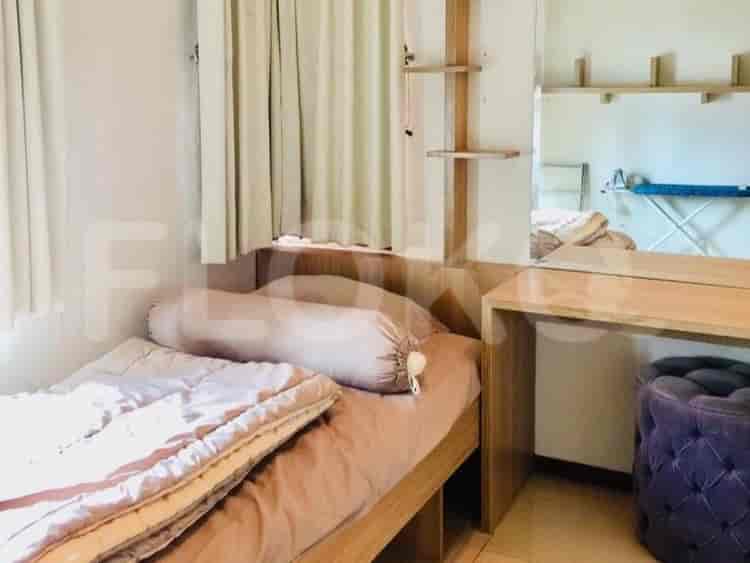
Available units near Jalan Daan Mogot Corridor




Nearby Facilities and Services - Jalan Daan Mogot Corridor
Eratama PropertindoWisma NusantaraGrand Indonesia Proximity (Eastern Edge Reference)The Plaza Office TowerPlaza PermataPlaza Permata
Menteng Executive ApartmentKempinskI Grand Indonesia ApartmentKeraton at the PlazaAscott ApartmentLe Parc 57 Promenade
Bundaran HI MRT StationDukuh Atas MRT StationSetiabudi Astra Station MRT StationBendungan Hilir MRT StationIstora Mandiri MRT StationSenayan Station MRT Station
PGRI 2 Junior High School JakartaState Junior High School 175 JakartaState Vocational High School 54 JakartaState Junior High School 141 JakartaState Junior High School 1 JakartaState Junior High School 68 Jakarta
LSPR (The London School of Public Relations) Cempaka Putih CampusLondon School of Public RelationsInstitut Kesenian JakartaJakarta Institute of ArtsSTIKES CikiniBung Karno University
Sudirman StationKaret StationGondangdia StationCikini StationGambir Train StationTanah Abang Train Station
Port Hospital JakartaDrug Dependency Hospital JakartaHaji Hospital JakartaAbdi Waluyo HospitalBunda General Hospital JakartaJEC Eye Hospital Menteng
Solomon Islands Consulate General in JakartaEmbassy of BelgiumEmbassy of the Federal Republic of GermanyEmbassy of JapanEmbassy of FranceEmbassy of the Democratic Republic of Timor Leste
Taman SuropatiTaman Ismail Marzuki (TIM)Menteng ParkJalan Mangunsarkoro Green AreaHyppe Green ParkMerdeka Square
Bundaran HI Bus StopBundaran HI TransJakarta StationSarinah TransJakarta StationCitywalk Mall Bus Stop TransJakarta StationJusuf Kalla Bus Stop TransJakarta StationPusat Grosir Metro Tanah Abang Bus Stop TransJakarta Station
Slipi 2 Toll GateSlipi 1 Toll GatePejompongan Toll GateToll Gate SlipiSlipi Toll GateGambir Toll Gate
Menteng ParkSarinah Sports ArenaPerpustakaan Umum Daerah (Public Library) Sports HallMenteng Park Sports ComplexPegangsaan StadiumJalan Jenderal Sudirman Indoor Arena
Kartini Exhibition HallJCC SenayanJakarta Convention CenterJIExpo KemayoranBalai KartiniJakarta International Expo
See Similar Fnb Cluster Lifestyle Street
Sitemap
Index of Apartments for Rent in ProvinceIndex of Apartments for Rent in CityIndex of Apartments for Rent in DistrictIndex of Apartments for Rent in LocalityIndex of Apartments for Rent in AreaIndex of Apartments for RentIndex of Apartments for Rent Near AttractionsIndex of Apartments for Rent by Type Filter
Index of Apartments for Sale in ProvinceIndex of Apartments for Sale in CityIndex of Apartments for Sale in DistrictIndex of Apartments for Sale in LocalityIndex of Apartments for Sale in AreaIndex of Apartments for SaleIndex of Apartments for Sale Near AttractionsIndex of Apartments for Sale by Type Filter
Index of Office BuildingIndex of ProvinceIndex of CityIndex of DistrictIndex of SubdistrictIndex of MallIndex of Mrt StationIndex of SchoolIndex of Train StationIndex of AirportIndex of Embassy And Government OfficeIndex of UniversityIndex of Residential BuildingIndex of HospitalIndex of ParkIndex of Bus StopIndex of Toll GateIndex of Sports Complex StadiumIndex of Convention Exhibition CenterIndex of Supermarket HypermarketIndex of Traditional MarketIndex of Fnb Cluster Lifestyle StreetIndex of Place Of WorshipIndex of Civic Landmark Cultural Icon