Tegal Angus, Teluknaga Subdistrict
Tegal Angus is a subdistrict located within the Teluknaga district of Tangerang Regency, Banten, Indonesia. It functions as an integral part of the local administrative structure and contributes to the broader urban and rural landscape of the region. Tegal Angus is identified as a village (desa) within its kecamatan (district).
Key Highlights
- Tegal Angus is a village (desa) within the Teluknaga district.
- The subdistrict's population was recorded at 9,167 in the 2010 Census.
- As of mid-2022, the estimated population for Tegal Angus was 10,948.
- The area of Tegal Angus is approximately 2.940 km².
- Tegal Angus falls under the postcode 15510.
- The Puskesmas (Community Health Center) Tegal Angus serves the area from its location on Jl. Raya Tanjung Pasir Km.2,5.
Location & Connectivity
Tegal Angus is situated in the Teluknaga district, which is located on the north coast of Tangerang Regency. The Puskesmas Tegal Angus is located at Jl. Raya Tanjung Pasir Km.2,5, suggesting a primary road serving the area. The broader Teluknaga district has a topography that includes sawah (rice fields), coastal areas, lowlands, and fishponds, with an elevation of 2-3 meters above sea level. Improved transportation systems, including road repairs and public transport, are recognized as important for access within the area.
Facilities
Tegal Angus houses a Puskesmas (Community Health Center) that provides health services to the community. The subdistrict also has a local village government office (Kantor Desa Tegal Angus).
Relevance
Tegal Angus plays a role in the administrative and community life of the Teluknaga district. Efforts to improve infrastructure, such as transportation, aim to enhance accessibility for residents to essential services like healthcare. There have been discussions regarding the potential for Tegal Angus to develop into an industrial city to provide local employment opportunities.
Nearby
Tegal Angus is part of the Teluknaga district, which includes 12 other villages: Teluknaga, Bojong Renged, Babakan Asem, Keboncau, Pangkalan, Kampung Melayu Timur, Kampung Melayu Barat, Kampung Besar, Lemo, Tanjung Burung, Tanjung Pasir, and Muara. The Teluknaga district borders the Java Sea/DKI Jakarta to the north, Kota Tangerang/Soekarno-Hatta Airport to the south, Kosambi district to the east, and Kali Baru Village (Pakuhaji district) to the west.
Data Table
| Category | Data |
|---|---|
| POI Type | Subdistrict |
| Region | Banten, Indonesia |
| District | Teluknaga |
| Regency | Tangerang Regency |
| Province | Banten |
| Population (2010 Census) | 9,167 |
| Population (Mid-2022 Estimate) | 10,948 |
| Area | 2.940 km² |
| Postcode | 15510 |
Available units in Tegal Angus
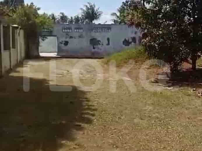
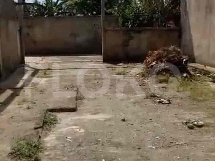
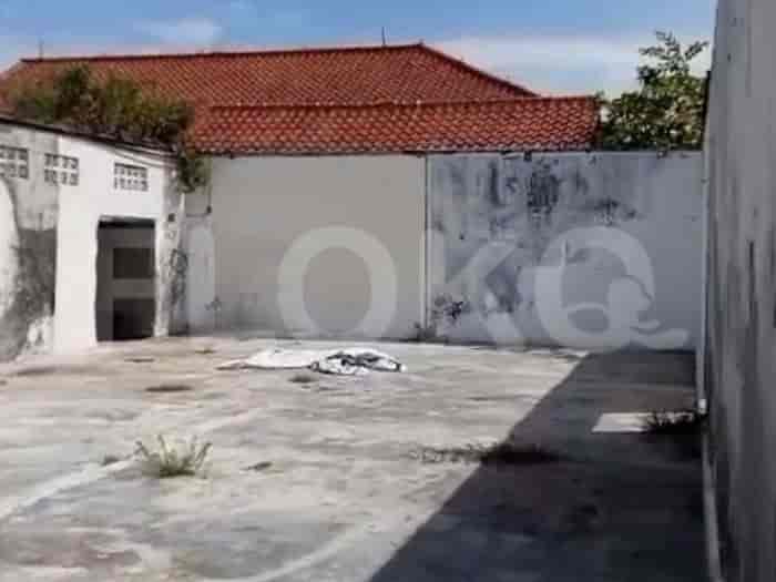
Nearby Facilities and Services - Tegal Angus
Puri Niaga IndahGraha Kencana RayaThe City Resort Residence Office TowerCitra Garden City Office TowerMall Taman Palem Office TowerDaan Mogot City Office Tower
Osaka Riverview ApartmentTokyo Riverside ApartmentCitra Garden City (Ciputra)Paradise Mansion ApartmentGold Coast ApartmentCitra Lake Suites
Bundaran HI MRT StationDukuh Atas MRT StationSetiabudi Astra Station MRT StationIstora Mandiri MRT StationBendungan Hilir MRT StationSenayan Station MRT Station
SDN Tegal Angus 1MI Nurul Huda Tegal AngusSMPN 4 TeluknagaSDN Lemo 2MI Nurul Falah Kampung BesarSDN Kampung Besar 1
STIE KalpataruUniversitas TrisaktiTrisakti UniversityBinus University, Alam SuteraBunda Mulia UniversityBunda Mulia University
Pakuhaji Regional General HospitalCiputra Hospital CitraGarden CityTzu Chi HospitalGrand Family HospitalSepatan Mulia Mother and Child HospitalMitra Keluarga Kalideres Hospital
Ministry of State SecretariatMinistry of Internal Affairs of the Republic of IndonesiaMinistry of Defense of the Republic of IndonesiaMinistry of Women's Empowerment and Child ProtectionMinistry of Energy and Mineral Resources of the Republic of IndonesiaMinistry of Foreign Affairs of the Republic of Indonesia
Rawa Gelam ParkTaman Palem Lestari Green SpaceCitra Garden ParkCengkareng Public ParkKalideres City ParkBatu Ceper Park
Kampung Gardu Bus Stop TransJakarta StationGaga Bus Stop TransJakarta StationTeluknaga Terminal Bus TerminalKampung Melayu Bus Stop TransJakarta StationPasar Teluknaga Bus Stop TransJakarta StationKampung Melayu Barat Bus Stop TransJakarta Station
Teluknaga Toll GateKosambi Toll GateCengkareng Toll GateKamal Raya Toll GateJalan Husein Sastranegara AccessSpatan Toll Gate
Pradita Golf Club & ResortGelora Bung Tomo Sports ComplexBenteng Taruna Sport CenterPratama ArenaBenteng StadiumSport Center Summarecon Mall Bekasi (Near Tangerang Border/Influence Area)
Grand Mercure Convention CenterGrand Serra Convention CenterJIExpo Kemayoran (Jakarta International Expo)JIExpo KemayoranJakarta International Expo (JIExpo) Hall D2 (often confused with sports complexes due to large event spaces)Jakarta International Expo Kemayoran
Tanjung Burung MarketKampung Melayu MarketTeluknaga MarketRawa Burung MarketTegal Alur MarketPeta Market
See Similar Subdistricts
Sitemap
Index of Apartments for Rent in ProvinceIndex of Apartments for Rent in CityIndex of Apartments for Rent in DistrictIndex of Apartments for Rent in LocalityIndex of Apartments for Rent in AreaIndex of Apartments for RentIndex of Apartments for Rent Near AttractionsIndex of Apartments for Rent by Type Filter
Index of Apartments for Sale in ProvinceIndex of Apartments for Sale in CityIndex of Apartments for Sale in DistrictIndex of Apartments for Sale in LocalityIndex of Apartments for Sale in AreaIndex of Apartments for SaleIndex of Apartments for Sale Near AttractionsIndex of Apartments for Sale by Type Filter
Index of Office BuildingIndex of ProvinceIndex of CityIndex of DistrictIndex of SubdistrictIndex of MallIndex of Mrt StationIndex of SchoolIndex of Train StationIndex of AirportIndex of Embassy And Government OfficeIndex of UniversityIndex of Residential BuildingIndex of HospitalIndex of ParkIndex of Bus StopIndex of Toll GateIndex of Sports Complex StadiumIndex of Convention Exhibition CenterIndex of Supermarket HypermarketIndex of Traditional MarketIndex of Fnb Cluster Lifestyle StreetIndex of Place Of WorshipIndex of Civic Landmark Cultural Icon