Penjaringan District, North Jakarta
Penjaringan is a district located in North Jakarta, within the Jabodetabek region of Indonesia. As the westernmost district of North Jakarta, it holds historical significance as a coastal area at the mouth of the Ciliwung River, serving as an important port for past kingdoms and Batavia. The district is characterized by its coastal location, containing remnants of Jakarta's original mangrove forest, some of which are protected within the Muara Angke Wildlife Sanctuary.
Key Highlights
- Penjaringan covers an area of approximately 36.24 km².
- As of 2020, the district had a population of 315,511 residents.
- The population density in Penjaringan was 8,895 people/km² in 2020.
- Penjaringan is divided into 5 kelurahans: Kamal Muara, Kapuk Muara, Pejagalan, Penjaringan, and Pluit.
- The district contains historic Dutch colonial buildings, including remains of Batavia's city wall and 17th-century warehouses now serving as the Maritime Museum.
- Muara Angke Port and Sunda Kelapa Port are located within Penjaringan.
- The area is prone to tidal flooding, with efforts to mitigate this through drainage improvements and dike construction.
Location & Connectivity
Penjaringan is situated in North Jakarta, bordering the Java Sea to the north, Kosambi to the west, Pademangan to the east, and Cengkareng, Tambora, Grogol Petamburan, and Kalideres to the south. The district is criss-crossed by water-draining channels, canals, and water reservoirs. The Cengkareng Drain, part of Jakarta's flood control system, flows through Penjaringan to the sea. While specific public transport access points within Penjaringan are not detailed, Jakarta's public transportation system, TransJakarta, operates dedicated bus lanes and serves a wide area of Greater Jakarta. However, public transport accessibility in Jakarta, particularly for individuals with disabilities, has been noted as an area needing improvement.
Facilities
Penjaringan's land use includes industrial areas and settlements, which are expanding. The district features historical sites such as parts of the old city wall of Batavia and 17th-century warehouses. The Muara Angke Wildlife Sanctuary protects some of Jakarta's original mangrove forests within the district.
Relevance
Penjaringan serves as a historically significant coastal and port area within Jakarta, contributing to the city's maritime activities and preserving natural mangrove ecosystems. Its development, including land reclamation, has influenced land values, with some areas like Pantai Mutiara experiencing higher land values compared to non-reclaimed areas. The district's ongoing challenges with flooding highlight the continuous urban planning efforts required for coastal districts in Jakarta.
Nearby
Penjaringan is bordered by the districts of Kosambi to the west, Pademangan to the east, and Cengkareng, Tambora, Grogol Petamburan, and Kalideres to the south. Notable features within or adjacent to Penjaringan include Muara Angke Port and Sunda Kelapa Port. The area is part of the larger Jabodetabek region, which includes Jakarta, Bogor, Depok, Tangerang, and Bekasi.
Data Table
| Category | Data Point |
|---|---|
| Total Area | 36.24 km² |
| Population (2020) | 315,511 |
| Population Density (2020) | 8,895/km² |
| Kelurahans | 5 (Kamal Muara, Kapuk Muara, Pejagalan, Penjaringan, Pluit) |
List of Subdistricts in Penjaringan
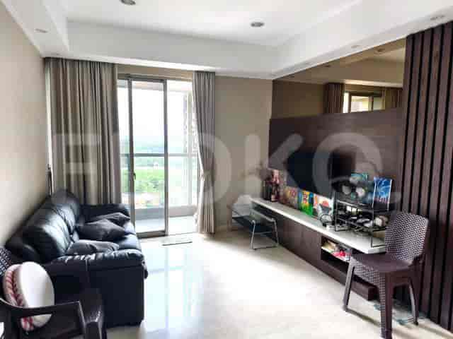
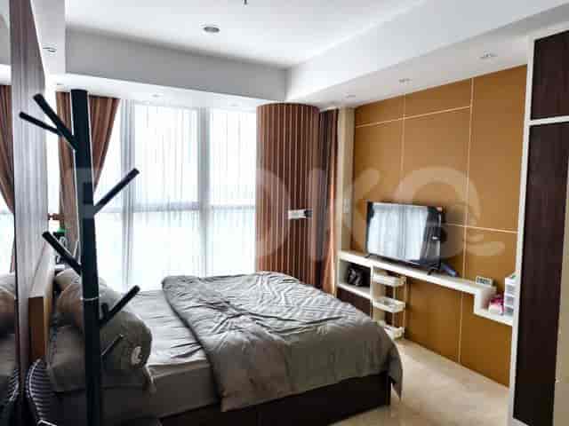
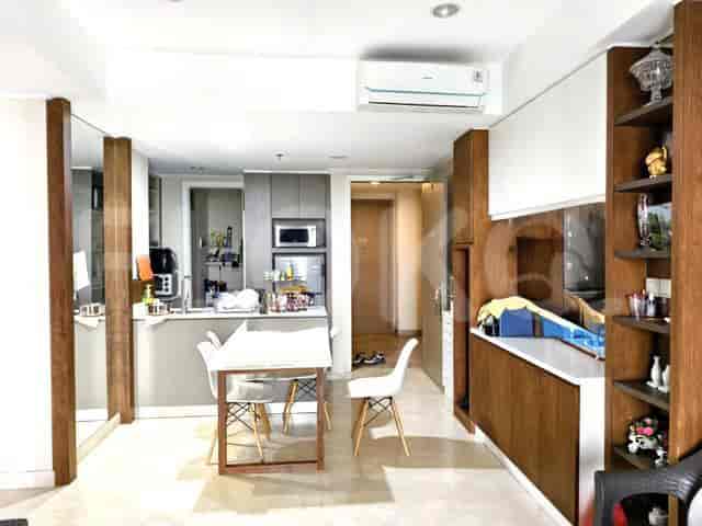
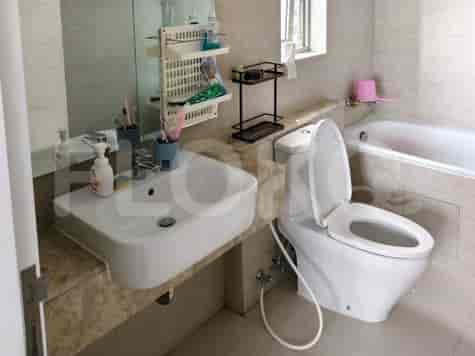
Available units in Penjaringan


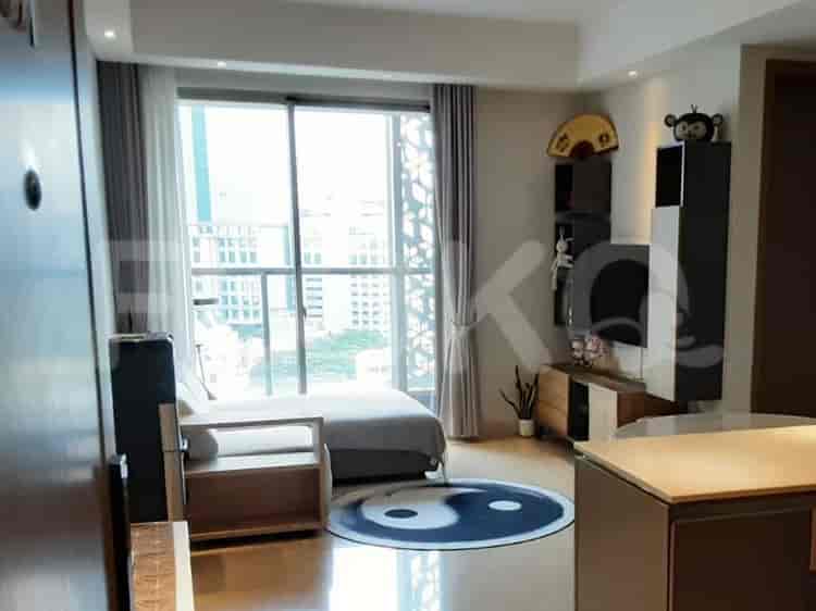

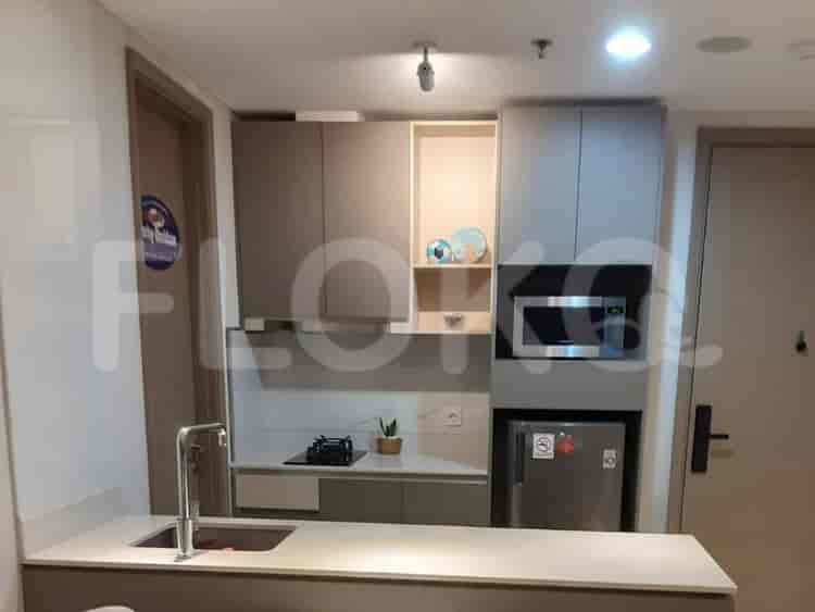



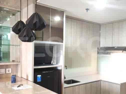
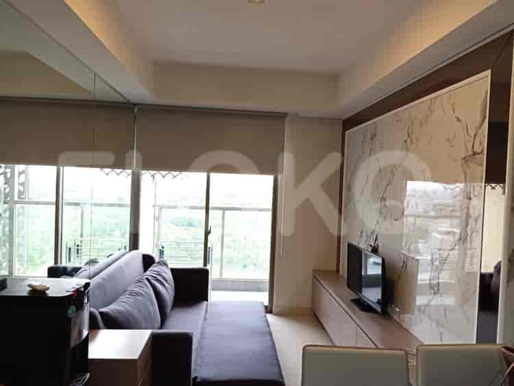

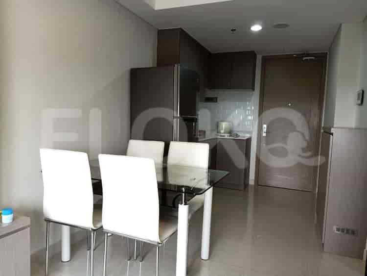
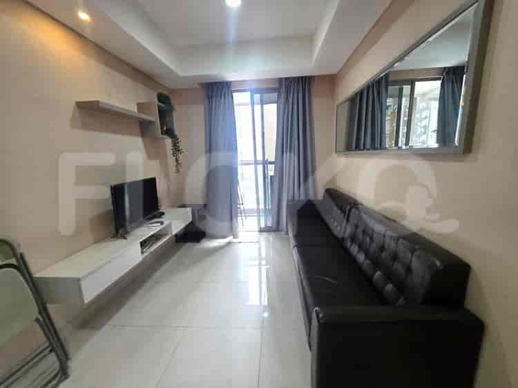
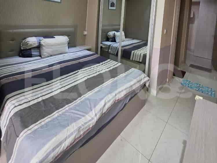
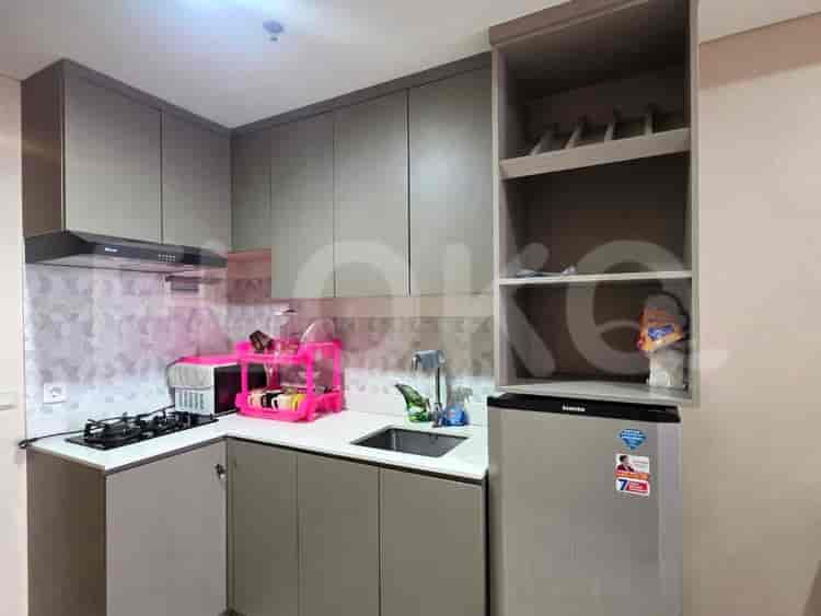
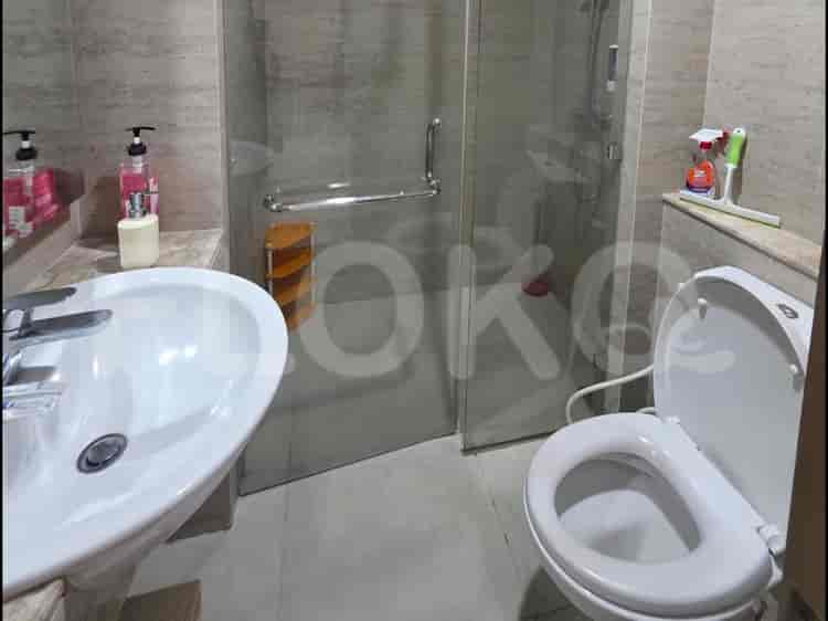
Nearby Facilities and Services - Penjaringan
The City Resort Residence Office TowerGraha Kencana RayaMall Taman Palem Office TowerGraha KedoyaCitra Garden City Office TowerGrogol Trade Center (GTC)
Gold Coast ApartmentGreen Bay Pluit ApartmentSentraland Cengkareng ApartmentGreen Sedayu ApartmentCitra Lake SuitesVittoria Residence
Bundaran HI MRT StationDukuh Atas MRT StationSetiabudi Astra Station MRT StationBendungan Hilir MRT StationIstora Mandiri MRT StationSenayan Station MRT Station
Penjaringan 01 Public Elementary SchoolKapuk Muara 01 State Elementary SchoolSDN Kamal Muara 01 PagiMI Nurul Huda Cipondoh IndahSDN Jelambar Baru 15 PagiSMPN 122 Jakarta
STIE KalpataruUniversitas TrisaktiTrisakti UniversityBunda Mulia UniversityBunda Mulia UniversityUniversitas Kristen Krida Wacana
Penjaringan Regional General HospitalPIK HospitalGrand Family HospitalTzu Chi HospitalCinta Kasih Tzu Chi HospitalCengkareng Regional General Hospital
Ministry of State SecretariatMinistry of Internal Affairs of the Republic of IndonesiaMinistry of Defense of the Republic of IndonesiaMinistry of Women's Empowerment and Child ProtectionMinistry of Energy and Mineral Resources of the Republic of IndonesiaMinistry of Foreign Affairs of the Republic of Indonesia
Taman Suaka Margasatwa Muara AngkeTaman Alam Angke KapukTaman Hutan Kota CengkarengCengkareng Public ParkTaman Palem Lestari Green SpaceTaman Waduk Pluit
Penjaringan Bus Stop TransJakarta StationJembatan Bayam Bus Stop TransJakarta StationPantai Indah Kapuk Bus Stop TransJakarta StationPantai Indah Kapuk Toll Gate Bus Stop TransJakarta StationPerumahan Muara Karang Bus Stop TransJakarta StationMuara Karang Bus Stop TransJakarta Station
Kamal Outer Ring Toll GateKapuk Toll GatePluit Toll GateCengkareng Toll GateTanjung Priok Toll Gate (Exit towards Pluit/Grogol)Jembatan Tiga Toll Gate
Pluit Sports CenterFutsal Court Pluit JunctionJelambar Sports CenterPradita Golf Club & ResortGrogol Sports HallTaman Anggrek Sports Arena
Grand Mercure Convention CenterJIExpo Kemayoran (Jakarta International Expo)JIExpo KemayoranJakarta International Expo (JIExpo) Hall D2 (often confused with sports complexes due to large event spaces)Jakarta International Expo KemayoranJIExpo Kemayoran
See Similar Districts
Sitemap
Index of Apartments for Rent in ProvinceIndex of Apartments for Rent in CityIndex of Apartments for Rent in DistrictIndex of Apartments for Rent in LocalityIndex of Apartments for Rent in AreaIndex of Apartments for RentIndex of Apartments for Rent Near AttractionsIndex of Apartments for Rent by Type Filter
Index of Apartments for Sale in ProvinceIndex of Apartments for Sale in CityIndex of Apartments for Sale in DistrictIndex of Apartments for Sale in LocalityIndex of Apartments for Sale in AreaIndex of Apartments for SaleIndex of Apartments for Sale Near AttractionsIndex of Apartments for Sale by Type Filter
Index of Office BuildingIndex of ProvinceIndex of CityIndex of DistrictIndex of SubdistrictIndex of MallIndex of Mrt StationIndex of SchoolIndex of Train StationIndex of AirportIndex of Embassy And Government OfficeIndex of UniversityIndex of Residential BuildingIndex of HospitalIndex of ParkIndex of Bus StopIndex of Toll GateIndex of Sports Complex StadiumIndex of Convention Exhibition CenterIndex of Supermarket HypermarketIndex of Traditional MarketIndex of Fnb Cluster Lifestyle StreetIndex of Place Of WorshipIndex of Civic Landmark Cultural Icon