Cengkareng: A Key District in West Jakarta
Cengkareng is a district (kecamatan) located in West Jakarta, Indonesia, within the larger Jabodetabek region. It serves as a strategic area due to its proximity to Soekarno-Hatta International Airport, a major gateway to Indonesia and Jakarta. Historically, Cengkareng was an important port, particularly for Chinese and Arab traders, and later became one of the largest ports in the Dutch East Indies. Following Indonesia's independence and the opening of the airport in 1974, Cengkareng has developed significantly, with growth in infrastructure including offices, hotels, shopping centers, and apartments.
Key Highlights
- Cengkareng has a total area of 26.56 km² (10.25 sq mi).
- As of mid-2023, the district's population was 591,748, with a density of 22,000 people/km² (58,000/sq mi).
- Cengkareng is divided into six urban villages (kelurahan): Kedaung Kali Angke, Kapuk, Cengkareng Barat, Cengkareng Timur, Rawa Buaya, and Duri Kosambi.
- The Duri-Tangerang and Tangerang-Jakarta railways pass through Cengkareng, contributing to its connectivity.
- The Mookervaart Canal, an important flood control channel connecting the Cisadane River and Kali Angke, passes through the district.
- Cengkareng is home to the Palapa Main Control Station.
- The district is a significant residential area and has experienced rapid development in infrastructure.
Location & Connectivity
Cengkareng is situated on the northwest side of Jakarta. The Duri-Tangerang and Tangerang-Jakarta railways traverse the district, providing rail access. The area is connected by major roads, and its proximity to Soekarno-Hatta International Airport, approximately 16.7 km away, makes it a strategic transportation hub. The Mookervaart Canal also runs through Cengkareng.
Relevance
Cengkareng plays a crucial role in the urban fabric of Jakarta, primarily as a key transportation gateway due to Soekarno-Hatta International Airport. The district's historical significance as a trading port and its continued development in residential and commercial sectors underscore its importance. Its infrastructure, including railway lines and major canals, contributes to the overall functionality and flood control efforts within West Jakarta. The growth in residential properties signifies its ongoing role in accommodating Jakarta's expanding population.
Nearby
Notable areas near Cengkareng include surrounding districts within West Jakarta and areas accessible via its transportation networks. Lippo Mall Puri and Mal Ciputra Mall are located in West Jakarta, offering retail and entertainment options. Other points of interest in West Jakarta include the Mangrove Ecotourism Centre PIK and Siloam Hospital. The district of Kalideres in Tangerang borders Duri Kosambi, one of Cengkareng's administrative villages.
Data Table
| Category | Detail |
|---|---|
| Total Area | 26.56 km² (10.25 sq mi) |
| Population (mid-2023) | 591,748 |
| Population Density (mid-2023) | 22,000/km² (58,000/sq mi) |
| Administrative City | West Jakarta |
| Province | DKI Jakarta |
| Number of Kelurahans | 6 |
| Kelurahans | Kedaung Kali Angke, Kapuk, Cengkareng Barat, Cengkareng Timur, Rawa Buaya, Duri Kosambi |
| Postal Codes | 11710 - 11750 |
List of Subdistricts in Cengkareng
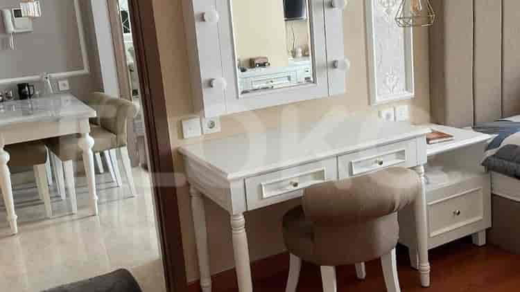
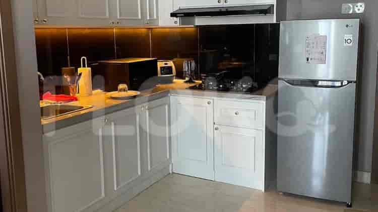
Available units in Cengkareng


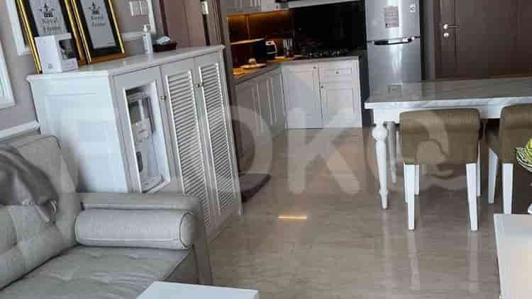
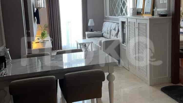
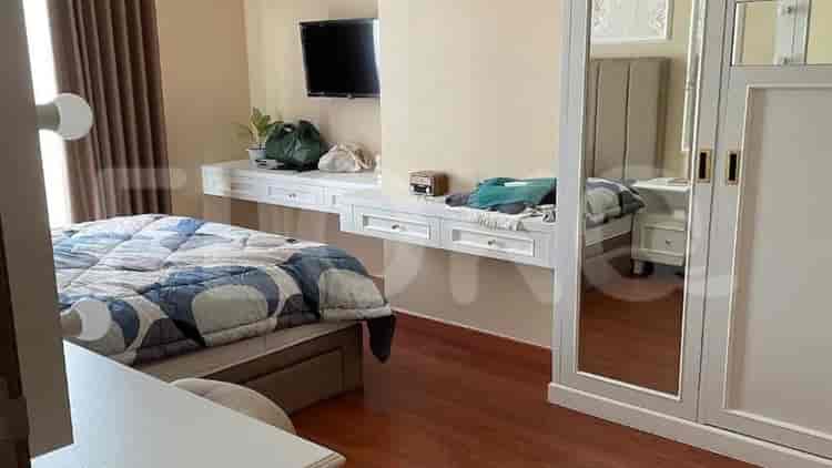
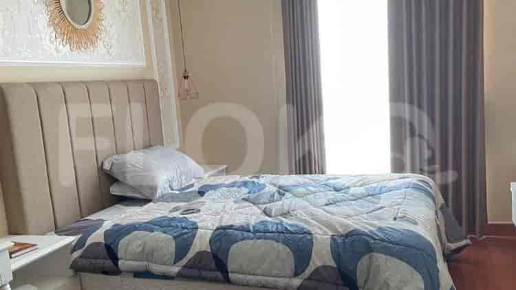


Nearby Facilities and Services - Cengkareng
Mall Taman Palem Office TowerThe City Resort Residence Office TowerGraha Kencana RayaCitra Garden City Office TowerDaan Mogot City Office TowerThe Blue Green Office Tower
Green Sedayu ApartmentSentraland Cengkareng ApartmentCitra 2 ClusterVittoria ResidenceThe Crest West Vista ApartmentGreen Park View Apartment
Bundaran HI MRT StationDukuh Atas MRT StationIstora Mandiri MRT StationSetiabudi Astra Station MRT StationBendungan Hilir MRT StationSenayan Station MRT Station
Nurul Fikri Integrated Islamic Elementary School CengkarengState Elementary School Cengkareng Timur 01 PagiState Vocational High School 42 JakartaSanto Kristoforus High SchoolSDN Cengkareng Barat 01 PagiState Senior High School 33 Jakarta
STIE KalpataruUniversitas TrisaktiTrisakti UniversityUniversitas Kristen Krida WacanaUniversitas Esa UnggulUniversitas Tarumanagara
Cengkareng Regional General HospitalCinta Kasih Tzu Chi HospitalGrand Family HospitalHermina Daan Mogot HospitalCiputra Hospital CitraGarden CityMitra Keluarga Kalideres Hospital
Ministry of State SecretariatMinistry of Defense of the Republic of IndonesiaMinistry of Women's Empowerment and Child ProtectionMinistry of Internal Affairs of the Republic of IndonesiaMinistry of Energy and Mineral Resources of the Republic of IndonesiaEmbassy of the Democratic Republic of Timor Leste
Cengkareng Public ParkTaman Palem Lestari Green SpaceCitra Garden ParkTaman Alam Angke KapukRawa Buaya ParkKalideres City Park
Cengkareng Terminal Bus TerminalRSUD Cengkareng TransJakarta StationCengkareng Bus Stop Bus TerminalTaman Palem TransJakarta StationPasar Ganefo Bus Stop TransJakarta StationCitra 1 Bus Stop TransJakarta Station
Cengkareng Toll GateKamal Outer Ring Toll GateRawa Buaya Toll GateRawa Buaya Toll GateDaan Mogot Toll GateRawa Buaya Toll Gate
Pluit Sports CenterPradita Golf Club & ResortFutsal Court Pluit JunctionJelambar Sports CenterGelora Bung Tomo Sports ComplexGrogol Sports Hall
Grand Mercure Convention CenterJakarta Convention CenterPratama HallJCC SenayanJIExpo KemayoranJIExpo Kemayoran (Jakarta International Expo)
Kopor MarketGabungan MarketCengkareng Barat MarketCengkareng Market (Tangerang Border Area)Kapuk MarketPulo Nangka Market
See Similar Districts
Sitemap
Index of Apartments for Rent in ProvinceIndex of Apartments for Rent in CityIndex of Apartments for Rent in DistrictIndex of Apartments for Rent in LocalityIndex of Apartments for Rent in AreaIndex of Apartments for RentIndex of Apartments for Rent Near AttractionsIndex of Apartments for Rent by Type Filter
Index of Apartments for Sale in ProvinceIndex of Apartments for Sale in CityIndex of Apartments for Sale in DistrictIndex of Apartments for Sale in LocalityIndex of Apartments for Sale in AreaIndex of Apartments for SaleIndex of Apartments for Sale Near AttractionsIndex of Apartments for Sale by Type Filter
Index of Office BuildingIndex of ProvinceIndex of CityIndex of DistrictIndex of SubdistrictIndex of MallIndex of Mrt StationIndex of SchoolIndex of Train StationIndex of AirportIndex of Embassy And Government OfficeIndex of UniversityIndex of Residential BuildingIndex of HospitalIndex of ParkIndex of Bus StopIndex of Toll GateIndex of Sports Complex StadiumIndex of Convention Exhibition CenterIndex of Supermarket HypermarketIndex of Traditional MarketIndex of Fnb Cluster Lifestyle StreetIndex of Place Of WorshipIndex of Civic Landmark Cultural Icon