Jalan Raya Kelapa Dua, Kecamatan Kelapa Dua, Kabupaten Tangerang
Jalan Raya Kelapa Dua is a prominent F&B cluster and lifestyle street located in the Kelapa Dua subdistrict, within the Kecamatan Kelapa Dua of Kabupaten Tangerang, Banten. This area serves as a significant commercial artery, characterized by a concentration of dining and lifestyle establishments. Its strategic location within a rapidly developing district contributes to its role as a local economic and social hub.
Key Highlights
- Jalan Raya Kelapa Dua is situated in Kecamatan Kelapa Dua, Kabupaten Tangerang, which covers an area of 26.22 km².
- The population of Kecamatan Kelapa Dua was estimated at 167,553 in mid-2023.
- Kecamatan Kelapa Dua is subdivided into five urban communities (kelurahan): Kelapa Dua, Bencongan, Bencongan Indah, Bojong Nangka, and Pakulonan Barat, and one village (desa): Curug Sangereng.
- The area experiences a population growth rate estimated at over 4% per year, driven by new job opportunities in the service and trade sectors.
- Real estate prices for houses in Kelapa Dua have shown stability over the last three months, with an increase in available properties for sale.
- The area's topography is generally flat, with an average slope of 0-3% and elevations ranging from 0-25 meters above sea level.
- The primary economic activity in Kecamatan Kelapa Dua is concentrated in the trade sector.
Location & Connectivity
Jalan Raya Kelapa Dua is strategically located in the northern part of Kabupaten Tangerang, bordering Kota Tangerang. The street benefits from good accessibility via various transportation options. Public bus routes, including TransJakarta (T11: Terminal Poris Plawad–Petamburan) and Trans Tangerang Ayo (Corridor 2: Terminal Poris Plawad–Alun Alun Cibodas), serve the wider Kelapa Dua area. Major roads such as Jalan Imam Bonjol, Jalan Tol Jakarta-Tangerang, Jalan Boulevard Gading Serpong, Jalan Ir. Soekarno, and Jalan BSD Raya Utama facilitate vehicular access. Bus stops like Ruko Sentra Gading and Instant Drop Off Summarecon Mall Serpong further enhance local connectivity. The street is also accessible by other local bus routes such as R06, R06A, R19, R13, and R07.
Facilities
As an F&B cluster and lifestyle street, Jalan Raya Kelapa Dua is characterized by numerous commercial establishments, including shops (ruko) that line the road. These typically offer good visibility for businesses and often include parking access for customers.
Relevance
Jalan Raya Kelapa Dua plays a vital role in the urban development of Kabupaten Tangerang and the broader Jabodetabek area. Its strategic location and well-developed infrastructure have attracted substantial investment, particularly in retail and large-scale middle-class residential developments. The street's concentration of F&B and lifestyle businesses contributes significantly to the local economy and provides essential services and amenities to the surrounding residential communities, including well-known independent cities like Lippo Village and Gading Serpong.
Nearby
Notable nearby areas and facilities include several major residential developments such as Summarecon Serpong, Paramount Serpong, Villa Ilhami, Perum Kelapa Dua, Palem Semi, Perumahan Harapan Kita, Perumahan Dasana Indah, and Karawaci Residence. Major shopping centers in the vicinity include Supermal Karawaci, Summarecon Mall Serpong, and Summarecon Digital Center. Traditional and modern markets such as Pasar Modern Mutiara Karawaci, Pasar Kelapa Dua, Pasar Modern Sinpasa Gading Serpong, Pasar Modern Paramount, and Pasar Bonang are also present. Universities like Universitas Matana, Universitas Pelita Harapan, Universitas Multimedia Nusantara, Universitas Gunadarma, and Pradita Institute are also located in the wider Kelapa Dua area. The district borders Kecamatan Curug to the west, Kecamatan Legok and Kecamatan Pagedangan to the south, Kota Tangerang to the north, and Kecamatan Serpong Utara to the east.
Data Table
| Category | Data Point | Value |
|---|---|---|
| Region | Kabupaten Tangerang | Banten, Indonesia |
| District | Kecamatan Kelapa Dua | |
| Subdistrict | Kelapa Dua | |
| Area (Kecamatan Kelapa Dua) | Total Area | 26.22 km² |
| Population (Kecamatan Kelapa Dua) | Mid-2023 Estimate | 167,553 |
| Population Density (Kecamatan Kelapa Dua) | Mid-2023 Estimate | 6,390/km² |
| Kelurahan (Kecamatan Kelapa Dua) | List of Kelurahan | Kelapa Dua, Bencongan, Bencongan Indah, Bojong Nangka, Pakulonan Barat |
| Desa (Kecamatan Kelapa Dua) | List of Desa | Curug Sangereng |
| Postcode | Kelapa Dua | 15810 / 15811 |
Available units near Jalan Raya Kelapa Dua


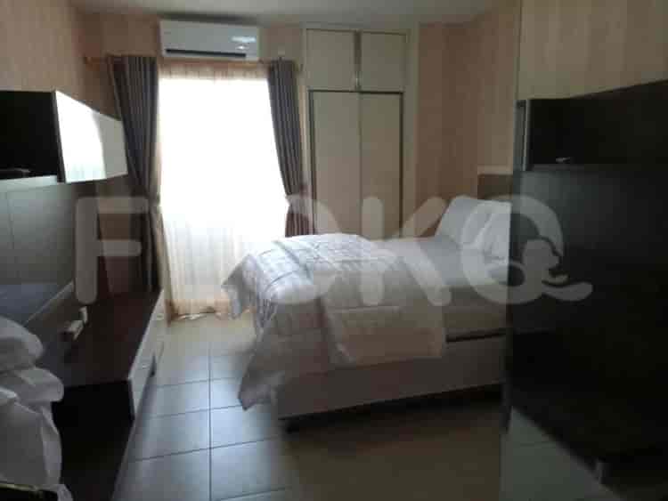
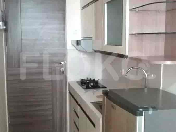

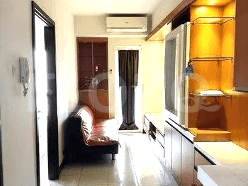
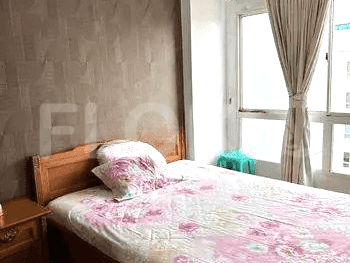
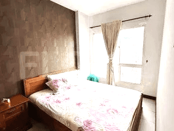
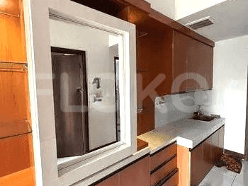
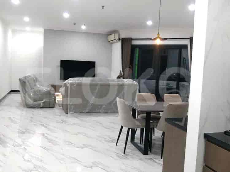
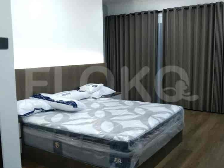



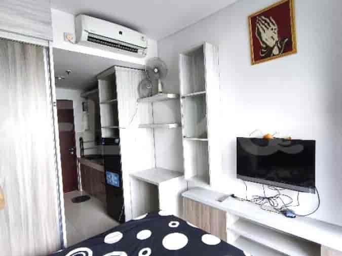
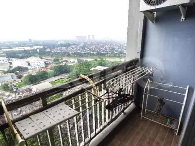
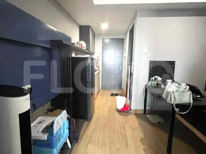
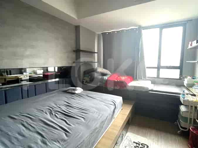
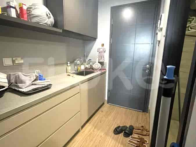
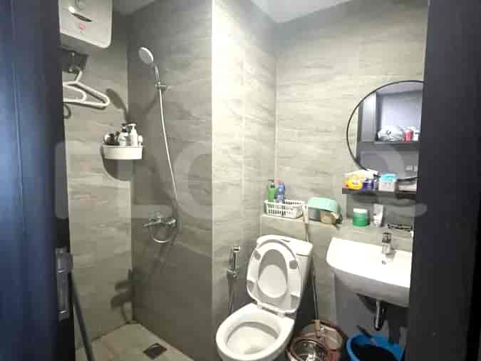
Nearby Facilities and Services - Jalan Raya Kelapa Dua
Karawaci Office ParkKino TowerBSD Green Office ParkGreenlake City Office TowerGraha CIMB NiagaDaan Mogot City Office Tower
M Town Residence SerpongThe Medina ApartmentScientia ResidencesImperial Golf EstateU ResidenceSpringwood Residence
Summarecon Mall SerpongLiving World Alam SuteraIKEA Alam SuteraLippo Mall KarawaciAEON BSDModern Market BSD
Lebak Bulus MRT StationBlok A MRT StationBlok M MRT StationHaji Nawi MRT StationFatmawati MRT StationCipete Raya MRT Station
SDN Kelapa Dua 1Stella Maris School Gading SerpongSMP Mutiara InsaniSyafana Islamic SchoolPenabur Gading Serpong SchoolSekolah Tunas Bangsa Gading Serpong
Multimedia Nusantara UniversityInternational University Liaison IndonesiaPelita Harapan UniversityUniversitas Pelita Harapan (UPH)Binus University, Alam SuteraBinus University
Rawa Buntu StationKalideres StationJurangmangu StationTaman Kota StationKebayoran StationPalmerah Station
Bethsaida HospitalRS Siloam KarawaciMitra Keluarga Gading Serpong HospitalMurni Asih Mother and Child HospitalSt. Carolus Summarecon Serpong HospitalPrimaya Hospital Tangerang
Embassy of New ZealandEmbassy of Papua New GuineaMinistry of Public Works and HousingMinistry of Education and CultureEmbassy of the Republic of Marshall IslandsEmbassy of the Republic of Suriname
Kelapa Dua ParkScientia Square ParkLippo Village Central ParkTaman HijauKota Kasablanka Park (if referring to a specific area within BSD/Gading Serpong that mimics this concept, though typically this is Jakarta. Assuming local usage for a major landscaped area)Taman Alam Sutera Main Park
Gading Serpong Boulevard Bus Stop TransJakarta StationSummarecon Mall Bus Stop TransJakarta StationKelapa Dua Bus Stop TransJakarta StationGiant Serpong Bus Stop TransJakarta StationGading Golf City Bus Stop TransJakarta StationPintu Tol Karawaci 2 Stop TransJakarta Station
Kelapa Dua Toll GateKelapa Dua Toll GateExit Karawaci 1Karawaci Toll GateKarawaci 2 Toll GateLippo Karawaci Toll Gate
Gading Serpong Sports CenterKelapa Dua Sport CenterGading Raya Sports CenterPradita University Sports CenterImperial Golf CourseKarawaci International Golf Club
Grand Serra Convention CenterMNC StudiosICE BSD CityPrasetya Mulya Convention CenterQ-BiC Convention CenterAssembly Hall BSD City
Pakuwon Mall Serpong (Near Old Location)Summarecon Mall SerpongSuper IndoHypermartHypermartHypermart
See Similar Fnb Cluster Lifestyle Street
Sitemap
Index of Apartments for Rent in ProvinceIndex of Apartments for Rent in CityIndex of Apartments for Rent in DistrictIndex of Apartments for Rent in LocalityIndex of Apartments for Rent in AreaIndex of Apartments for RentIndex of Apartments for Rent Near AttractionsIndex of Apartments for Rent by Type Filter
Index of Apartments for Sale in ProvinceIndex of Apartments for Sale in CityIndex of Apartments for Sale in DistrictIndex of Apartments for Sale in LocalityIndex of Apartments for Sale in AreaIndex of Apartments for SaleIndex of Apartments for Sale Near AttractionsIndex of Apartments for Sale by Type Filter
Index of Office BuildingIndex of ProvinceIndex of CityIndex of DistrictIndex of SubdistrictIndex of MallIndex of Mrt StationIndex of SchoolIndex of Train StationIndex of AirportIndex of Embassy And Government OfficeIndex of UniversityIndex of Residential BuildingIndex of HospitalIndex of ParkIndex of Bus StopIndex of Toll GateIndex of Sports Complex StadiumIndex of Convention Exhibition CenterIndex of Supermarket HypermarketIndex of Traditional MarketIndex of Fnb Cluster Lifestyle StreetIndex of Place Of WorshipIndex of Civic Landmark Cultural Icon