Food Stalls near Cempaka Putih Toll Gate, West Cempaka Putih
The Food Stalls near Cempaka Putih Toll Gate represent a dynamic lifestyle and food and beverage cluster situated in West Cempaka Putih, Central Jakarta, Indonesia. This area is recognized for its concentration of street food vendors, locally known as 'kaki lima,' offering diverse and affordable Indonesian cuisine. These clusters contribute to the urban fabric by providing accessible dining options and fostering a lively atmosphere. The Cempaka Putih area itself is predominantly residential with high-density housing, alongside business and office areas along major roads.
Key Highlights
- Located in West Cempaka Putih, a subdistrict within Central Jakarta.
- Part of a larger district, Cempaka Putih, which was established in 1969.
- Cempaka Putih District had a population of 102,040 in 2021.
- West Cempaka Putih subdistrict has a population of approximately 43,371 people.
- The area is known for its authentic Indonesian cuisine and affordable food options.
- Street food vendors, known as 'kaki lima', are a significant part of Jakarta's culinary landscape.
- The Cempaka Putih Toll Gate is part of the Jakarta Inner-City Toll Road, connecting various parts of Jakarta.
Location & Connectivity
The food stalls are located in West Cempaka Putih, a subdistrict of Cempaka Putih in Central Jakarta. Cempaka Putih is bordered by major roads, including Jenderal Ahmad Yani Bypass Highway to the east, Pramuka Road to the south, and Letjend Suprapto Road to the north. The Cempaka Putih Toll Gate provides access to the Jakarta Inner-City Toll Road, facilitating connectivity to other parts of Jakarta. Public transportation in the broader Cempaka Putih area includes TransJakarta bus routes, with several bus stops serving the area. Walkability is supported by a network of local roads.
Relevance
These food stalls near the Cempaka Putih Toll Gate serve as an important urban amenity, providing accessible and diverse culinary options for residents and commuters. As a lifestyle and food and beverage cluster, it contributes to the local economy and the social vibrancy of West Cempaka Putih. The presence of such clusters reflects Jakarta's dynamic urban lifestyle and its rich cultural diversity, where street food plays a significant role in daily routines. The area's proximity to a major toll gate further enhances its role as a convenient stop for travelers.
Nearby
Nearby notable areas include other parts of Cempaka Putih District, which is largely residential and high-density, with some upscale housing and business areas. The district is bounded by significant roads such as Jenderal Ahmad Yani Bypass Highway, Pramuka Road, and Letjend Suprapto Road. The Cempaka Putih Public Park is located in the neighboring Cempaka Putih Timur subdistrict, offering green space for leisure.
Data Table
| Category | Data |
|---|---|
| POI Type | F&B Cluster (Lifestyle Street) |
| Region | Jakarta, Indonesia |
| District | Cempaka Putih |
| Subdistrict | West Cempaka Putih |
| West Cempaka Putih Area | 1.2128 km² (121.28 Ha) |
| Cempaka Putih District Area | 4.69 km² |
| West Cempaka Putih Population (2021) | 43,371 |
| Cempaka Putih District Population (2021) | 102,040 |
| Kelurahans in Cempaka Putih District | Cempaka Putih Timur, Cempaka Putih Barat, Rawasari |
| Major Roads nearby | Jenderal Ahmad Yani Bypass Highway, Pramuka Road, Letjend Suprapto Road |
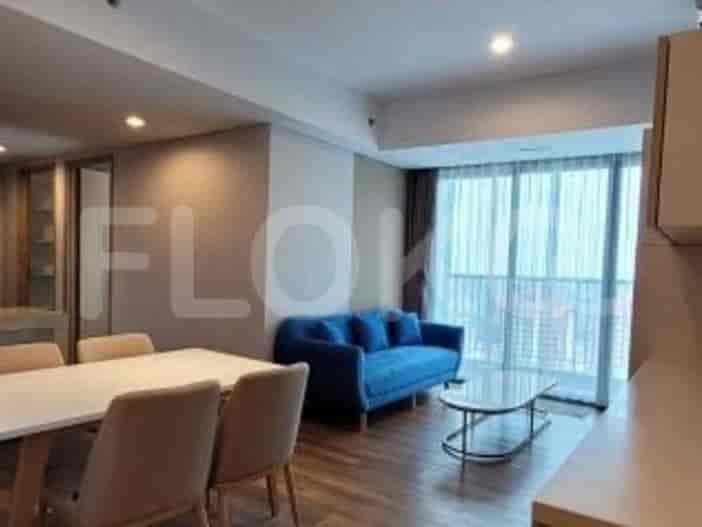
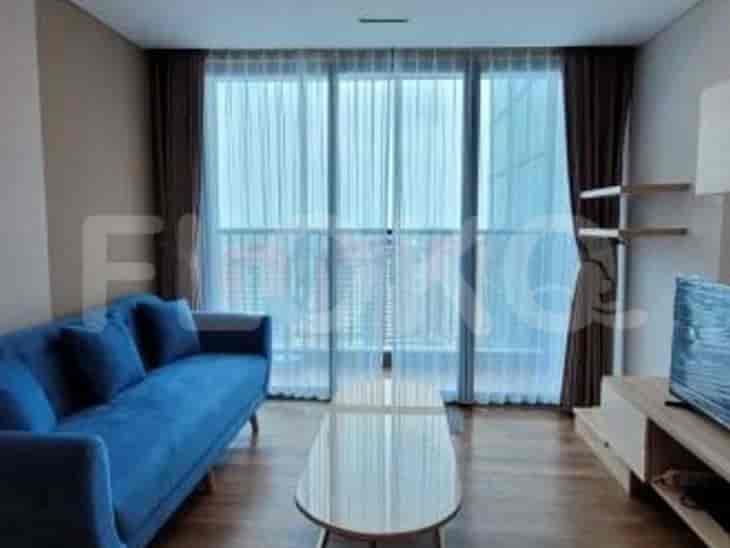
Available units near Food Stalls near Cempaka Putih Toll Gate











Nearby Facilities and Services - Food Stalls near Cempaka Putih Toll Gate
Kharisma BuildingWisma Antara Office TowerPlaza PermataPlaza PermataBPPT BuildingOil Center Building
Arandra ResidenceGreen Pramuka City ApartmentCapitol ParkMenteng Square ApartmentCapitol Suites ApartmentMitra Oasis Residence
Bundaran HI MRT StationDukuh Atas MRT StationSetiabudi Astra Station MRT StationBendungan Hilir MRT StationIstora Mandiri MRT StationSenayan Station MRT Station
State Elementary School Cempaka Putih Barat 07 MorningState Elementary School Cempaka Putih Barat 05 MorningState Elementary School Cempaka Putih Barat 02 MorningState Elementary School Cempaka Putih Barat 01 MorningState Elementary School Cempaka Putih Barat 15 MorningState Elementary School Cempaka Putih Barat 16 Morning
Universitas YARSIAkademi Keuangan dan Perbankan YPKP JakartaJakarta State UniversitySTIKES CikiniInstitut Kesenian JakartaJakarta Institute of Arts
Sentiong StationKramat StationPasar Senen Train StationPondok Jati StationCikini StationKemayoran Station
Cempaka Putih Regional General HospitalIslam Hospital Cempaka PutihJohar Baru District General HospitalYarsi HospitalSukapura Jakarta Islamic HospitalJakarta Islamic Hospital Pondok Kopi
Ministry of Finance of the Republic of IndonesiaMinistry of Foreign Affairs of the Republic of IndonesiaMinistry of Trade The Apostolic Nunciature to IndonesiaEmbassy of the United States of AmericaEmbassy of Brunei Darussalam
Jalan Cempaka Putih Barat ParketteCempaka Putih Public ParkSenen ParkTaman Pulo MasMatraman ParkJalan Prapatan Park Area
Cempaka Putih Bus Stop TransJakarta StationJohar Baru Bus Stop TransJakarta StationRawa Selatan Bus Stop TransJakarta StationGalur Bus Stop TransJakarta StationCempaka Putih Permai Bus Stop TransJakarta StationCempaka Putih Bus Stop
Cempaka Putih Toll GatePulo Mas Toll GatePramuka Toll GatePramuka Toll GateMatraman Toll GateToll Gate Sunter (Often used by Kelapa Gading residents)
Kemayoran Sports ComplexJakarta International Pulo Mas Equestrian ParkKemayoran Sports ComplexRawamangun Sports ComplexKemayoran Sports ComplexKemayoran Sports Complex
JIExpo KemayoranJakarta International ExpoJakarta International Expo KemayoranKartini Exhibition HallJIExpo KemayoranJIExpo Kemayoran
Super Indo Cempaka PutihTransmart Cempaka Putih (Near Border)Super IndoSuper IndoHypermartSuper Indo
See Similar Fnb Cluster Lifestyle Street
Sitemap
Index of Apartments for Rent in ProvinceIndex of Apartments for Rent in CityIndex of Apartments for Rent in DistrictIndex of Apartments for Rent in LocalityIndex of Apartments for Rent in AreaIndex of Apartments for RentIndex of Apartments for Rent Near AttractionsIndex of Apartments for Rent by Type Filter
Index of Apartments for Sale in ProvinceIndex of Apartments for Sale in CityIndex of Apartments for Sale in DistrictIndex of Apartments for Sale in LocalityIndex of Apartments for Sale in AreaIndex of Apartments for SaleIndex of Apartments for Sale Near AttractionsIndex of Apartments for Sale by Type Filter
Index of Office BuildingIndex of ProvinceIndex of CityIndex of DistrictIndex of SubdistrictIndex of MallIndex of Mrt StationIndex of SchoolIndex of Train StationIndex of AirportIndex of Embassy And Government OfficeIndex of UniversityIndex of Residential BuildingIndex of HospitalIndex of ParkIndex of Bus StopIndex of Toll GateIndex of Sports Complex StadiumIndex of Convention Exhibition CenterIndex of Supermarket HypermarketIndex of Traditional MarketIndex of Fnb Cluster Lifestyle StreetIndex of Place Of WorshipIndex of Civic Landmark Cultural Icon