Area Sekitar Jatibening Permai: F&B Cluster in Jatibening, Kota Bekasi
Area Sekitar Jatibening Permai functions as a prominent food and beverage (F&B) and lifestyle street cluster situated in the Jatibening subdistrict of Kecamatan Pondok Gede, Kota Bekasi, Indonesia. This area serves as a significant commercial hub, contributing to the urban landscape by providing diverse culinary and lifestyle offerings. Its strategic location facilitates accessibility for residents and visitors within Kota Bekasi and its surrounding regions, solidifying its role as a key point of interest for daily activities and leisure. The area around Jatibening Permai is characterized by its dynamic commercial activity, particularly within the F&B sector, making it a focal point for social and economic interactions in the local community.
Key Highlights
- Located in Jatibening, one of the five kelurahans within Kecamatan Pondok Gede.
- Kecamatan Pondok Gede covers an area of 17.43 km² (1,743 hectares).
- As of mid-2023, the population of Kecamatan Pondok Gede was estimated at 227,423.
- Jatibening is bordered by Kelurahan Bintarajaya and Kelurahan Jakasampurna (Kecamatan Bekasi Barat) to the north, Kelurahan Jakamulya (Kecamatan Bekasi Barat) to the east, Kelurahan Jatikramat (Kecamatan Jatiasih) to the south, and Kelurahan Jatibeningbaru (Kecamatan Pondokgede) to the west.
- The real estate market in Jatibening has shown stable property prices over the past two months.
- Kecamatan Pondok Gede is one of the twelve administrative districts in the city municipality of Bekasi, West Java.
Location & Connectivity
Area Sekitar Jatibening Permai is strategically located on Jl. Caman Raya No.2, providing direct road access within Jatibening. The area benefits from its proximity to major transportation arteries. It is situated near the Jakarta-Cikampek Toll entrance and exit gates, including Gerbang Tol Pondok Gede Timur 2 and Exit Tol Jatibening. Public transportation access is supported by the nearby Jatibening Baru LRT station, which is part of the Dukuh Atas - Jatimulya LRT line. The LRT system connects Jatibening Baru to key areas such as Halim, Cikunir I & II, Bekasi Barat, and Jatimulya, offering a convenient alternative for commuting.
Relevance
Area Sekitar Jatibening Permai plays a role in shaping its surroundings by serving as a concentrated hub for culinary and lifestyle businesses. This concentration of F&B establishments and lifestyle-oriented services contributes to the local economy and provides essential amenities for the residents of Jatibening and the wider Kecamatan Pondok Gede area. Its presence as a commercial cluster enhances the urban vibrancy and caters to daily needs, making it a point of convergence for social and economic activity.
Nearby
Nearby notable locations include various kelurahans within Kecamatan Pondok Gede such as Jatibening Baru, Jaticempaka, Jatimakmur, and Jatiwaringin. Major roads and toll access points like the Jakarta-Cikampek Toll and Jl. Caman Raya are in close proximity. The area is also served by the Jatibening Baru LRT station. Other surrounding districts include Kecamatan Makasar and Kecamatan Bekasi Barat to the north, Kecamatan Cipayung to the west, Kecamatan Bekasi Selatan to the east, and Kecamatan Pondok Melati and Jatiasih to the south.
Data Table
| Category | Detail |
|---|---|
| POI Name | Area Sekitar Jatibening Permai |
| POI Type | fnb_cluster_lifestyle_street |
| Region | Kota Bekasi, Indonesia |
| District | Kecamatan Pondok Gede |
| Subdistrict | Jatibening |
| Address | Jl. Caman Raya No.2, RT.002/RW.003, Jatibening, Kec. Pd. Gede, Kota Bks, Jawa Barat 17412, Indonesia |
| Latitude | -6.258710199999999 |
| Longitude | 106.9499223 |
| Kecamatan Pondok Gede Area | 17.43 km² (1,743 hectares) |
| Kecamatan Pondok Gede Population (mid-2023 estimate) | 227,423 |
| Kelurahans in Pondok Gede | Jatibening, Jatibening Baru, Jaticempaka, Jatimakmur, Jatiwaringin |
| Jatibening Postcode | 17412 |
Available units near Area Sekitar Jatibening Permai


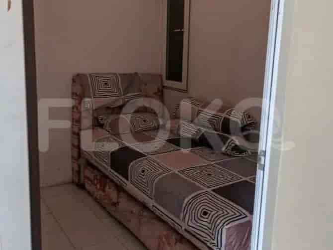
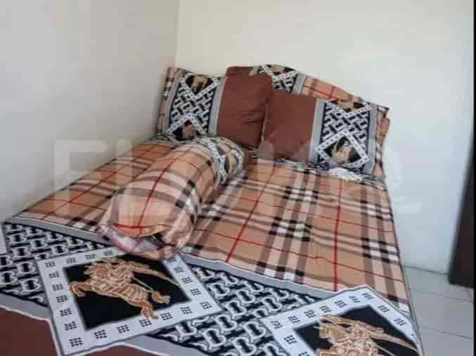
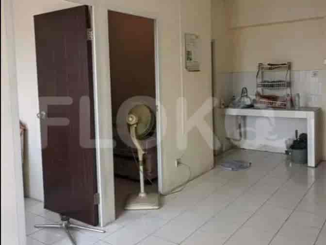


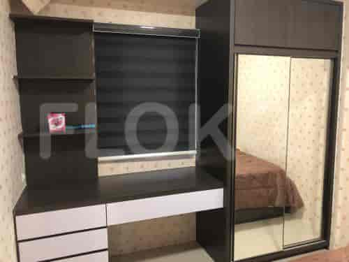
Nearby Facilities and Services - Area Sekitar Jatibening Permai
Bekasi Cyber Park (BCP)Puri Sentra NiagaWalikota Jakarta Timur Office Area ProximityGraha IntiPulo Gadung Industrial EstateGraha Intirub
Gateway Park LRT CityGrand Kamala LagoonMutiara BekasiVilla Duta AreaPatraland Urbano BekasiSentra Timur Residence
Mall Cipinang IndahSummarecon Mall BekasiPasar Grosir JatinegaraGrand Cakung MallTamini SquareLippo Plaza Kramat Jati
Setiabudi Astra Station MRT StationBendungan Hilir MRT StationDukuh Atas MRT StationSenayan Station MRT StationBundaran HI MRT StationIstora Mandiri MRT Station
Al Azhar 11 Jatibening Islamic Senior High SchoolAl-Azhar Islamic Boarding SchoolSMA Perguruan RakyatSDN Bintara Jaya 1SMP Negeri 20 BekasiSDN Jatibening Baru I
Mercu Buana University Jatiwaringin CampusKrisnadwipayana UniversityTri BhaktiBorobudur UniversityBinus University (Bekasi Campus)Paramadina University
Cakung StationBuaran StationBekasi StationKlender StationBekasi Timur StationJatinegara Train Station
Hermina Galaxy HospitalMitra Keluarga Bekasi Barat HospitalMasmitra HospitalBudi Lestari HospitalBekasi City Regional General HospitalGlobal Awal Bros Hospital Bekasi
Embassy of the People's Republic of BangladeshBritish Embassy JakartaEmbassy of AustraliaEmbassy of MalaysiaRoyal Netherlands EmbassyRoyal Embassy of Cambodia
Pondok Gede City ParkGrand Galaxy ParkPondok Kelapa ParkBulevard Park (Grand Galaxy City)Kemang Pratama ParkKota Bekasi City Park
Galaxy Bus Stop TransJakarta StationPondok Gede Bus Stop TransJakarta StationPondok Gede Bus TerminalKalimalang Bridge Bus Stop TransJakarta StationGrand Galaxy City Bus Stop TransJakarta StationBabelan Bus Stop TransJakarta Station
Tol Bekasi Timur (JORR/Cikampek)Kalimalang Toll GateTol Gate JatibeningPondok Gede Toll GateBekasi Barat Toll GateBekasi Barat 2 Toll Gate
Jati Bening Sports CenterBintara Sports CenterBekasi City Sports ArenaPatriot Candrabhaga StadiumPuspor Halim Perdanakusuma Sports Center (Near Depok Border)Jatinegara Sports Hall
Grand Galaxy Convention CenterBekasi Convention CenterSavana Convention HallBalai KartiniJIExpo KemayoranKartini Exhibition Hall
See Similar Fnb Cluster Lifestyle Street
Sitemap
Index of Apartments for Rent in ProvinceIndex of Apartments for Rent in CityIndex of Apartments for Rent in DistrictIndex of Apartments for Rent in LocalityIndex of Apartments for Rent in AreaIndex of Apartments for RentIndex of Apartments for Rent Near AttractionsIndex of Apartments for Rent by Type Filter
Index of Apartments for Sale in ProvinceIndex of Apartments for Sale in CityIndex of Apartments for Sale in DistrictIndex of Apartments for Sale in LocalityIndex of Apartments for Sale in AreaIndex of Apartments for SaleIndex of Apartments for Sale Near AttractionsIndex of Apartments for Sale by Type Filter
Index of Office BuildingIndex of ProvinceIndex of CityIndex of DistrictIndex of SubdistrictIndex of MallIndex of Mrt StationIndex of SchoolIndex of Train StationIndex of AirportIndex of Embassy And Government OfficeIndex of UniversityIndex of Residential BuildingIndex of HospitalIndex of ParkIndex of Bus StopIndex of Toll GateIndex of Sports Complex StadiumIndex of Convention Exhibition CenterIndex of Supermarket HypermarketIndex of Traditional MarketIndex of Fnb Cluster Lifestyle StreetIndex of Place Of WorshipIndex of Civic Landmark Cultural Icon