Cakung Timur: A Subdistrict in East Jakarta, Jabodetabek
Cakung Timur is an administrative village (kelurahan) within the Cakung district of East Jakarta, Indonesia. Historically, the Cakung area, where Cakung Timur is located, held significance as the Kali Cakung (Cakung River) once served as a boundary line between the Republic of Indonesia and Allied forces. The subdistrict was established in 1992, initially named Kelurahan Cakung Baru, and was renamed Cakung Timur in 2008.
Key Highlights
- Cakung Timur has a population of 71,535 inhabitants.
- The subdistrict covers an area of 9.8138 km².
- It is one of seven kelurahans within the Cakung district.
- Cakung Timur is bordered by Cilincing to the north, Cakung Barat to the west, Ujung Menteng to the east, and Pulo Gebang to the south.
- The broader Cakung district is a strategic area with major roads like Jalan Raya Bekasi and Jalan I Gusti Ngurah Rai.
- Cakung district is served by the Jakarta Outer Ring Road (JORR).
- Real estate trends in Indonesia, including Jabodetabek, indicate a focus on suburban townships for new housing supply.
Location & Connectivity
Cakung Timur is situated in East Jakarta, part of the larger Jabodetabek metropolitan area. The subdistrict benefits from its location within the Cakung district, which is well-connected by several main roads, including Jalan Raya Bekasi and Jalan I Gusti Ngurah Rai. The Jakarta Outer Ring Road (JORR) also serves the Cakung district, providing significant accessibility. Public transportation options in the wider Cakung area include access to the KRL Commuterline, with Cakung Station being one of the stops on the Cikarang Loop Line. The Pulo Gebang Bus Terminal, one of the largest in Southeast Asia and integrated with the JORR and railway, is also located within the Cakung district.
Relevance
Cakung Timur, as part of the Cakung district, plays a role in the urban fabric of East Jakarta and the Jabodetabek region by contributing to the residential and, to some extent, industrial landscape. The broader Cakung area has significant industrial zones such as the Pulogadung Industrial complex and Perkampungan Industri Kecil (PIK). Its strategic location and accessibility contribute to the region's overall development and connectivity, supporting the growing population of the Jakarta metropolitan area.
Nearby
Notable areas and facilities nearby Cakung Timur within the Cakung district include the East Jakarta City Hall in Pulo Gebang, the Pulo Gebang Bus Terminal, and the Pulogadung Industrial area. The subdistrict is directly bordered by other kelurahans such as Cakung Barat, Ujung Menteng, Pulo Gebang, and Cilincing. The planned township of Kota Harapan Indah, which spans parts of Cakung, East Jakarta, and Bekasi, is also located to the east of Cakung Timur. Major roads like Jalan Raya Bekasi and Jalan I Gusti Ngurah Rai are key arteries in the vicinity.
Data Table
| Category | Data Point |
|---|---|
| Total Area | 9.8138 km² |
| Population (2010 Census) | 71,535 |
| Number of RW (Rukun Warga) | 14 |
| Parent District | Cakung |
| City | East Jakarta |
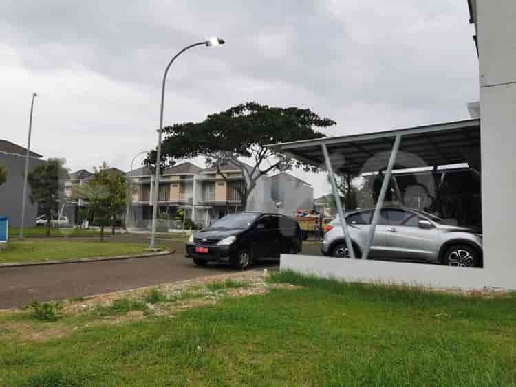
Available units in Cakung Timur


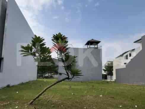
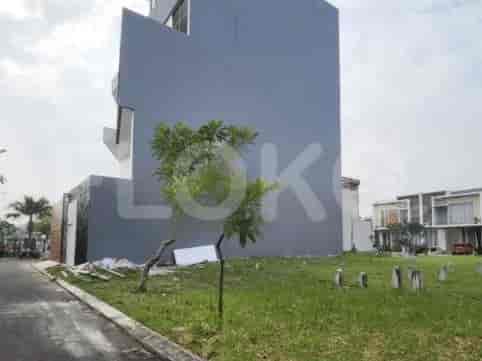
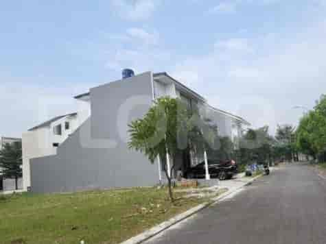
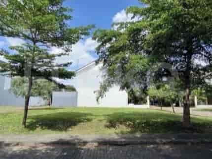


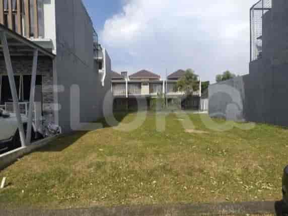
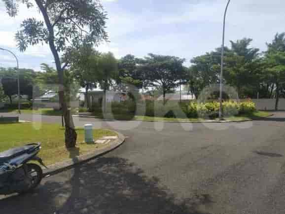
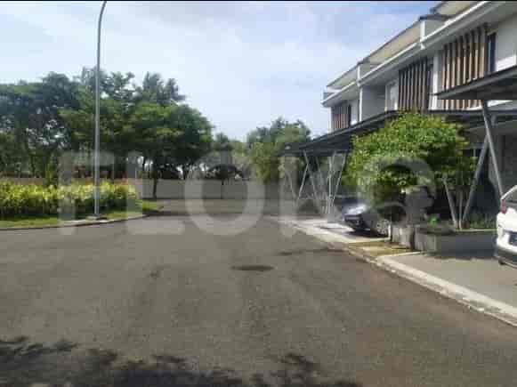
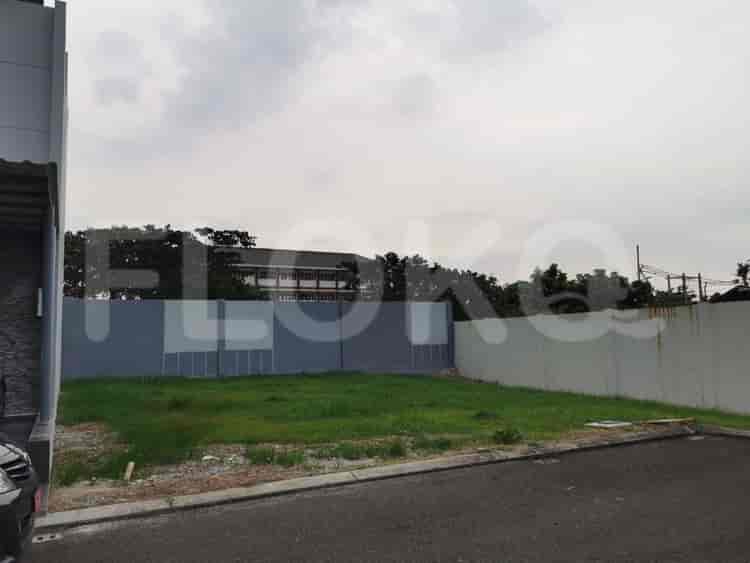



Nearby Facilities and Services - Cakung Timur
Kirana Two Office TowerPulo Gadung Industrial EstateKharisma BuildingThe Premiere CorporationGraha ReksoWalikota Jakarta Timur Office Area Proximity
Sentra Timur ResidenceSedayu City ApartmentEast Park ApartmentGading Nias ApartmentOak Tower ApartmentThe Summit Apartment
Bundaran HI MRT StationDukuh Atas MRT StationSetiabudi Astra Station MRT StationBendungan Hilir MRT StationSenayan Station MRT StationIstora Mandiri MRT Station
Cakung Timur 01 State Elementary SchoolSMAN 89 JakartaUjung Menteng 01 Public Elementary SchoolAl-Hamid Islamic Junior High SchoolSDN Cakung Barat 03 PagiSDN Cakung Barat 01 Pagi
Esa Unggul UniversityBinus University (Bekasi Campus)Jakarta State UniversityTri BhaktiUniversitas YARSIBorobudur University
Cakung StationBuaran StationKlender StationBekasi StationJatinegara Train StationBekasi Timur Station
Cakung Regional General HospitalEka Hospital Kota Harapan IndahResti Mulya Mother and Child HospitalFirdaus HospitalGading Pluit HospitalAnanda Hospital Bekasi
Ministry of Finance of the Republic of IndonesiaEmbassy of Brunei DarussalamMinistry of Foreign Affairs of the Republic of IndonesiaMinistry of Trade The Apostolic Nunciature to IndonesiaEmbassy of Slovakia
Cakung Drain AreaRPTRA (Ruang Publik Terpadu Ramah Anak) Sunter AgungPulo Gadung Park (sometimes referenced loosely for East Jatinegara proximity)Taman Harapan BaruTaman Jogging Kelapa GadingMalaka Sari Park
Cakung Terminal Bus TerminalTambun Rengas Bus Stop TransJakarta StationJalan Raya Cikarang-Ujung Menteng Stop TransJakarta StationHarapan Indah Bus Stop TransJakarta StationHarapan Indah Bus Stop TransJakarta StationPerumahan Harapan Indah Stop TransJakarta Station
Cakung Timur Toll GateCakung Toll GateCakung Barat Toll GateBabelan Toll Gate (via access road/short distance)Medan Satria Toll GatePulo Gebang Toll Gate
Cakung Sports CenterJati Bening Sports HallBekasi Sports CenterPulo Gadung Sports HallSunter Aquatic CenterGading Raya Sports Hall
Bekasi Convention CenterGrand Galaxy Convention CenterJIExpo KemayoranJakarta International ExpoJIExpo KemayoranJakarta International Expo Kemayoran
Giant Hypermarket CakungSuper Indo ExpressGrandLucky SupermarketTransmartTransmartGiant Ekspres Penggilingan
Cakung Timur MarketUjung Menteng MarketUjung Menteng MarketPasar Ujung MentengCakung MarketPulo Gebang Market
See Similar Subdistricts
Sitemap
Index of Apartments for Rent in ProvinceIndex of Apartments for Rent in CityIndex of Apartments for Rent in DistrictIndex of Apartments for Rent in LocalityIndex of Apartments for Rent in AreaIndex of Apartments for RentIndex of Apartments for Rent Near AttractionsIndex of Apartments for Rent by Type Filter
Index of Apartments for Sale in ProvinceIndex of Apartments for Sale in CityIndex of Apartments for Sale in DistrictIndex of Apartments for Sale in LocalityIndex of Apartments for Sale in AreaIndex of Apartments for SaleIndex of Apartments for Sale Near AttractionsIndex of Apartments for Sale by Type Filter
Index of Office BuildingIndex of ProvinceIndex of CityIndex of DistrictIndex of SubdistrictIndex of MallIndex of Mrt StationIndex of SchoolIndex of Train StationIndex of AirportIndex of Embassy And Government OfficeIndex of UniversityIndex of Residential BuildingIndex of HospitalIndex of ParkIndex of Bus StopIndex of Toll GateIndex of Sports Complex StadiumIndex of Convention Exhibition CenterIndex of Supermarket HypermarketIndex of Traditional MarketIndex of Fnb Cluster Lifestyle StreetIndex of Place Of WorshipIndex of Civic Landmark Cultural Icon