Pondok Ranggon: A Subdistrict in East Jakarta
Pondok Ranggon is a subdistrict located within the Cipayung district of East Jakarta, Indonesia, forming part of the larger Jabodetabek metropolitan area. It is situated at an elevation ranging from 55 to 91 meters above sea level, making it one of the higher elevated areas in DKI Jakarta. The name 'Pondok Ranggon' is derived from a local Sundanese tale involving an elderly couple residing in a 'pondok' (hut) and referred to as 'Ranggon'.
Key Highlights
- Pondok Ranggon covers an area of approximately 3.66 km² (366.015 hectares).
- The subdistrict has a population of 32,110 residents. Other sources indicate a population of 28,993 or 30,260 residents.
- Pondok Ranggon is one of eight kelurahans within the Cipayung district.
- It holds strategic importance due to its direct connection to alternative transit routes from Cileungsi (Jonggol), Kranggan (Bekasi), and Harjamukti (Depok).
- The median price for houses in Pondok Ranggon remained stable in June 2025.
- Pondok Ranggon is home to the extensive TPU Pondok Ranggon, a public cemetery spanning 70 hectares.
- The area includes the highest point in DKI Jakarta, at 91 meters above sea level, located in the Buperta Cibubur area.
Location & Connectivity
Pondok Ranggon is bordered by Mabes TNI/Cilangkap to the North, Cilangkap/Munjul to the West, Jati Raden/Kali Sunter to the East, and Harjamukti (Depok) to the South. The subdistrict's location provides direct access to alternative routes connecting to Cileungsi (Jonggol), Kranggan (Bekasi), and Harjamukti (Depok). Public transportation options include bus lines such as 121, 121A, K06, K44, T05, JAK98, and T15, with several bus stops accessible within a few minutes' walk.
Relevance
Pondok Ranggon serves as a residential subdistrict within East Jakarta, contributing to the urban fabric of the Jabodetabek region. Its strategic location facilitates connectivity between Jakarta and surrounding areas like Cileungsi, Kranggan, and Depok. The presence of a large public cemetery, TPU Pondok Ranggon, indicates its role as a significant public facility for the wider Jakarta area. Real estate trends in Pondok Ranggon have shown stable property prices, aligning with the general stability observed in Indonesia's residential property market.
Nearby
Pondok Ranggon is part of the Cipayung district, which also includes other kelurahans like Bambu Apus, Ceger, Cilangkap, Cipayung, Lubang Buaya, Munjul, and Setu. Notable nearby areas include Mabes TNI and the border with Depok, specifically Kelurahan Harjamukti. The Cibubur area, known for its strategic location and as an extension of the Jonggol plain, is also in proximity. Harjamukti LRT Station is located approximately 2 km southwest of TPU Pondok Ranggon.
Data Table
| Category | Data Point |
|---|---|
| Total Area | 3.66 km² (366.015 hectares) |
| Population | 32,110 (as per one source) |
| District | Cipayung |
| City | East Jakarta |
| Province | Jakarta |
| Elevation | 55 - 91 meters dpl |
Available units in Pondok Ranggon
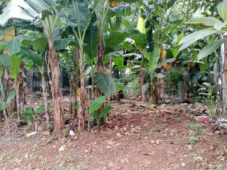
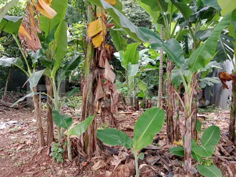
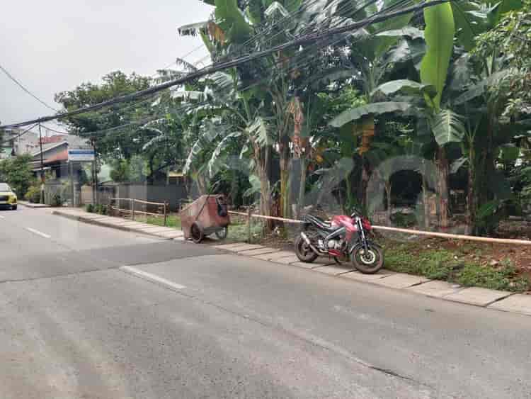
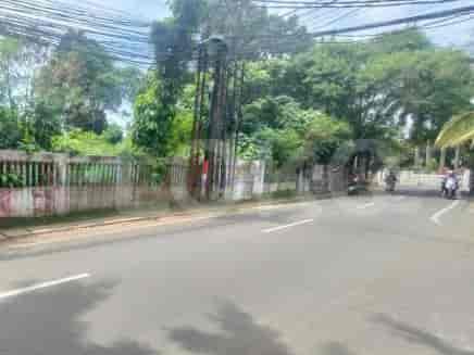
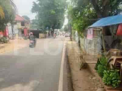
Nearby Facilities and Services - Pondok Ranggon
Transpark Cibubur Office TowerMandiri TowerPusat Bisnis DepokPesona Square Office TowerPodomoro Golf View OfficeMargo City Office Tower
Transpark Cibubur ApartmentSakura Garden CityPodomoro Golf View ApartmentMargonda ResidenceEvenciio ApartmentApartemen Taman Melati Margonda
Fatmawati MRT StationCipete Raya MRT StationHaji Nawi MRT StationLebak Bulus MRT StationBlok A MRT StationBlok M MRT Station
SDN Pondok Ranggon 05 PagiSDN Pondok Ranggon 02 PagiSDN Pondok Ranggon 03 PagiState Junior High School 230 JakartaSDN Jatisampurna 3Pondok Pesantren Al-Hamid
Universitas Mercu Buana Cileungsi CampusParamadina UniversityUniversitas Islam Internasional IndonesiaKusuma Negara College of EconomicsPancasila UniversityPancasila University
Universitas Indonesia StationLenteng Agung StationTanjung Barat StationPasar Minggu StationPasar Minggu Baru StationDuren Kalibata Station
Jatisampurna HospitalPermata Cibubur HospitalMitra Keluarga Cibubur HospitalMeilia Hospital CibuburCipayung Regional General HospitalOMNI Hospitals Pekayon
Ministry of AgricultureMinistry of Maritime Affairs and FisheriesRoyal Embassy of CambodiaEmbassy of the People's Republic of BangladeshEmbassy of AustraliaBritish Embassy Jakarta
Taman Bunga MerdekaJatisampurna City ParkTaman Wiladatika CibuburTaman Hijau CiracasTaman Metropolitan CibuburBambu Apus Park
Pondok Ranggon Bus Stop TransJakarta StationKranggan Bus Stop TransJakarta StationCibubur Junction Bus Stop (Near Cipayung Border) TransJakarta StationJatisampurna Bus Stop TransJakarta StationCibubur Bus Stop TransJakarta StationGang Haji Ali Bus Stop TransJakarta Station
Cibubur Junction Toll GateCibubur Junction Toll GateJatisampurna Gate Toll StationJati Sampurna Toll GateToll Gate Towards JagorawiCibubur Toll Gate (Cipayung Access)
Cibubur Junction Sports CenterJababeka Golf & Country Club (Though slightly outside the core, often referenced)Cipayung Sports HallIndoor Badminton Hall CiracasStadion Mini CijantungDepok 2 Sports Field
Grand Galaxy Convention CenterBekasi Convention CenterBalai KartiniSavana Convention HallJCC SenayanJakarta Convention Center
Pondok Ranggon MarketCibubur Junction Market AreaHarjamukti MarketManjok MarketCipayung MarketBambu Apus Market
See Similar Subdistricts
Sitemap
Index of Apartments for Rent in ProvinceIndex of Apartments for Rent in CityIndex of Apartments for Rent in DistrictIndex of Apartments for Rent in LocalityIndex of Apartments for Rent in AreaIndex of Apartments for RentIndex of Apartments for Rent Near AttractionsIndex of Apartments for Rent by Type Filter
Index of Apartments for Sale in ProvinceIndex of Apartments for Sale in CityIndex of Apartments for Sale in DistrictIndex of Apartments for Sale in LocalityIndex of Apartments for Sale in AreaIndex of Apartments for SaleIndex of Apartments for Sale Near AttractionsIndex of Apartments for Sale by Type Filter
Index of Office BuildingIndex of ProvinceIndex of CityIndex of DistrictIndex of SubdistrictIndex of MallIndex of Mrt StationIndex of SchoolIndex of Train StationIndex of AirportIndex of Embassy And Government OfficeIndex of UniversityIndex of Residential BuildingIndex of HospitalIndex of ParkIndex of Bus StopIndex of Toll GateIndex of Sports Complex StadiumIndex of Convention Exhibition CenterIndex of Supermarket HypermarketIndex of Traditional MarketIndex of Fnb Cluster Lifestyle StreetIndex of Place Of WorshipIndex of Civic Landmark Cultural Icon