Dukuh: A Subdistrict in Kramat Jati, East Jakarta
Dukuh is one of seven kelurahans (urban villages) within the Kramat Jati district of East Jakarta, geographically situated in the eastern part of DKI Jakarta Province. This subdistrict is recognized for its urban characteristics and its role within the larger Jabodetabek region.
Key Highlights
- Dukuh has a total area of 1.9809 km² (198.09 hectares).
- As of the 2010 Census, Dukuh had a population of 26,824.
- The population density in Dukuh was 15,825 people per km² in 2010.
- Dukuh is bordered by Kramat Jati to the north, Tengah to the west, Pinang Ranti to the east, and Rambutan to the south.
- The subdistrict is structured into 6 Rukun Warga (RW) and 66 Rukun Tetangga (RT).
- Dukuh's postal code is 13550.
- Portions of Dukuh, particularly the Dukuh Atas area, are part of Jakarta's Transit-Oriented Development (TOD) initiatives.
Location & Connectivity
Dukuh, located in East Jakarta, benefits from its position within the expansive Jabodetabek region. The area's connectivity is supported by its proximity to major roads and various public transportation options. The Dukuh Atas area, while not directly within the Dukuh subdistrict itself, is a significant transit hub in Jakarta, connecting multiple public transport modes including MRT, Transjakarta BRT, airport train, commuter line, and LRT. This emphasis on integrated transit enhances accessibility for residents within the broader Jakarta area. Pedestrian facilities, bicycle facilities, and public spaces are being developed to improve walkability and intermodal connections.
Relevance
Dukuh plays a role in Jakarta's urban fabric as a residential subdistrict within Kramat Jati. Its inclusion in East Jakarta, a region experiencing shifts in apartment supply away from the CBD, highlights its evolving urban relevance. The broader concept of Transit-Oriented Development (TOD), which includes areas like Dukuh Atas, aims to integrate various public transport modes to create more efficient and connected urban spaces, influencing surrounding areas like Dukuh by improving accessibility and potentially shaping future development.
Nearby
Dukuh is located within the Kramat Jati district. Neighboring kelurahans include Kramat Jati to the north, Tengah to the west, Pinang Ranti to the east, and Rambutan to the south. The prominent transit hub of Dukuh Atas, while a distinct locality, is a notable point of interest within Jakarta, connecting various parts of the city.
Data Table
| Category | Data |
|---|---|
| POI Type | Subdistrict (Kelurahan) |
| Region | Jabodetabek, Indonesia |
| City | East Jakarta |
| District (Kecamatan) | Kramat Jati |
| Total Area (2010) | 1.9809 km² (198.09 hectares) |
| Population (2010 Census) | 26,824 |
| Population Density (2010) | 15,825/km² |
| Number of Rukun Warga (RW) | 6 |
| Number of Rukun Tetangga (RT) | 66 |
| Postal Code | 13550 |
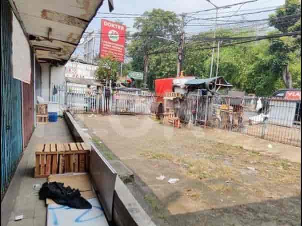
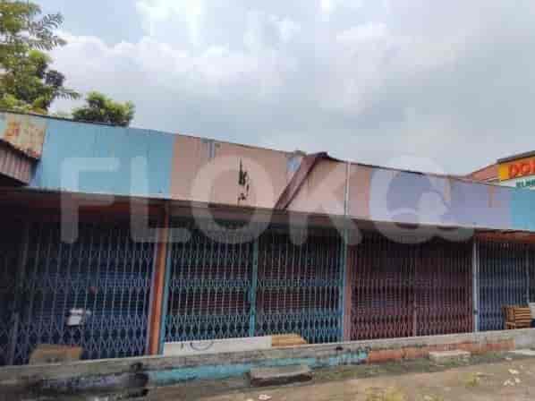
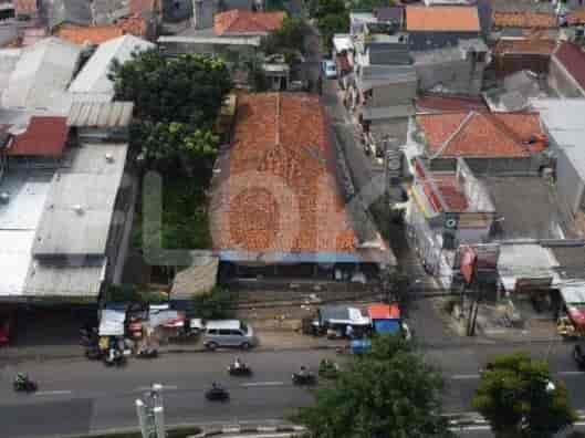
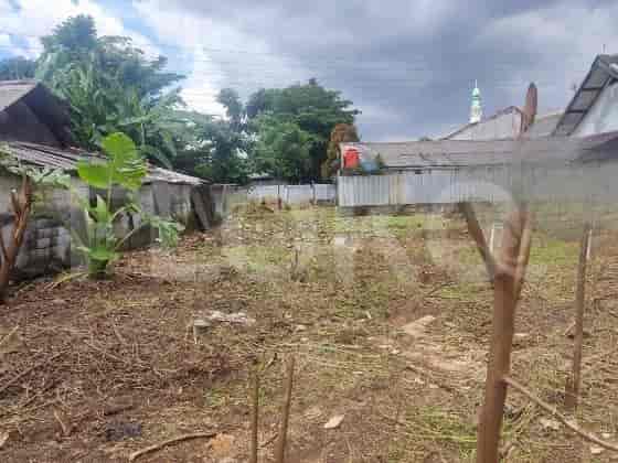
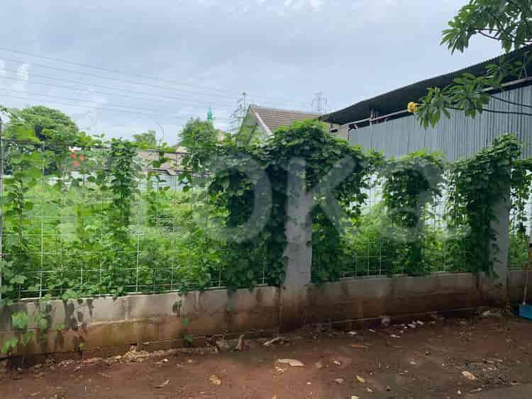
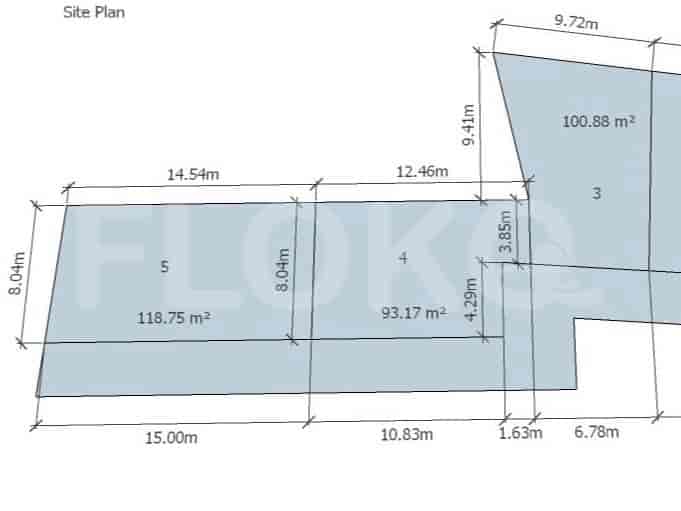
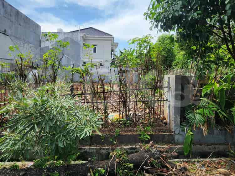
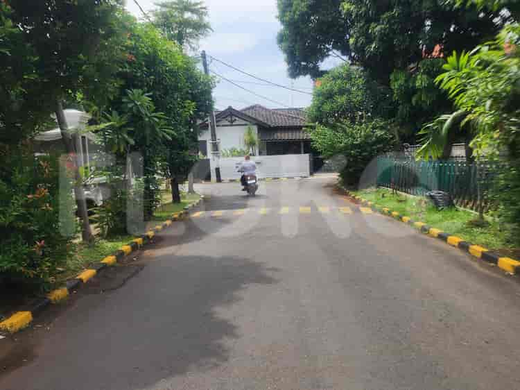
Available units in Dukuh






Nearby Facilities and Services - Dukuh
Graha IntirubArkadia Green ParkTamansari Hive Office TowerGraha Inti FauziRajawali TowerGraha Menara Hijau
Sakura Garden CitySouthgate ResidenceKebagusan City ApartmentWoodland Park Residence KalibataKalibata City ApartmentNifarro Park
Tamini SquareLippo Plaza Kramat JatiPusat Grosir CililitanPlaza KalibataCibubur SquareKalibata City Square
Cipete Raya MRT StationFatmawati MRT StationHaji Nawi MRT StationBlok A MRT StationBlok M MRT StationSenayan Station MRT Station
Madrasah Aliyah Negeri 10 JakartaDukuh 3 Public Elementary SchoolSDN Pinang Ranti 02 PagiSDN Pinang Ranti 03 PagiSDN Pinang Ranti 07 PagiSDN Pinang Ranti 04 Pagi
Kusuma Negara College of EconomicsIBLAM School of LawParamadina UniversityTama Jagakarsa UniversityUniversitas NasionalMercu Buana University Jatiwaringin Campus
Pasar Minggu StationTanjung Barat StationPasar Minggu Baru StationDuren Kalibata StationLenteng Agung StationCawang Station
Ridwan Meuraksa HospitalCiracas Regional General HospitalPasar Rebo Regional General HospitalAdhyaksa HospitalCijantung Kesdam Jaya HospitalCipayung Regional General Hospital
Royal Embassy of CambodiaMinistry of AgricultureEmbassy of the People's Republic of BangladeshEmbassy of AustraliaBritish Embassy JakartaRoyal Netherlands Embassy
Taman Mini Indonesia IndahBambu Apus ParkKramat Jati ParkMelati Asri ParkJatiwaringin ParkTaman Bunga Cijantung (Local Park)
TMII Bus Stop TransJakarta StationGang Damai Stop TransJakarta StationTaman Mini TransJakarta StationBrimob Bus Stop TransJakarta StationTaman Mini Indonesia Indah (TMII) Bus Stop TransJakarta StationKampung Rambutan Terminal Bus Terminal
Indoor Badminton Hall CiracasCipayung Sports HallJalan Lintas Raya Sports HallPuspor Halim Perdanakusuma Sports Center (Near Depok Border)Jakarta International StadiumStadion Mini Cijantung
Balai KartiniGrand Galaxy Convention CenterJCC SenayanJakarta Convention CenterKartini Exhibition HallBekasi Convention Center
Super IndoTransmart Taman Mini (Technically East Jakarta but often referenced for nearby areas in North/East border)Super IndoSuper IndoSuper IndoSuper Indo
Pasar Induk Kramat Jati (Indirect Reference)Pondok Gede Market AreaRambutan MarketPondok Gede MarketCiracas MarketCeger Market
See Similar Subdistricts
Sitemap
Index of Apartments for Rent in ProvinceIndex of Apartments for Rent in CityIndex of Apartments for Rent in DistrictIndex of Apartments for Rent in LocalityIndex of Apartments for Rent in AreaIndex of Apartments for RentIndex of Apartments for Rent Near AttractionsIndex of Apartments for Rent by Type Filter
Index of Apartments for Sale in ProvinceIndex of Apartments for Sale in CityIndex of Apartments for Sale in DistrictIndex of Apartments for Sale in LocalityIndex of Apartments for Sale in AreaIndex of Apartments for SaleIndex of Apartments for Sale Near AttractionsIndex of Apartments for Sale by Type Filter
Index of Office BuildingIndex of ProvinceIndex of CityIndex of DistrictIndex of SubdistrictIndex of MallIndex of Mrt StationIndex of SchoolIndex of Train StationIndex of AirportIndex of Embassy And Government OfficeIndex of UniversityIndex of Residential BuildingIndex of HospitalIndex of ParkIndex of Bus StopIndex of Toll GateIndex of Sports Complex StadiumIndex of Convention Exhibition CenterIndex of Supermarket HypermarketIndex of Traditional MarketIndex of Fnb Cluster Lifestyle StreetIndex of Place Of WorshipIndex of Civic Landmark Cultural Icon