Utan Kayu Utara: A Subdistrict in East Jakarta
Utan Kayu Utara is a subdistrict located within the Matraman district of East Jakarta, part of the larger Jabodetabek region in Indonesia. It serves as a residential and local commercial hub, characterized by its urban infrastructure and connectivity within the East Jakarta area.
Available units in Utan Kayu Utara


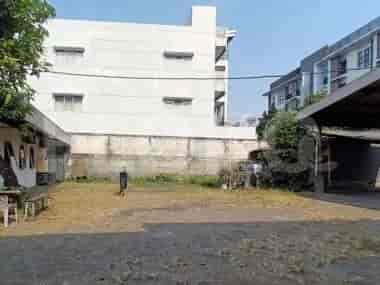
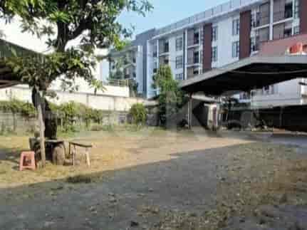
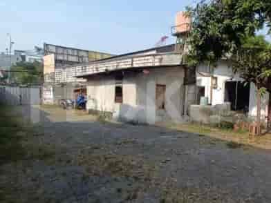


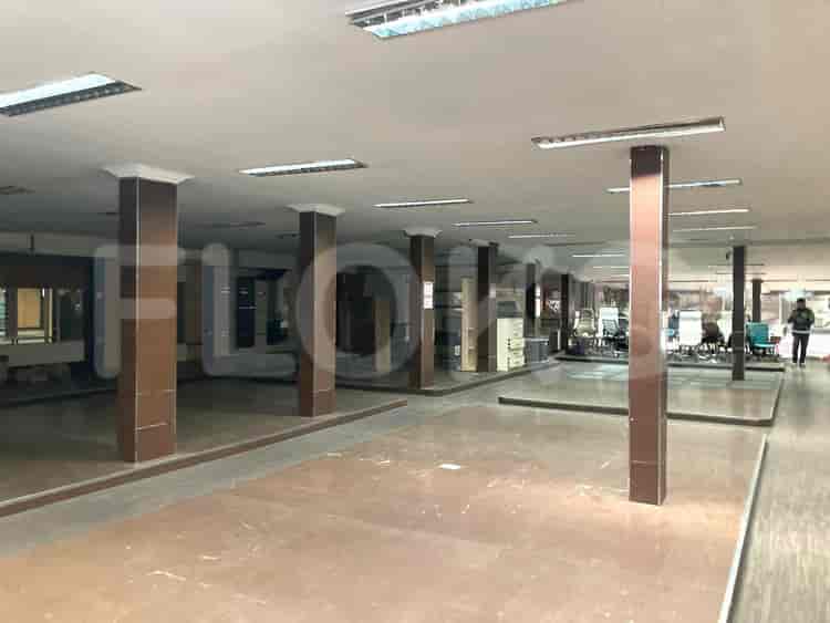







Key Highlights
- Utan Kayu Utara spans an area of approximately 1.074 km² (107.4 hectares).
- As of the 2010 census, the subdistrict had a population of 24,820 inhabitants.
- The population density in 2010 was approximately 24,405 inhabitants per km².
- It is administratively divided into 10 Rukun Warga (RW) and 132 Rukun Tetangga (RT).
- The subdistrict is home to several educational institutions, including SMK Negeri 40 Jakarta, SMP Negeri 7 Jakarta, and multiple elementary schools.
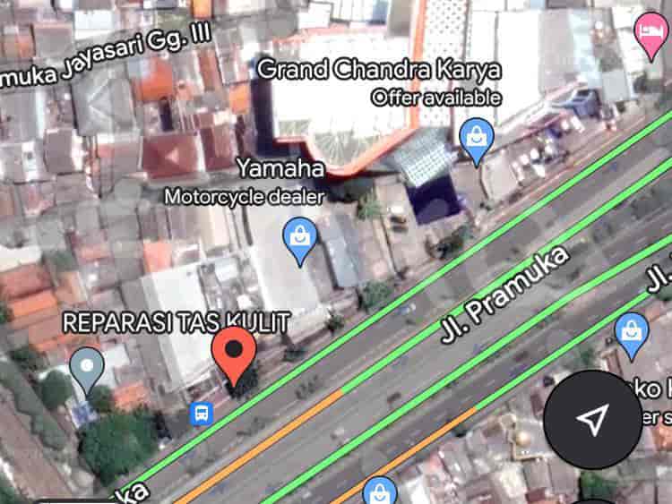
- Utan Kayu Utara features a TransJakarta bus stop on Corridor 4, providing public transportation access.
- The Utan Kayu Utara RPTRA (Child-Friendly Public Open Space) is a public facility frequented by 100-200 visitors daily.
Location & Connectivity
Utan Kayu Utara is situated in East Jakarta and is well-connected by major roads. It is bordered by Rawasari and Cempaka Putih (Central Jakarta) to the north, Pegangsaan and Menteng (Central Jakarta) to the west, Rawamangun and Pulo Gadung (East Jakarta) to the east, and Kayu Manis and Utan Kayu Selatan (Matraman, East Jakarta) to the south. The subdistrict has access to public transportation, including several bus routes (e.g., M35, JAK23, TRANSJABODETABEK SENEN - CIAWI) and the KRL Commuterline's Cikarang Loop Line. The TransJakarta Corridor 4, serving the Pulo Gadung to Galunggung route, has a dedicated bus stop in Utan Kayu Utara.
Relevance
Utan Kayu Utara functions as an established residential area within East Jakarta, contributing to the urban fabric of Jabodetabek. Its infrastructure, including educational facilities and public open spaces like the RPTRA, supports the daily lives of its residents. The subdistrict's connectivity to various parts of Jakarta through public transport lines enhances its role as a accessible urban locality.
Nearby
Notable nearby areas include the districts of Matraman and Pulo Gadung in East Jakarta, and parts of Central Jakarta such as Menteng and Cempaka Putih. Jatinegara and Kramat railway stations are also in the vicinity, serving as key transit nodes. The TransJakarta Utan Kayu stop is a significant public transport point in the area.
Data Table
| Category | Data Point |
|---|---|
| Total Area | 1.074 km² (107.4 hectares) |
| Population (2010) | 24,820 |
| Population Density (2010) | 24,405 inhabitants/km² |
| Number of RW | 10 |
| Number of RT | 132 |
Places near Utan Kayu Utara
See Similar Subdistricts
Explore property directories
Index of Apartments for Rent in ProvinceIndex of Apartments for Rent in CityIndex of Apartments for Rent in DistrictIndex of Apartments for Rent in LocalityIndex of Apartments for Rent in AreaIndex of Apartments for RentIndex of Apartments for Rent Near AttractionsIndex of Apartments for Rent by Type Filter
Index of Apartments for Sale in ProvinceIndex of Apartments for Sale in CityIndex of Apartments for Sale in DistrictIndex of Apartments for Sale in LocalityIndex of Apartments for Sale in AreaIndex of Apartments for SaleIndex of Apartments for Sale Near AttractionsIndex of Apartments for Sale by Type Filter
Index of Office BuildingIndex of ProvinceIndex of CityIndex of DistrictIndex of SubdistrictIndex of MallIndex of Mrt StationIndex of SchoolIndex of Train StationIndex of AirportIndex of Embassy And Government OfficeIndex of UniversityIndex of Residential BuildingIndex of HospitalIndex of ParkIndex of Bus StopIndex of Toll GateIndex of Sports Complex StadiumIndex of Convention Exhibition CenterIndex of Supermarket HypermarketIndex of Traditional MarketIndex of Fnb Cluster Lifestyle StreetIndex of Place Of WorshipIndex of Civic Landmark Cultural Icon