Kalisari: A Subdistrict in East Jakarta
Kalisari is a subdistrict (kelurahan) located within the Pasar Rebo district of East Jakarta, part of the larger Jabodetabek region in Indonesia. Originally a kampung (village) known as Cijantung IV, Kalisari was officially established as a kelurahan on March 18, 1955, and underwent further administrative division in 1986.
Key Highlights
- Kalisari is part of the Pasar Rebo district in East Jakarta.
- The subdistrict has an area of 13.80 km².
- As of the 2010 Census, Kalisari had a population of 41,497.
- Kalisari is bordered by Kelurahan Baru and Cijantung to the north, Pekayon to the east, and Palsigunung (Depok) to the south.
- The western border of Kalisari is defined by the Ciliwung River, which separates it from the Lenteng Agung area of South Jakarta.
- Major roads traversing Kalisari include Jl. Kalisari Raya, Jl. Kalisari II, and Jl. Kalisari III.
- The subdistrict is served by public transportation, including bus lines JAK25 and T09.
- Real estate in Kalisari, East Jakarta, includes residential properties with various pricing ranges.
Location & Connectivity
Kalisari is strategically located within East Jakarta, offering connectivity through several key roads. Jl. Kalisari Raya, Jl. Kalisari II, and Jl. Kalisari III are prominent roads within the subdistrict. Public transportation access is available via bus lines such as JAK25 and T09, with bus stops like Jalan Batas II Baru providing connectivity.
Relevance
Kalisari functions as a residential hub within East Jakarta. Its development has seen improvements in infrastructure and public transportation networks since the early 1980s, contributing to its role as an urban area.
Nearby
Kalisari is surrounded by several notable areas and facilities. To its north are Kelurahan Baru and Cijantung, while Pekayon lies to its east. South of Kalisari is Palsigunung, which is part of Cimanggis, Depok. The Ciliwung River forms its western boundary, across from Lenteng Agung in South Jakarta. The area is also in proximity to the Jl. Raya Bogor. Educational facilities such as SMP/SLTP Negeri 179 Kalisari, SMP/SLTP Negeri 203 Kalisari, SMA Negeri 98 Kalisari, and SMA Negeri 88 Jakarta are located within the kelurahan.
Data Table
| Category | Detail |
|---|---|
| POI Type | Subdistrict (Kelurahan) |
| Region | Jabodetabek, Indonesia |
| City | East Jakarta |
| District (Kecamatan) | Pasar Rebo |
| Area | 13.80 km² |
| Population (2010 Census) | 41,497 |
| Kelurahans (post-1986 division) | Kalisari (induk), Pekayon, Kelapa Dua Wetan |
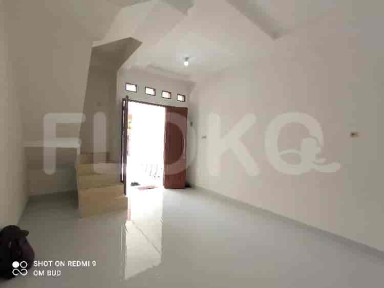
Available units in Kalisari




Nearby Facilities and Services - Kalisari
Pusat Bisnis DepokMargo City Office TowerArkadia Green ParkPesona Square Office TowerDmall Office TowerTranspark Cibubur Office Tower
Perumahan Lenteng Agung (Residential Cluster)Evenciio ApartmentApartemen Taman Melati MargondaMargonda ResidenceSouthgate ResidenceSakura Garden City
Fatmawati MRT StationCipete Raya MRT StationHaji Nawi MRT StationLebak Bulus MRT StationBlok A MRT StationBlok M MRT Station
SMPN 203 JakartaSDN Kalisari 01 PagiSDIT Insan CendekiaSTIKes Mitra KeluargaSMAN 98 JakartaSMP Negeri 179 Jakarta
Pancasila UniversityPancasila UniversityKusuma Negara College of EconomicsInstitut Ilmu Sosial dan Ilmu Politik JakartaUniversitas IndonesiaUniversity of Indonesia
Lenteng Agung StationUniversitas Indonesia StationTanjung Barat StationPasar Minggu StationPasar Minggu Baru StationDuren Kalibata Station
OMNI Hospitals PekayonHarapan Depok HospitalCijantung Kesdam Jaya HospitalSetya Bhakti Mother and Child HospitalBunda Margonda HospitalPasar Rebo Regional General Hospital
Ministry of AgricultureRoyal Embassy of CambodiaMinistry of Maritime Affairs and FisheriesEmbassy of the Republic of SurinameEmbassy of the Republic of Marshall IslandsEmbassy of the People's Republic of Bangladesh
Taman Bunga Cijantung (Local Park)Cimanggis Green ParkTaman Bunga Mekar SariTaman Metropolitan CibuburTaman Hijau CiracasKukusan Community Park
Pasar Rebo Bus Stop TransJakarta StationRSUD Stop TransJakarta StationPramuka Cijantung Bus Stop TransJakarta StationPasar Ciracas Bus Stop TransJakarta StationCimanggis Bus Stop TransJakarta StationLenteng Agung Station Bus Stop TransJakarta Station
Cijantung Toll GateCimanggis Toll Gate (Alternative reference)Lenteng Agung Toll GateCibubur Toll Gate (Cipayung Access)Ranco GateToll Gate Towards Jagorawi
Stadion Mini CijantungJababeka Golf & Country Club (Though slightly outside the core, often referenced)Universitas Indonesia Sports ArenaIndoor Badminton Hall CiracasPusat Olahraga Universitas Indonesia (Gelora UI)Cipayung Sports Hall
Balai KartiniJakarta Convention CenterJCC SenayanGrand Galaxy Convention CenterBintaro Jaya Xchange Convention Center (Often hosts sporting events)Kartini Exhibition Hall
Sitemap
Index of Apartments for Rent in ProvinceIndex of Apartments for Rent in CityIndex of Apartments for Rent in DistrictIndex of Apartments for Rent in LocalityIndex of Apartments for Rent in AreaIndex of Apartments for RentIndex of Apartments for Rent Near AttractionsIndex of Apartments for Rent by Type Filter
Index of Apartments for Sale in ProvinceIndex of Apartments for Sale in CityIndex of Apartments for Sale in DistrictIndex of Apartments for Sale in LocalityIndex of Apartments for Sale in AreaIndex of Apartments for SaleIndex of Apartments for Sale Near AttractionsIndex of Apartments for Sale by Type Filter
Index of Office BuildingIndex of ProvinceIndex of CityIndex of DistrictIndex of SubdistrictIndex of MallIndex of Mrt StationIndex of SchoolIndex of Train StationIndex of AirportIndex of Embassy And Government OfficeIndex of UniversityIndex of Residential BuildingIndex of HospitalIndex of ParkIndex of Bus StopIndex of Toll GateIndex of Sports Complex StadiumIndex of Convention Exhibition CenterIndex of Supermarket HypermarketIndex of Traditional MarketIndex of Fnb Cluster Lifestyle StreetIndex of Place Of WorshipIndex of Civic Landmark Cultural Icon