Pademangan Timur, North Jakarta
Pademangan Timur is one of three kelurahans (administrative villages) within the Pademangan district in North Jakarta, Jakarta, Indonesia. As a subdistrict, it forms an integral part of the larger urban fabric of Jabodetabek, specifically within the administrative city of North Jakarta. Its geographical location in a port-associated district highlights its historical and ongoing connection to maritime activities and urban development.
Key Highlights
- Pademangan Timur covers an area of approximately 2.61 km².
- As of 2020, the population of Pademangan Timur was 45,617 inhabitants.
- The population density in Pademangan Timur was 17,478 inhabitants/km² in 2020.
- It is bordered by railway lines to the north and west, and by rivers (Kali Sunter and Kali Mati) to the east and south.
- Pademangan Timur is part of the Pademangan district, which is geographically a plain with an average height of 75 centimeters above high tide sea level.
- The subdistrict is served by various public transportation options, including Transjakarta bus routes and the Tanjung Priok Line train.
Location & Connectivity
Pademangan Timur is situated in North Jakarta, bordering the Jakarta Kota-Tanjung Priok railway line to the north and the Kemayoran-Tanjung Priok railway line to the west. The Kali Sunter forms its eastern border, and Kali Mati defines its southern boundary. It benefits from public transportation access, with several Transjakarta bus routes (e.g., 14, U10, JAK118, M14) and the Tanjung Priok Line train passing through or near the area. Ancol railway station is approximately a 21-minute walk from Pademangan Timur. The road distance from Soekarno-Hatta Airport (CGK) to Pademangan Timur is 25.8 km.
Relevance
Pademangan Timur plays a role in the urban structure of North Jakarta as one of the administrative units within the port-associated district of Pademangan. Its historical development has been tied to port connectivity and industrial growth. While development in some areas of Pademangan district focuses on high-rise construction in easier-to-drain land, Pademangan Timur contributes to the partially green and tree-rich coastal prospect of the larger district. The subdistrict's residential areas contribute to the overall population density of North Jakarta. The area is a place where various ethnic groups and religions coexist.
Nearby
Pademangan Timur is located within the Pademangan district, which is bordered by Sunda Kelapa Harbor to the west, Kemayoran Railway to the south, and the Kali Ancol and Kali Japat canals to the east. Notable places in the broader Pademangan district include Ancol Taman Impian (Ancol Dreamland), Jakarta International Expo (JIExpo), and Sunda Kelapa Harbor. Other nearby areas include Mangga Dua, known for its shopping centers like Mangga Dua Square.
Data Table
| Attribute | Value |
|---|---|
| Total Area | 2.61 km² |
| Population (2020) | 45,617 |
| Population Density (2020) | 17,478 inhabitants/km² |
| Kelurahan Code | 14410 |
| City | North Jakarta |
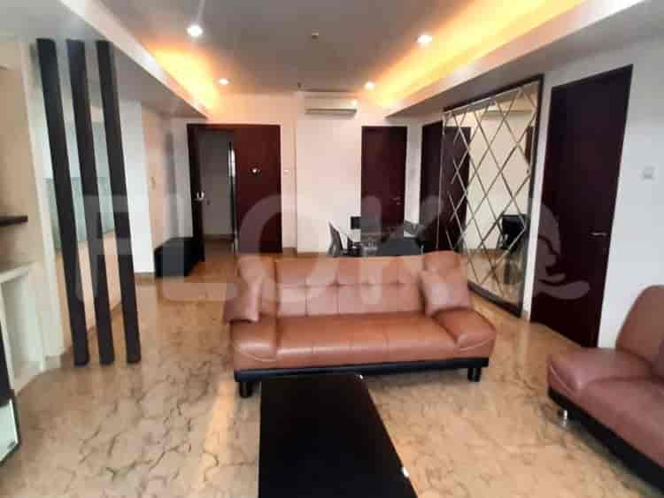
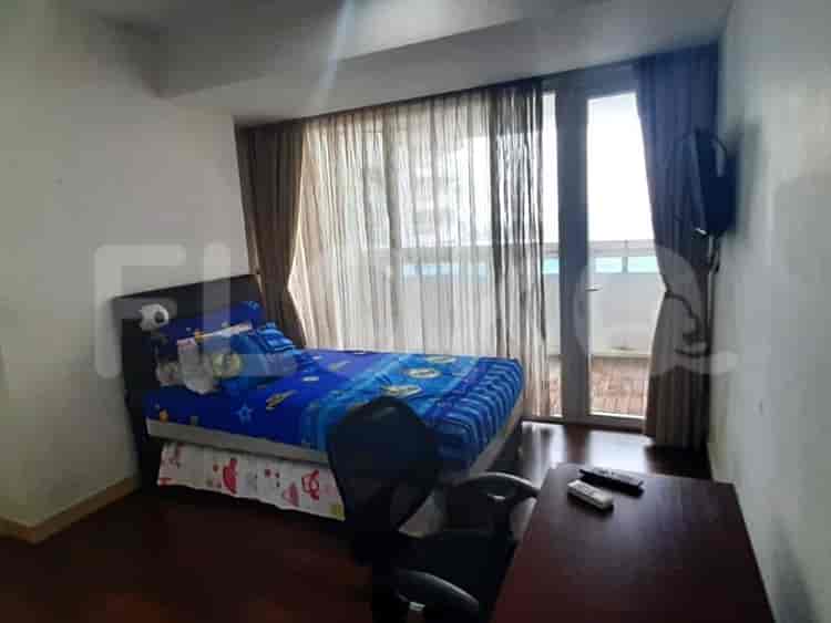
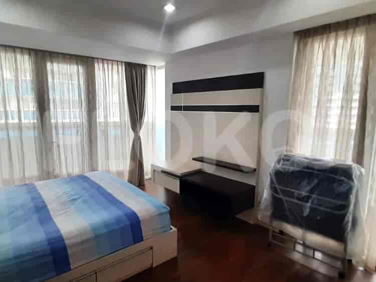
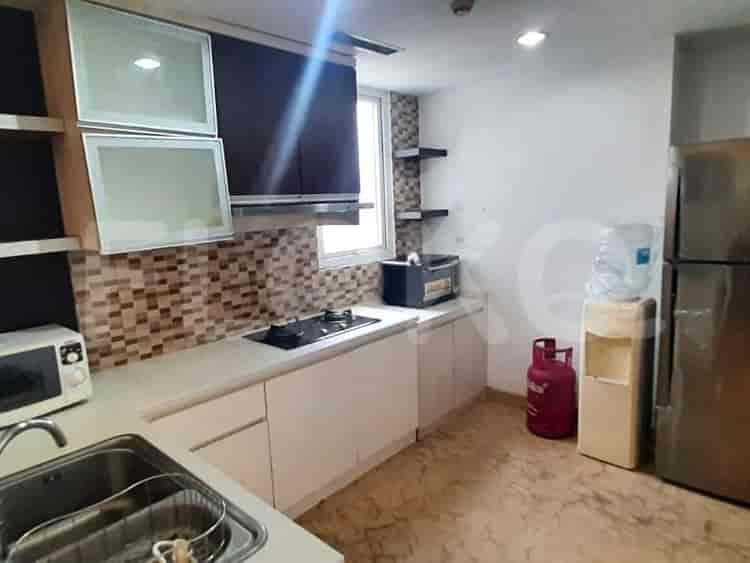
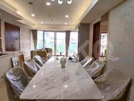
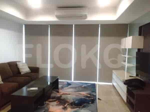
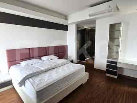
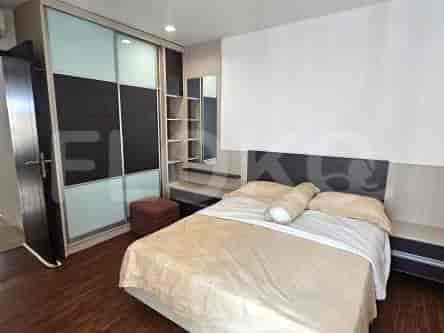
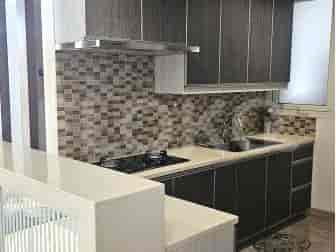
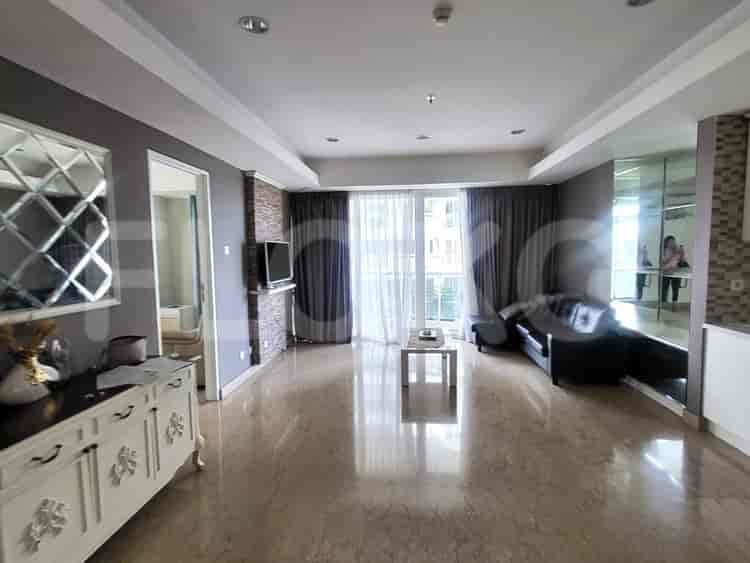
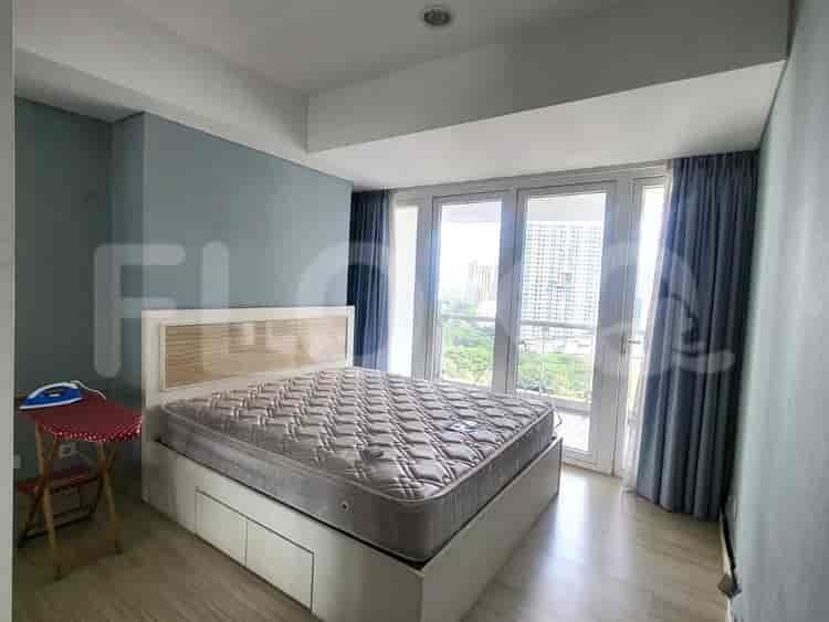
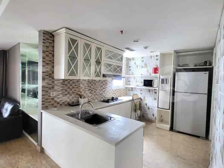
Available units in Pademangan Timur

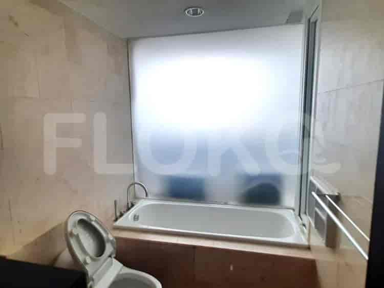
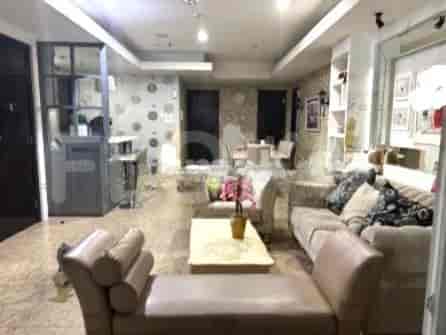

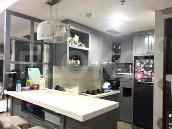

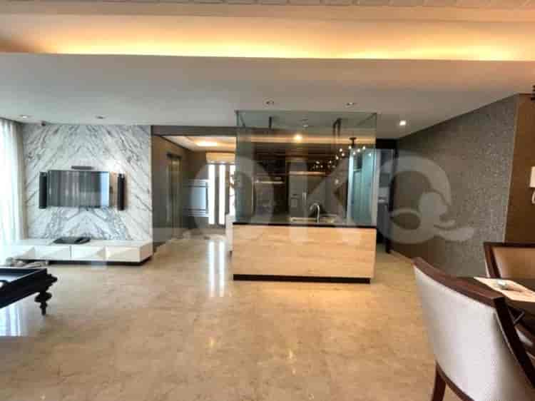

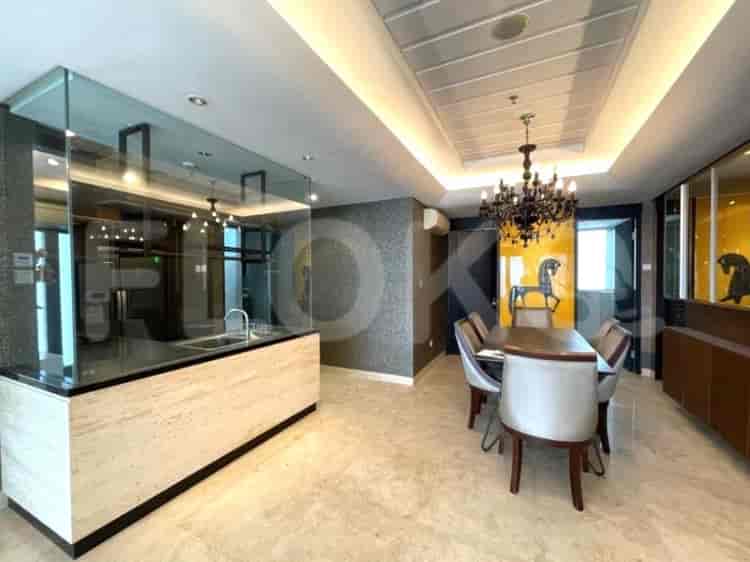
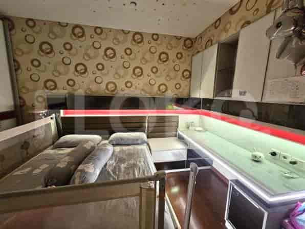
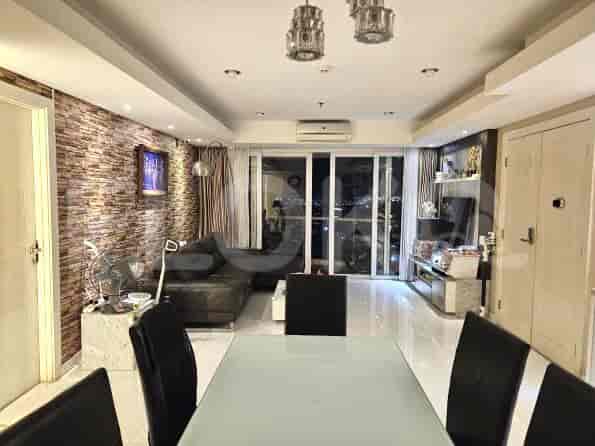

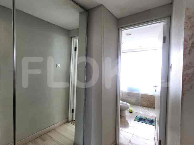
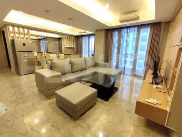
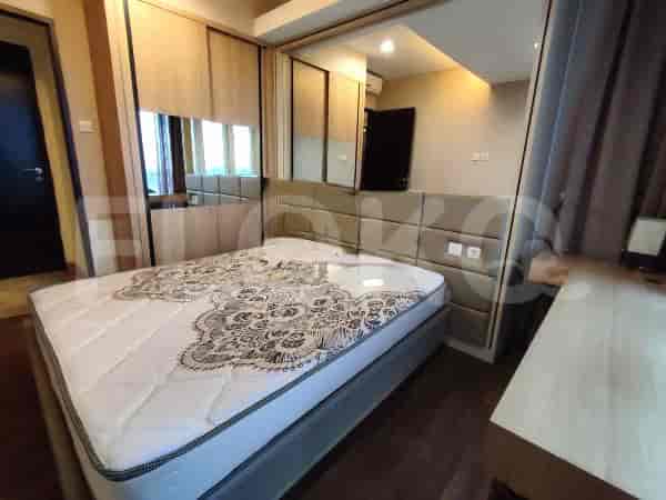
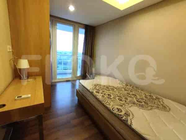
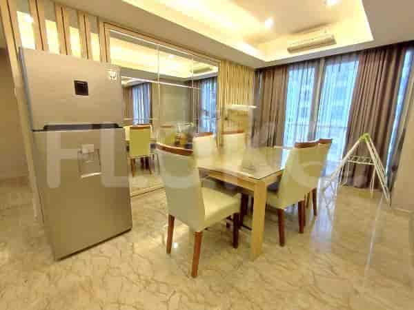
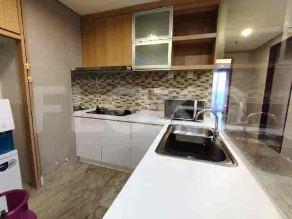



Nearby Facilities and Services - Pademangan Timur
Mangga Dua Square Office TowerHarco Mangga Dua Office TowerWisma Eka JiwaGedung JayakartaLindeteves Trade Center (LTC) GlodokGlodok Plaza
Royale Springhill ResidenceSpringhill Terrace ResidenceMenara Jakarta ApartmentThe Mansion KemayoranPuri Kemayoran ApartmentElpis Residence Apartment
Mall Mega Glodok Kemayoran (MGK)Golden Truly MallMangga Dua SquareSunter MallWTC Mangga DuaPasar Senen
Bundaran HI MRT StationDukuh Atas MRT StationSetiabudi Astra Station MRT StationBendungan Hilir MRT StationIstora Mandiri MRT StationSenayan Station MRT Station
Sekolah UniversalSekolah JubileeIPEKA Sunter Christian SchoolState Elementary School Kebon Kosong 06 MorningState Elementary School Kebon Kosong 08 MorningState Elementary School Kebon Kosong 12 Morning
University August 17, 1945Universitas YARSIBunda Mulia UniversityBunda Mulia UniversityInstitut Kesenian JakartaJakarta Institute of Arts
Rajawali StationKemayoran StationAncol StationMangga Besar StationSawah Besar StationKampung Bandan Station
Hermina Kemayoran HospitalMitra Kemayoran HospitalSunter Agung Regional General HospitalHermina Hospital PodomoroKemayoran Regional General HospitalSatya Negara Hospital
Ministry of Finance of the Republic of IndonesiaMinistry of Foreign Affairs of the Republic of IndonesiaMinistry of Internal Affairs of the Republic of IndonesiaMinistry of State SecretariatThe Apostolic Nunciature to IndonesiaMinistry of Trade
RPTRA Sunter MuaraRPTRA Sunter AgungTanjung Priok ParkRPTRA Sunter AgungJembatan Goyang Park AreaTaman Sawah Besar
JIExpo Kemayoran Bus StopJIExpo Kemayoran Gate 3 Bus StopRS Mitra Kemayoran Bus StopKemayoran Gempar Bus Stop TransJakarta StationJalan Trempedu Bus StopPerumahan Dwikora Bus Stop
Sunter Barat Toll GateKemayoran Toll GateKemayoran 1 Toll GateTanjung Priok Toll Gate (Exit/Entrance)Ancol Toll GateToll Gate Sunter (Often used by Kelapa Gading residents)
Pluit Futsal ArenaSunter Aquatic CenterKemayoran Sports ComplexKemayoran Sports ComplexKemayoran Sports ComplexSunter Sports Center
JIExpo KemayoranJakarta International Expo KemayoranJakarta International Expo (JIExpo) Hall D2 (often confused with sports complexes due to large event spaces)JIExpo KemayoranJIExpo Kemayoran (Jakarta International Expo)Jakarta International Expo
See Similar Subdistricts
Sitemap
Index of Apartments for Rent in ProvinceIndex of Apartments for Rent in CityIndex of Apartments for Rent in DistrictIndex of Apartments for Rent in LocalityIndex of Apartments for Rent in AreaIndex of Apartments for RentIndex of Apartments for Rent Near AttractionsIndex of Apartments for Rent by Type Filter
Index of Apartments for Sale in ProvinceIndex of Apartments for Sale in CityIndex of Apartments for Sale in DistrictIndex of Apartments for Sale in LocalityIndex of Apartments for Sale in AreaIndex of Apartments for SaleIndex of Apartments for Sale Near AttractionsIndex of Apartments for Sale by Type Filter
Index of Office BuildingIndex of ProvinceIndex of CityIndex of DistrictIndex of SubdistrictIndex of MallIndex of Mrt StationIndex of SchoolIndex of Train StationIndex of AirportIndex of Embassy And Government OfficeIndex of UniversityIndex of Residential BuildingIndex of HospitalIndex of ParkIndex of Bus StopIndex of Toll GateIndex of Sports Complex StadiumIndex of Convention Exhibition CenterIndex of Supermarket HypermarketIndex of Traditional MarketIndex of Fnb Cluster Lifestyle StreetIndex of Place Of WorshipIndex of Civic Landmark Cultural Icon