Cipete Utara, South Jakarta
Cipete Utara is a subdistrict located within the Kebayoran Baru district of South Jakarta, part of the larger Jabodetabek region in Indonesia. Traditionally inhabited by the Betawi community, Cipete Utara has evolved into a diverse area with migrants from various Indonesian regions and international residents.
Key Highlights
- Cipete Utara has a total area of 1.826 km² (182.60 hectares).
- As of 2010, the population of Cipete Utara was 38,224.
- The subdistrict is part of the Kebayoran Baru district, which contains 10 kelurahans.
- Key roads include Jalan Fatmawati Raya, Jalan Pangeran Antasari, and various Darmawangsa and Brawijaya streets.
- Cipete Utara is known for its culinary establishments and coffee shops.
Location & Connectivity
Cipete Utara is accessible via major roads such as Jalan Fatmawati Raya and Jalan Pangeran Antasari. The area is served by public transportation, including bus routes (e.g., S01, BUS SEKOLAH 14, JAK102) and MRT services, with Haji Nawi being a nearby MRT station. This connectivity facilitates movement to and from surrounding commercial and residential zones.
Relevance
Cipete Utara serves as a residential and commercial hub within South Jakarta, contributing to the urban fabric of Jabodetabek. Its array of culinary establishments and coffee shops signifies its role as a local lifestyle destination. The presence of both traditional Betawi culture and a growing expatriate population highlights its evolving urban character.
Nearby
Cipete Utara borders Cipete Selatan to the south. Notable nearby establishments include ITC Fatmawati and Lotte Mart Fatmawati. The subdistrict's road network includes Jalan Fatmawati Raya, Jalan Darmawangsa, Jalan Prapanca, and Jalan Brawijaya.
Data Table
| Statistic | Value | Year |
|---|---|---|
| Area | 1.826 km² | - |
| Population | 38,224 | 2010 |
| Postal Code | 12150 | - |
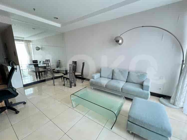
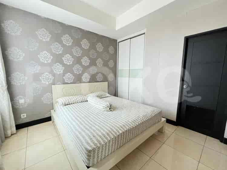
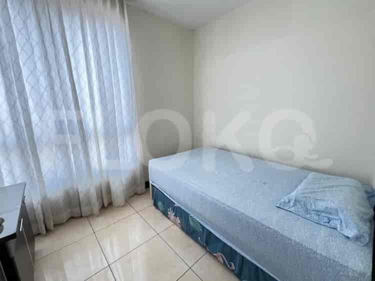
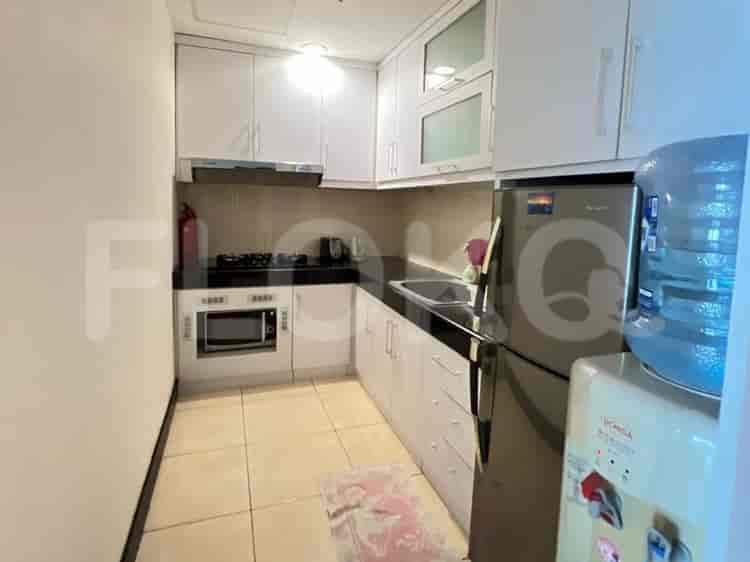
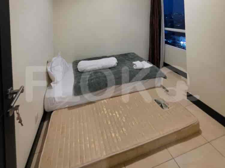
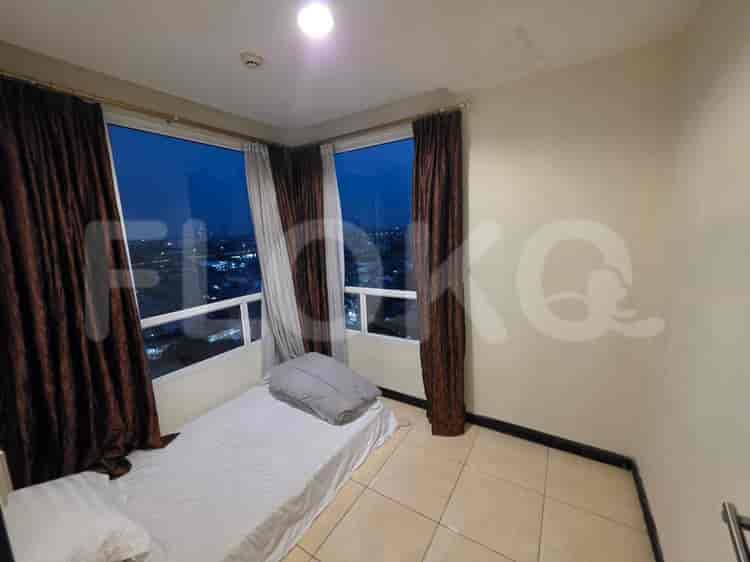
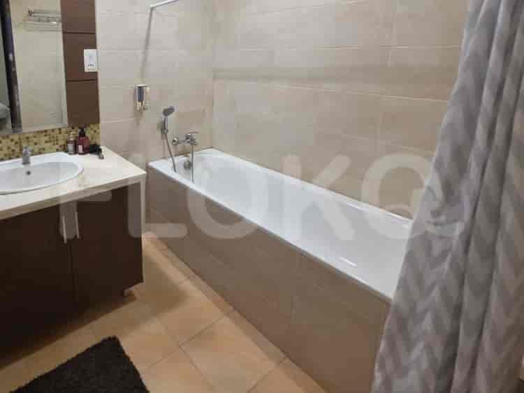
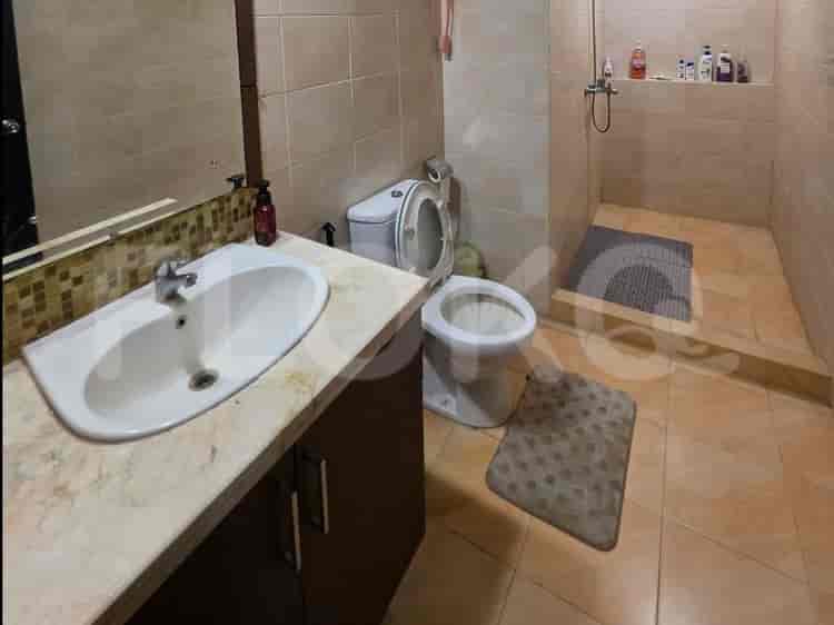
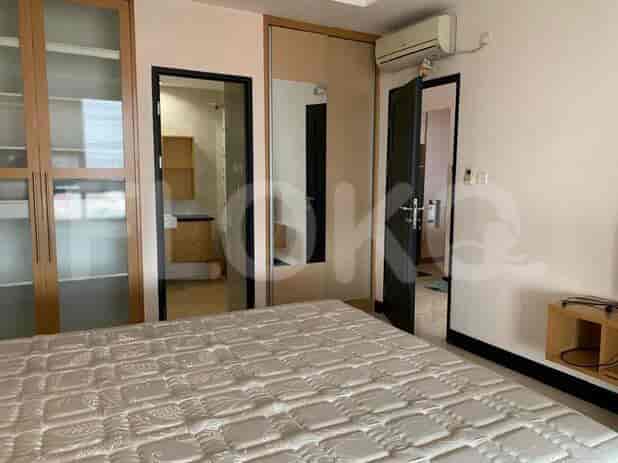
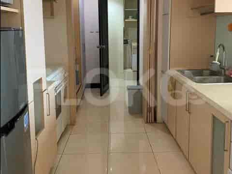
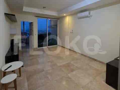
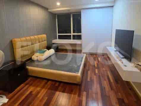
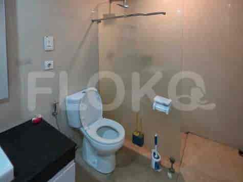
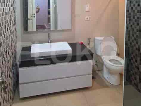
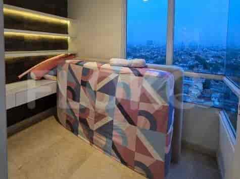
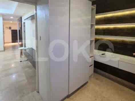
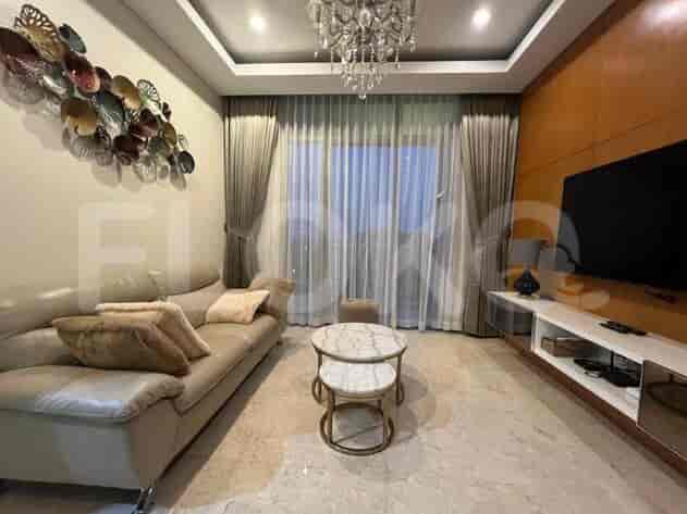
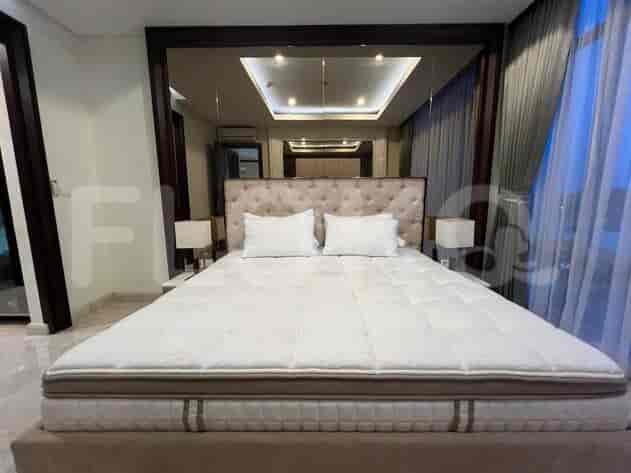
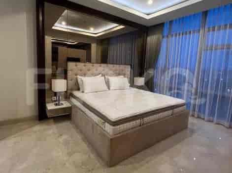
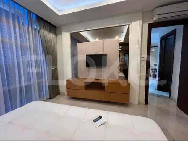
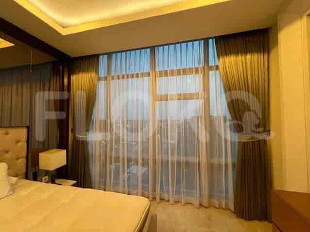
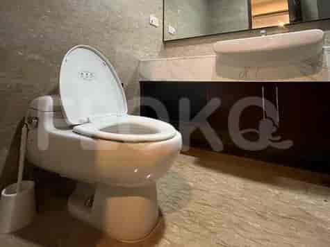
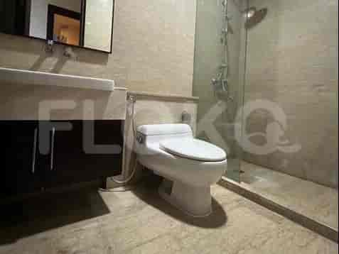
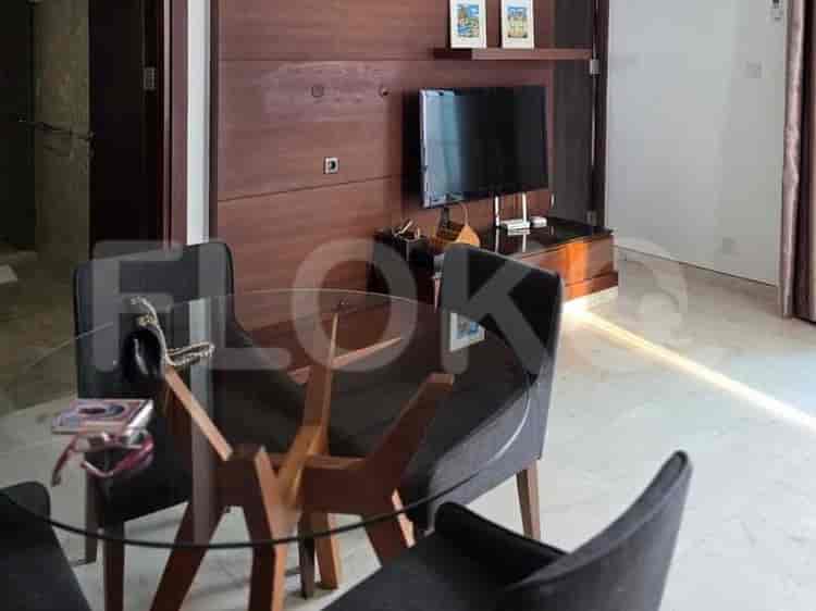
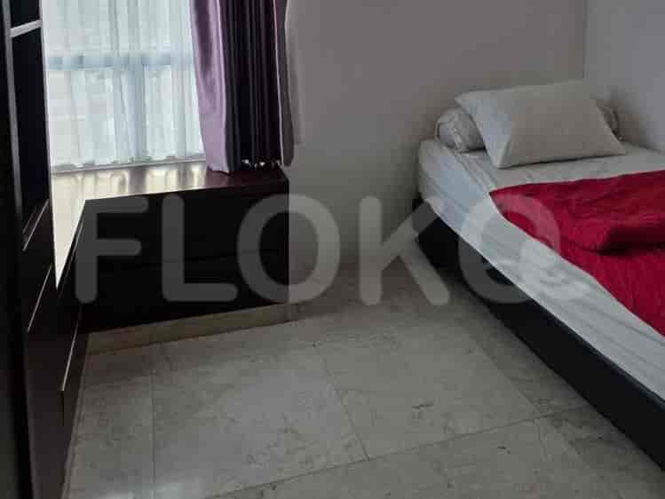
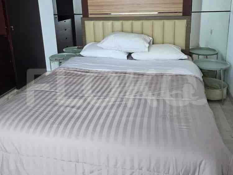
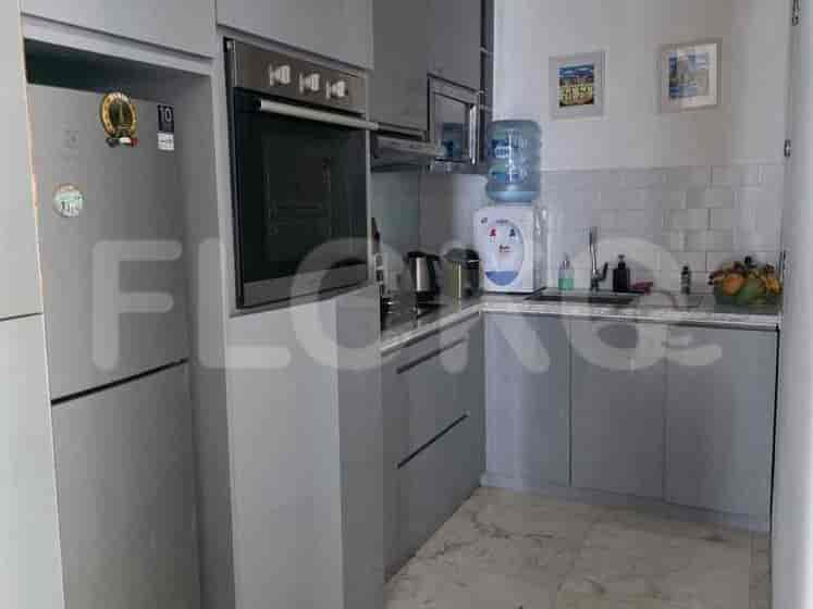
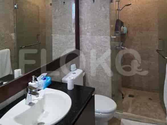
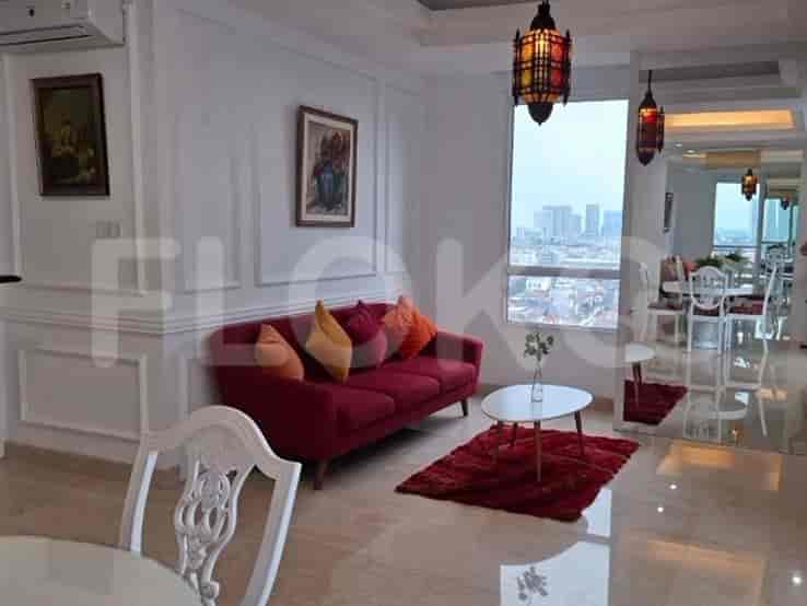
Available units in Cipete Utara


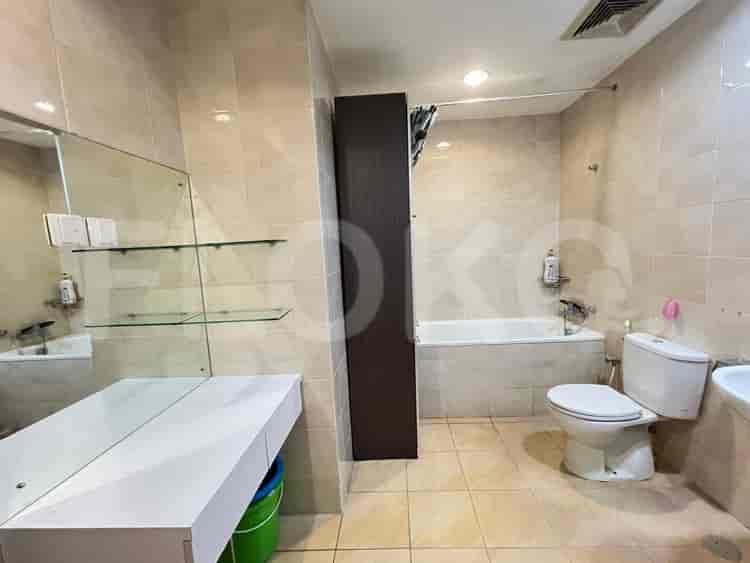
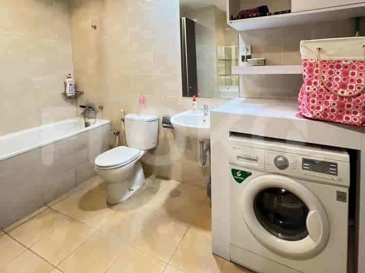
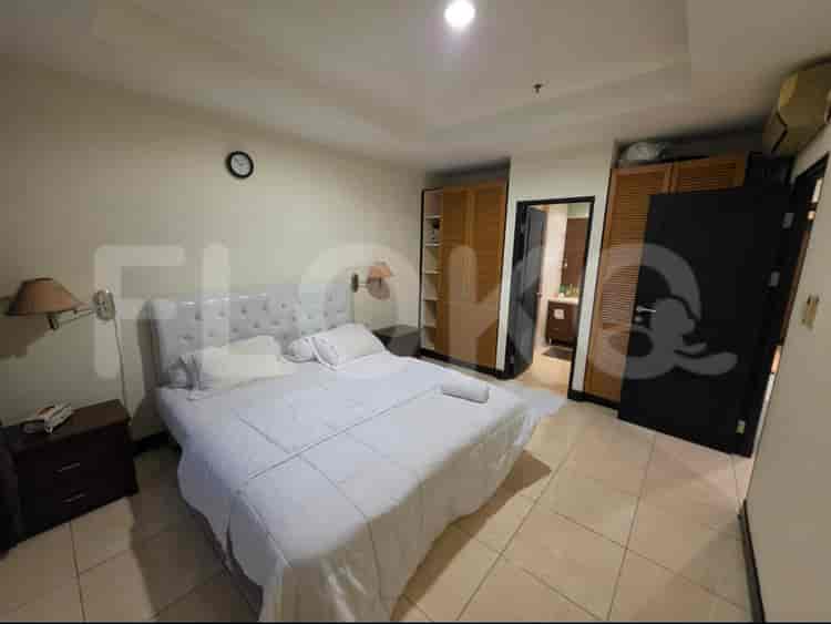
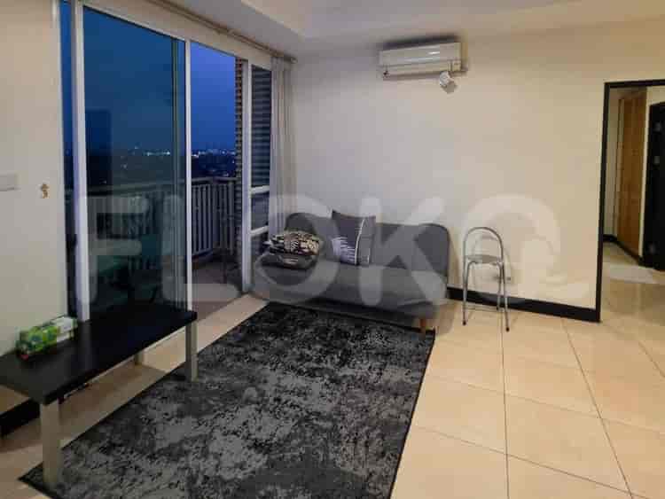
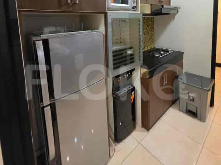
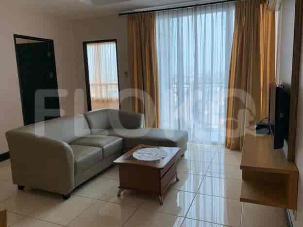
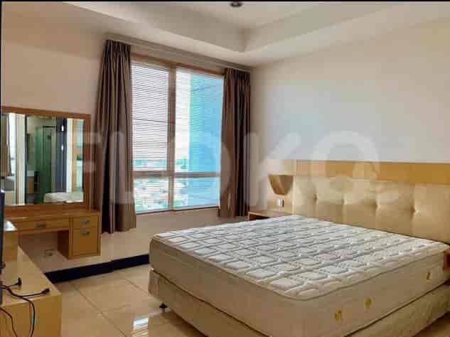
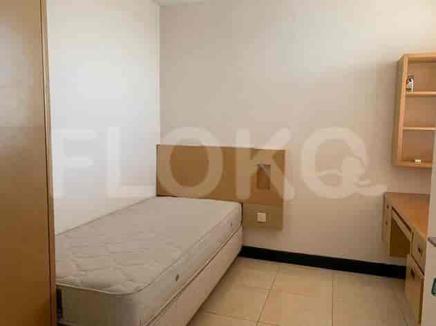


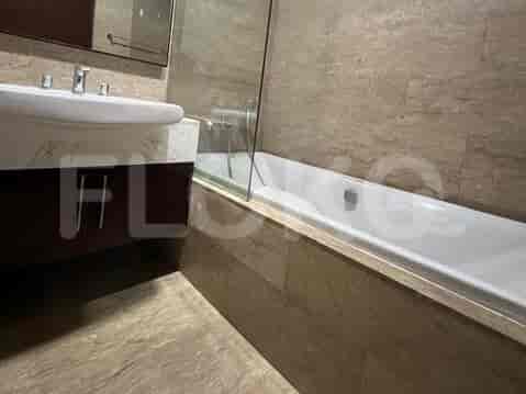
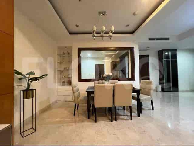
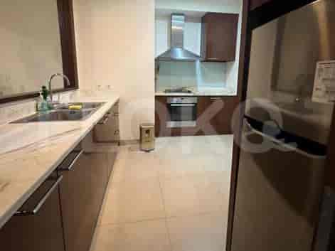
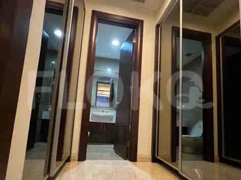
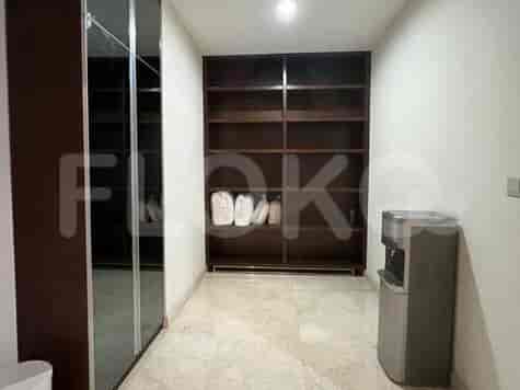
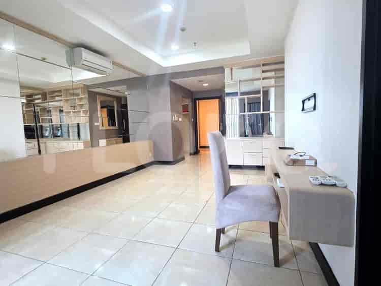
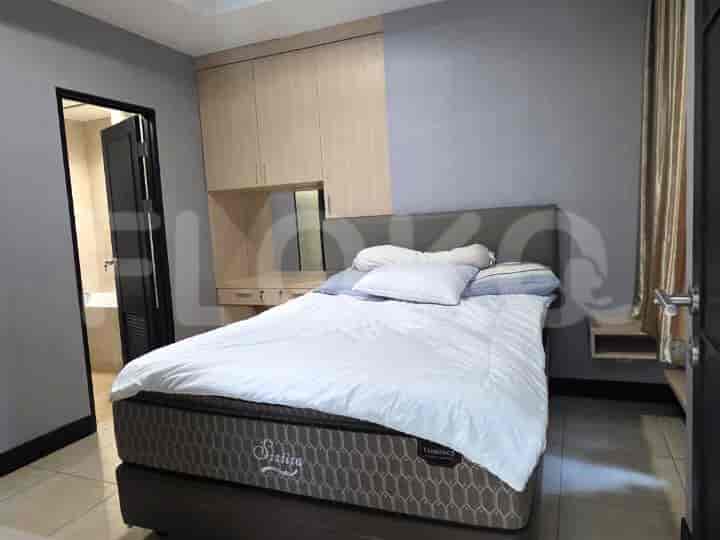
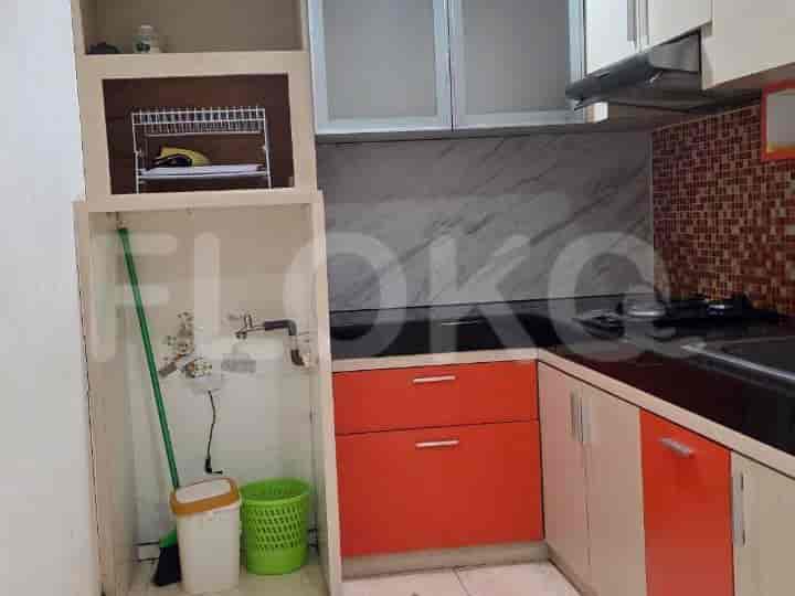
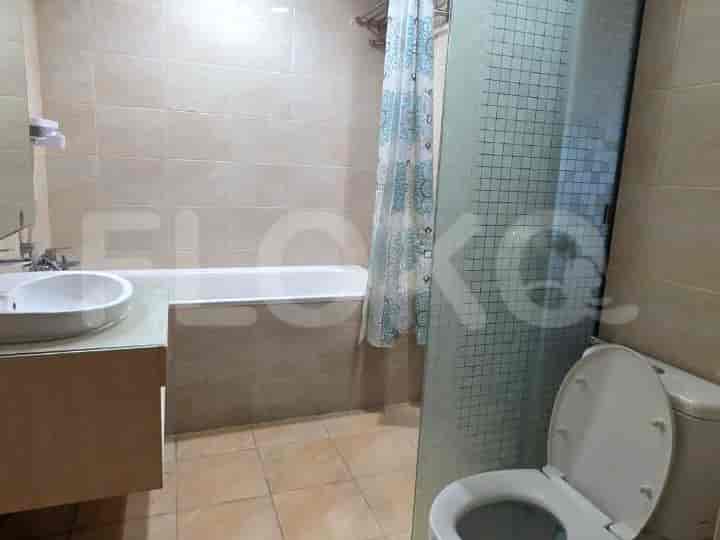
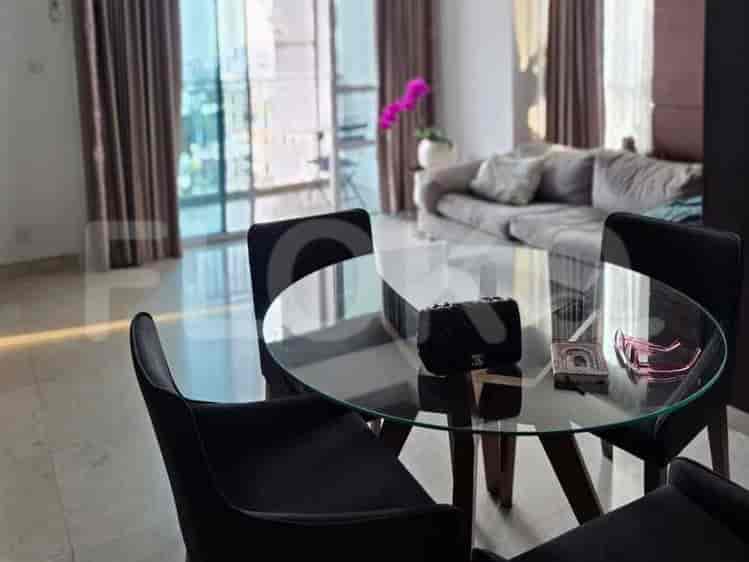
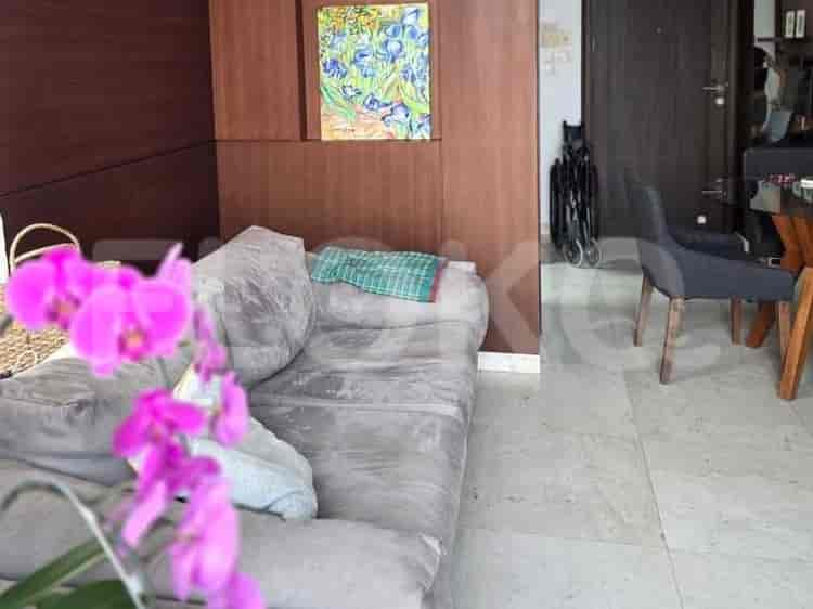


Nearby Facilities and Services - Cipete Utara
Graha Mas FatmawatiWisma KemangGraha Krama YudhaGraha MampangWisma MampangPondok Indah Office Tower 2
Essence Darmawangsa ApartmentKemang Village Empire TowerThe Mansion at KemangKemang Village ResidenceKemang Jaya ApartmentKondominium Kintamani
Blok A MRT StationHaji Nawi MRT StationBlok M MRT StationCipete Raya MRT StationSenayan Station MRT StationFatmawati MRT Station
State Elementary School Cipete Utara 04 MorningState Elementary School Cipete Utara 15 MorningState Elementary School Cipete Utara 12 MorningState Elementary School Cipete Utara 14 MorningState Elementary School Cipete Utara 13 MorningState Elementary School Cipete Utara 11 Morning
Universitas Muhammadiyah Prof. DR. HAMKA (Postgraduate Campus)Universitas Muhammadiyah Prof. DR. HAMKA (Postgraduate Campus)Universitas Al-Azhar IndonesiaAl Azhar UniversitySatya Negara Indonesia UniversityUniversitas Prof. Dr. Moestopo (Beragama)
Kebayoran StationPasar Minggu Baru StationPasar Minggu StationDuren Kalibata StationCawang StationPalmerah Station
Brawijaya Hospital AntasariMampang Prapatan Regional General HospitalAsri Hospital Duren TigaSetia Mitra HospitalJakarta Medical Center HospitalMuhammadiyah Taman Puring Mother & Child Hospital
Embassy of the Republic of SurinameEmbassy of the Republic of Marshall IslandsMinistry of Public Works and HousingRoyal Embassy of CambodiaRoyal Netherlands EmbassyEmbassy of Papua New Guinea
Taman Kemang RegencyPanglima Polim ParkTaman AyodyaTaman Bambu CilandakBarito ParkMampang Prapatan Park
Kemang Raya Bus Stop TransJakarta StationDharmawangsa Bus Stop TransJakarta StationJalan Bima Bus Stop TransJakarta StationHaji Nawi Station Bus StopBrigif Bus Stop TransJakarta StationJalan Wijaya TransJakarta Station
Mampang Toll GatePanglima Polim Toll GateCiputat Toll GateBlok M Toll GateCipete Toll GateCipete Toll Gate
Pondok Indah Sport CenterKemang Village Sports ComplexBimasena Sport CenterBlok M Sports HallPuri Sport CenterRanch Market Sports Field
Balai KartiniJakarta Convention CenterJCC SenayanKartini Exhibition HallPratama HallBintaro Jaya Xchange Convention Center (Often hosts sporting events)
Super IndoLippo Mall KemangHypermart Kemang VillageSuper Indo KemangLotte Mart KemangRanch Market Kemang
See Similar Subdistricts
Sitemap
Index of Apartments for Rent in ProvinceIndex of Apartments for Rent in CityIndex of Apartments for Rent in DistrictIndex of Apartments for Rent in LocalityIndex of Apartments for Rent in AreaIndex of Apartments for RentIndex of Apartments for Rent Near AttractionsIndex of Apartments for Rent by Type Filter
Index of Apartments for Sale in ProvinceIndex of Apartments for Sale in CityIndex of Apartments for Sale in DistrictIndex of Apartments for Sale in LocalityIndex of Apartments for Sale in AreaIndex of Apartments for SaleIndex of Apartments for Sale Near AttractionsIndex of Apartments for Sale by Type Filter
Index of Office BuildingIndex of ProvinceIndex of CityIndex of DistrictIndex of SubdistrictIndex of MallIndex of Mrt StationIndex of SchoolIndex of Train StationIndex of AirportIndex of Embassy And Government OfficeIndex of UniversityIndex of Residential BuildingIndex of HospitalIndex of ParkIndex of Bus StopIndex of Toll GateIndex of Sports Complex StadiumIndex of Convention Exhibition CenterIndex of Supermarket HypermarketIndex of Traditional MarketIndex of Fnb Cluster Lifestyle StreetIndex of Place Of WorshipIndex of Civic Landmark Cultural Icon