Pela Mampang, Mampang Prapatan, South Jakarta
Pela Mampang is a kelurahan (urban village) located within the Mampang Prapatan district of South Jakarta, Jakarta, Indonesia. It is recognized as a significant residential area within the Jabodetabek region, characterized by a mix of housing and public facilities.
Key Highlights
- Pela Mampang is a kelurahan (urban village) in the Mampang Prapatan district of South Jakarta.
- As of the 2010 population census, Pela Mampang had 48,316 inhabitants.
- The kelurahan covers an area of approximately 1.6232 km² (162.32 hectares).
- The zoning primarily consists of residential areas, with smaller portions designated for public facilities, commercial/office spaces, government use, and green spaces.
- Pela Mampang is home to 39 formal educational institutions, ranging from kindergartens to universities.
- The postal code for Pela Mampang is 12720.
Location & Connectivity
Pela Mampang is located in South Jakarta and is accessible via several major roads. Its borders include Jl. Kapten P. Tendean to the north, Kali Mampang (bordering Mampang Prapatan and Tegal Parang kelurahans) to the east, Jl. Bangka XI and Kemang Raya to the south, and Kali Krukut (bordering Petogogan and Pulo kelurahans) to the west. The area is served by various public transportation options, including TransJakarta bus routes (e.g., 4K, 6W, 7Q, M42) with bus stops such as Masjid Jami Al-Aqwam and Rawa Barat. While Jakarta prioritizes road networks, including toll roads, public transport in the greater Jakarta area also includes MRT, LRT, and commuter rail services.
Facilities
Pela Mampang contains a variety of facilities that serve its residents. The area has 39 formal educational buildings, including 11 kindergartens, 12 elementary schools, 6 Islamic elementary schools (MI), 2 Islamic junior high schools (Tsanawiyah), 4 junior high schools, 1 Islamic high school (Aliyah), 1 high school, and 2 universities. The primary land use in Pela Mampang is for housing, with additional areas allocated for public facilities, commercial and office spaces, government buildings, and green open spaces.
Relevance
Pela Mampang functions as a key residential subdistrict within South Jakarta, contributing to the urban fabric of Jabodetabek. Its strategic location and established infrastructure, including educational institutions and varied zoning, make it a self-contained area that supports the broader urban environment. The area's mix of residential and commercial zoning indicates its role in accommodating a diverse population and supporting local economic activities.
Nearby
Pela Mampang is situated near several notable areas and landmarks. It is part of the Mampang Prapatan district, which also includes other kelurahans such as Kuningan Barat, Bangka, Tegal Parang, and Mampang Prapatan itself. The Mampang Prapatan district is known for its expatriate residential areas like Bangka and Kemang. Nearby bus stations include West Rawa, Mampang Prapatan, and Duren Tiga. Major roads in the vicinity include Jalan Jenderal Gatot Subroto Tollway to the north and Kemang Selatan-Kemang Timur Road to the south of the Mampang Prapatan district. Landmarks within the wider Mampang Prapatan area include Lippo Mall Kemang, Al Barkah Mosque, Indonesian Institute of Sciences, and the Satria Mandala Museum.
Data Table
| Category | Data Point | Value |
|---|---|---|
| Geographic | Type | Kelurahan (Urban Village) |
| Geographic | District | Mampang Prapatan |
| Geographic | City | South Jakarta |
| Geographic | Province | Jakarta |
| Geographic | Area (km²) | 1.6232 |
| Population | Population (2010) | 48,316 |
| Demographics | Number of Rukun Warga (RW) | 13 |
| Demographics | Number of Rukun Tetangga (RT) | 150 |
| Infrastructure | Formal Educational Buildings | 39 |
| Postal Code | Code | 12720 |
Available units in Pela Mampang

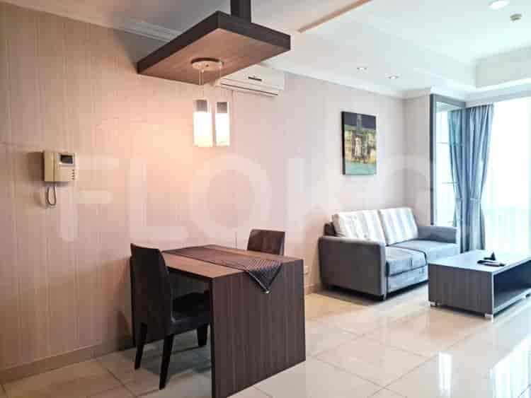


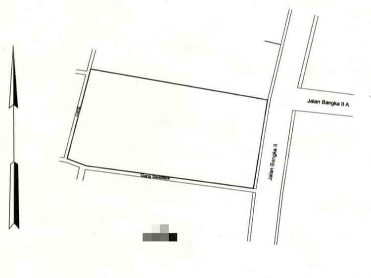

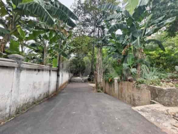


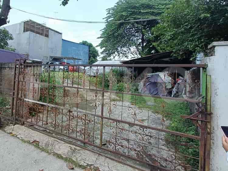
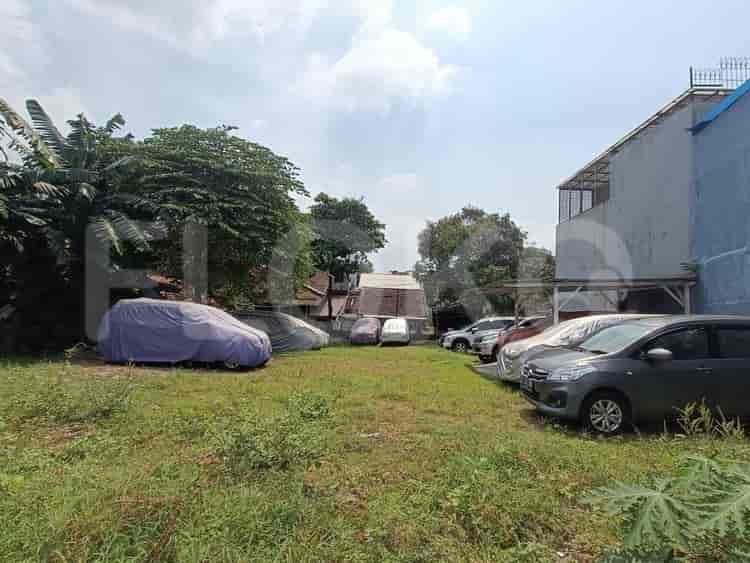
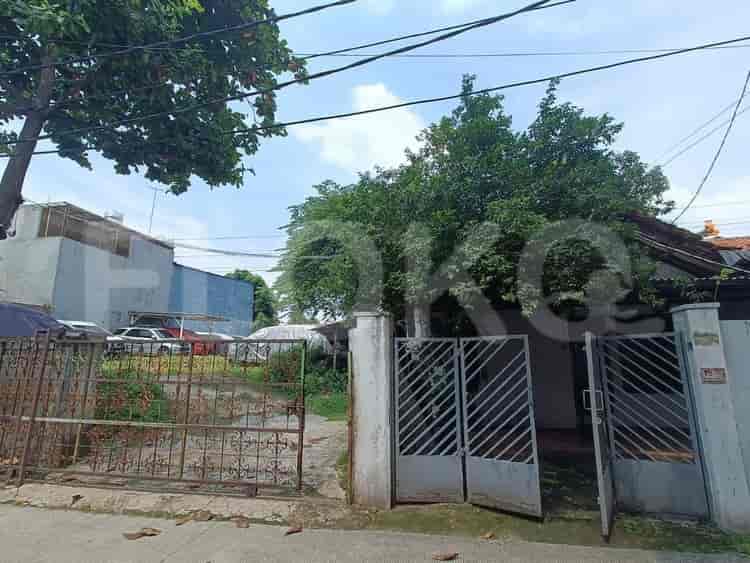


Nearby Facilities and Services - Pela Mampang
Marbella Kemang Residence ApartmentKondominium KintamaniThe Mansion at KemangKemang Village Empire TowerEssence Darmawangsa ApartmentKemang Village Residence
Blok M MRT StationBlok A MRT StationHaji Nawi MRT StationSenayan Station MRT StationIstora Mandiri MRT StationCipete Raya MRT Station
State Elementary School Pela Mampang 01 MorningTarakanita 1 Senior High SchoolNurul Huda Islamic Senior High School Johar BaruNurul Huda Islamic Kindergarten Johar BaruNurul Huda Islamic Elementary School PetamburanSMPN 141 Jakarta
Universitas Al-Azhar IndonesiaAl Azhar UniversityUniversitas Muhammadiyah Prof. DR. HAMKA (Postgraduate Campus)Universitas Muhammadiyah Prof. DR. HAMKA (Postgraduate Campus)BINUS International University, JWC CampusUniversitas Prof. Dr. Moestopo (Beragama)
Kebayoran StationPasar Minggu Baru StationDuren Kalibata StationCawang StationPasar Minggu StationPalmerah Station
Brawijaya Hospital AntasariMampang Prapatan Regional General HospitalAsri Hospital Duren TigaMedistra HospitalJakarta Medical Center HospitalTria Dipa Hospital
Embassy of the Republic of Marshall IslandsEmbassy of the Republic of SurinameMinistry of Public Works and HousingRoyal Netherlands EmbassyEmbassy of the Islamic Republic of PakistanEmbassy of Peru
Dharmawangsa Bus Stop TransJakarta StationKemang Village Bus Stop TransJakarta StationJalan Bima Bus Stop TransJakarta StationKemang Raya Bus Stop TransJakarta StationBlok S Stop TransJakarta StationMampang Prapatan Bus Stop TransJakarta Station
Mampang Toll GateBlok M Toll GateCiputat Toll GatePanglima Polim Toll GateWarung Jati Toll GateGrogol Toll Gate
Kemang Village Sports ComplexBimasena Sport CenterPondok Indah Sport CenterPuri Sport CenterBlok M Sports HallPuri Sport Center
Balai KartiniJakarta Convention CenterJCC SenayanKartini Exhibition HallPratama HallJIExpo Kemayoran
See Similar Subdistricts
Sitemap
Index of Apartments for Rent in ProvinceIndex of Apartments for Rent in CityIndex of Apartments for Rent in DistrictIndex of Apartments for Rent in LocalityIndex of Apartments for Rent in AreaIndex of Apartments for RentIndex of Apartments for Rent Near AttractionsIndex of Apartments for Rent by Type Filter
Index of Apartments for Sale in ProvinceIndex of Apartments for Sale in CityIndex of Apartments for Sale in DistrictIndex of Apartments for Sale in LocalityIndex of Apartments for Sale in AreaIndex of Apartments for SaleIndex of Apartments for Sale Near AttractionsIndex of Apartments for Sale by Type Filter
Index of Office BuildingIndex of ProvinceIndex of CityIndex of DistrictIndex of SubdistrictIndex of MallIndex of Mrt StationIndex of SchoolIndex of Train StationIndex of AirportIndex of Embassy And Government OfficeIndex of UniversityIndex of Residential BuildingIndex of HospitalIndex of ParkIndex of Bus StopIndex of Toll GateIndex of Sports Complex StadiumIndex of Convention Exhibition CenterIndex of Supermarket HypermarketIndex of Traditional MarketIndex of Fnb Cluster Lifestyle StreetIndex of Place Of WorshipIndex of Civic Landmark Cultural Icon