Bintaro: A Comprehensive Guide to the Subdistrict in Jabodetabek
Bintaro is a prominent subdistrict located within the larger Jabodetabek region of Indonesia. Developed as a planned township since 1979 by PT Jaya Real Property Tbk, it has evolved into a self-sufficient urban area. Bintaro is recognized for its concept as a 'garden city' and is marketed as a preferred residential area for professionals. It offers a comprehensive range of facilities and a well-integrated transportation system designed to provide a comfortable living environment. The township encompasses residential, commercial, and green spaces with modern infrastructure.
Key Highlights
- Bintaro Jaya, the planned township, spans approximately 1000 hectares.
- As of 2010, the Bintaro subdistrict had a population of 50,662 residents.
- The population density of Bintaro subdistrict in 2010 was 11,444 inhabitants per km².
- Bintaro Jaya is divided into 9 sectors, with sectors 1 and 2 located in South Jakarta and sectors 3 to 9 in South Tangerang.
- The central business district (CBD) of Bintaro Jaya is situated in Sector 7.
- Bintaro is a significant urban expansion area in South Tangerang, primarily driven by private real estate development.
- The area is designed with a focus on Transit-Oriented Development (TOD) principles.
Location & Connectivity
Bintaro is strategically located within the Jabodetabek region, bordering South Jakarta and extending into South Tangerang, Banten province. The area boasts extensive road access, including direct access to the JORR 2 and Jakarta-Serpong toll roads via the Parigi and Pondok Aren toll gates, facilitating travel to various parts of Jakarta, Tangerang, Depok, and Soekarno-Hatta Airport.
Public transportation in Bintaro is well-developed, integrating various modes. The KRL Commuter Line serves the area with stations at Pondok Ranji, Sudimara, and Jurangmangu. Jurangmangu Station is directly integrated with Bintaro Jaya Xchange Mall. Additionally, Bintaro offers internal shuttle bus services like InTrans Bintaro Jaya, connecting various areas within the township, and Trans Bintaro, with routes extending to other parts of Jakarta. TransJakarta feeder routes and JakLingko services also operate in the vicinity, connecting Bintaro to major transit hubs like Blok M and Lebak Bulus MRT Station. The area emphasizes walkability, particularly in new developments like Bintaro Jaya West District, which follows a 15-minute city framework to encourage pedestrian exploration.
Facilities
Bintaro is equipped with a wide array of modern facilities. For shopping and entertainment, options include Bintaro Jaya Xchange Mall, Bintaro Plaza, Lotte Mart Bintaro, and Trans Park Mall Bintaro. Recreational facilities feature the BX Rink (ice skating rink) and Trans Snow World Bintaro. The area also houses various educational institutions such as British School Jakarta, Jakarta Japanese School, Global Jaya School, Mentari Intercultural School Bintaro, and Universitas Pembangunan Jaya. Healthcare services are provided by several hospitals. Bintaro also includes numerous residential developments and commercial areas, including office towers and retail shophouses, particularly in its CBD. Public services like police stations and fire and rescue agencies are also present. New developments, such as the Bintaro Creative District and U Town Bintaro, are being designed as mixed-use superblocks and university districts, integrating residential, commercial, and public facilities with a focus on creativity and sustainable living.
Relevance
Bintaro plays a crucial role as a satellite city and a significant urban development within the Jabodetabek region, particularly in South Tangerang. Its development as a planned township has transformed rural areas into a modern urban center, characterized by well-structured residential estates, commercial districts, and a comprehensive range of amenities. Bintaro's emphasis on Transit-Oriented Development (TOD) and integrated transportation infrastructure enhances connectivity within the area and to the broader Jakarta metropolitan area, supporting a more sustainable and efficient urban environment. The continuous expansion and introduction of mixed-use developments contribute to its economic vibrancy and appeal as a self-sufficient community.
Nearby
Notable nearby locations include other districts within South Jakarta and South Tangerang. To the north, Bintaro borders Kebayoran Lama Utara and Kebayoran Lama Selatan, and Pesanggrahan. To the east, it borders Pondok Pinang. Major malls such as Bintaro Jaya XChange, Bintaro Plaza, and Lotte Mart Bintaro are in close proximity. The area is well-connected by major roads and toll road access points like JORR 2 and the Jakarta-Serpong toll road. Key public transport nodes include Jurangmangu, Pondok Ranji, and Sudimara KRL stations, as well as various TransJakarta and JakLingko bus stops.
Data Table
| Category | Details |
|---|---|
| Type | Subdistrict / Planned Township |
| Region | Jabodetabek, Indonesia |
| Total Area (Planned Township) | ~1000 km² |
| Population (Bintaro Subdistrict, 2010) | 50,662 |
| Population Density (Bintaro Subdistrict, 2010) | 11,444/km² |
| Number of Sectors (Bintaro Jaya) | 9 |
| Kelurahans (within Bintaro Subdistrict) | Bintaro (Kelurahan) |
| Developer | PT Jaya Real Property Tbk |
| Development Started | 1979 |
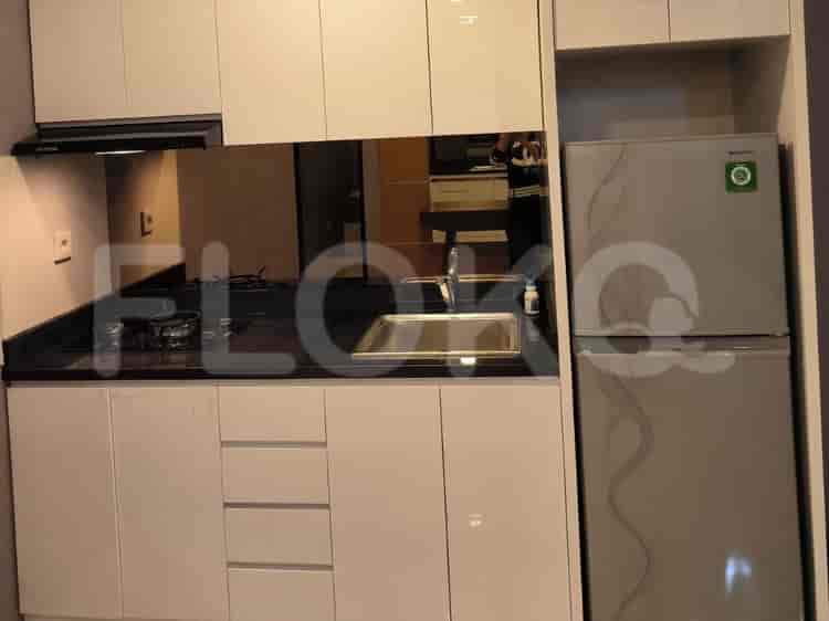
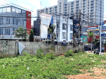
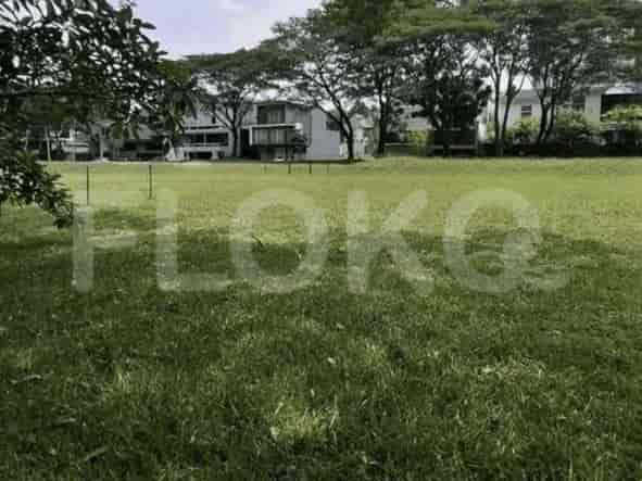
Available units in Bintaro











Nearby Facilities and Services - Bintaro
Pondok Indah Office Tower 3Wisma Pondok Indah 1Pondok Indah Office Tower 2Palma TowerFIF TowerGraha Mas Fatmawati
Lexington ResidenceBintaro Park ViewPondok Indah ResidenceSomerset Kencana JakartaGolfhill Terrace ApartmentAltiz Apartment
Pondok Indah Mall 3Pondok Indah Mall 2Pondok Indah Mall 1Gandaria CityPusat Grosir Metro CipulirITC Fatmawati
Lebak Bulus MRT StationHaji Nawi MRT StationCipete Raya MRT StationFatmawati MRT StationBlok A MRT StationBlok M MRT Station
State Elementary School Bintaro 11 MorningState Elementary School Bintaro 12 MorningState Elementary School Bintaro 10 MorningState Elementary School Bintaro 09 MorningState Elementary School Bintaro 07 MorningState Elementary School Bintaro 08 Morning
Trisakti Tourism College of EconomicsUniversitas Muhammadiyah Jakarta (UMJ) - Faculty of Medicine and Health SciencesUniversitas Muhammadiyah JakartaPrasetiya Mulya University Cilandak CampusPrasetiya Mulya UniversityPrasetiya Mulya Executive Learning Institute
Kebayoran StationJurangmangu StationPalmerah StationTanah Abang Train StationPasar Minggu StationTanjung Barat Station
Dr. Suyoto Hospital (Ministry of Defense Rehabilitation Center)Pesanggrahan Regional General HospitalPondok Indah HospitalPondok Indah Hospital - Bintaro JayaMitra Keluarga BintaroSiloam Hospitals TB Simatupang
Embassy of the Republic of SurinameEmbassy of the Republic of Marshall IslandsMinistry of Public Works and HousingEmbassy of Papua New GuineaEmbassy of New ZealandMinistry of Education and Culture
Taman Gajah MadaTaman Bambu CilandakSitu Gintung ParkTaman Literasi Fatmawati (Near Fatmawati Park)Bintaro Jaya Xchange ParkTaman Puring
U-Turn Sasak Bus Stop TransJakarta StationPesanggrahan Bus Stop TransJakarta StationCiputat Raya Bus Stop TransJakarta StationPondok Indah Mall Bus Stop TransJakarta StationPondok Indah Mall (PIM) Bus StopDeplu Bus Stop TransJakarta Station
Pondok Indah Toll GateSerpong Toll GatePondok Indah Toll GatePondok Indah Toll Gate (W2)Serpong Toll GatePondok Aren Toll Gate
Jaya Sport Center BintaroCiputat Sports CenterPondok Indah Golf Course Driving RangeRanch Market Sports FieldLebak Bulus Sports HallJakarta International Stadium (JIS)
Pratama HallBintaro Jaya Xchange Convention Center (Often hosts sporting events)Balai KartiniJakarta Convention CenterJCC SenayanBSD City Convention Center
Bintaro MarketPondok Pinang MarketRengas Market AreaPondok Indah MarketRempoa MarketLebak Bulus Market
See Similar Subdistricts
Sitemap
Index of Apartments for Rent in ProvinceIndex of Apartments for Rent in CityIndex of Apartments for Rent in DistrictIndex of Apartments for Rent in LocalityIndex of Apartments for Rent in AreaIndex of Apartments for RentIndex of Apartments for Rent Near AttractionsIndex of Apartments for Rent by Type Filter
Index of Apartments for Sale in ProvinceIndex of Apartments for Sale in CityIndex of Apartments for Sale in DistrictIndex of Apartments for Sale in LocalityIndex of Apartments for Sale in AreaIndex of Apartments for SaleIndex of Apartments for Sale Near AttractionsIndex of Apartments for Sale by Type Filter
Index of Office BuildingIndex of ProvinceIndex of CityIndex of DistrictIndex of SubdistrictIndex of MallIndex of Mrt StationIndex of SchoolIndex of Train StationIndex of AirportIndex of Embassy And Government OfficeIndex of UniversityIndex of Residential BuildingIndex of HospitalIndex of ParkIndex of Bus StopIndex of Toll GateIndex of Sports Complex StadiumIndex of Convention Exhibition CenterIndex of Supermarket HypermarketIndex of Traditional MarketIndex of Fnb Cluster Lifestyle StreetIndex of Place Of WorshipIndex of Civic Landmark Cultural Icon