Petukangan Utara, Pesanggrahan, Jakarta Selatan
Petukangan Utara is a subdistrict located within the Pesanggrahan district of South Jakarta, Jakarta, Indonesia. It is an integral part of the larger Jabodetabek metropolitan area. Predominantly a residential area, Petukangan Utara plays a role in accommodating a significant portion of Jakarta's population.
Key Highlights
- Petukangan Utara has an area of approximately 2.99 km² (299 hectares).
- As of the 2010 census, the subdistrict had a population of 58,000.
- The population density was approximately 20,803 people per km² in 2010.
- The primary thoroughfare is Jl. Ciledug Raya, a high-traffic road connecting Ciledug to Jakarta.
- Public transportation options include TransJakarta Koridor 13 and JakLingko angkots.
- Petukangan Utara is home to educational institutions such as Universitas Budi Luhur.
- The subdistrict features community parks like Taman Zodia, RPTRA Petukangan Berseri, and RPTRA Bhineka.
- Silat Beksi, a Betawi martial art, has roots in Petukangan and has been designated as an Intangible Cultural Heritage of DKI Jakarta.
Location & Connectivity
Petukangan Utara is situated in the Pesanggrahan district of South Jakarta. Its main transportation artery is Jl. Ciledug Raya, a heavily used road connecting Ciledug to Jakarta, experiencing daily congestion during peak hours. The subdistrict is served by various public transportation options, including TransJakarta Koridor 13 with stops at Halte Adam Malik (now Halte Petukangan Utara) and Halte JORR, offering routes to areas like Tendean, Blok M, Pancoran Barat, Ragunan, Kuningan, and Kampung Melayu. Angkot JakLingko routes, such as Petukangan Utara - Lebak Bulus (JAK.32) and Taman Kota - Budi Luhur (JAK.51), also provide local connectivity. The TransJakarta L13E Express route, accessible from Halte Petukangan Utara, offers a faster commute to central business districts due to its dedicated flyover lane. Petukangan Utara is bordered by Kelurahan Joglo to the north, Kelurahan Kreo (Tangerang City) to the west, Kelurahan Ulujami to the east, and Kelurahan Petukangan Selatan to the south.
Relevance
Petukangan Utara functions primarily as a residential hub within South Jakarta, contributing to the urban fabric of Jabodetabek. The subdistrict's significant population and strategic location along Jl. Ciledug Raya highlight its role in housing commuters traveling to and from Jakarta's commercial centers. The presence of educational institutions like Universitas Budi Luhur adds to its importance as an urban area. Community facilities and public transport infrastructure further support its function as a self-contained residential zone within the larger metropolitan context.
Nearby
Notable areas near Petukangan Utara include the subdistricts of Joglo to the north, Ulujami to the east, and Petukangan Selatan to the south. To the west, it borders Kelurahan Kreo in Tangerang City, Banten Province. Major roads in the vicinity include Jl. Ciledug Raya. Public transport connections extend to areas like Lebak Bulus via JakLingko and various Jakarta destinations via TransJakarta Koridor 13 routes.
Data Table
| Attribute | Value |
|---|---|
| POI Type | Subdistrict (Kelurahan) |
| Region | Jabodetabek, Indonesia |
| City | South Jakarta |
| District | Pesanggrahan |
| Area | 2.99 km² (299 hectares) |
| Population (2010) | 58,000 |
| Population Density (2010) | 20,803/km² |
| Postal Code | 12260 |
Available units in Petukangan Utara


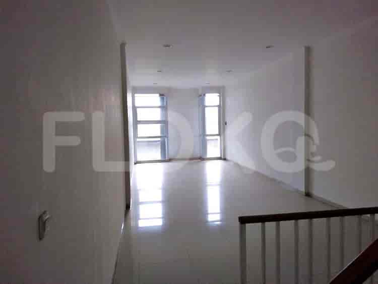




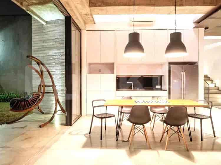
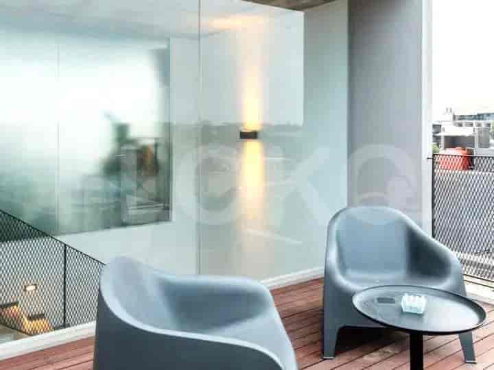


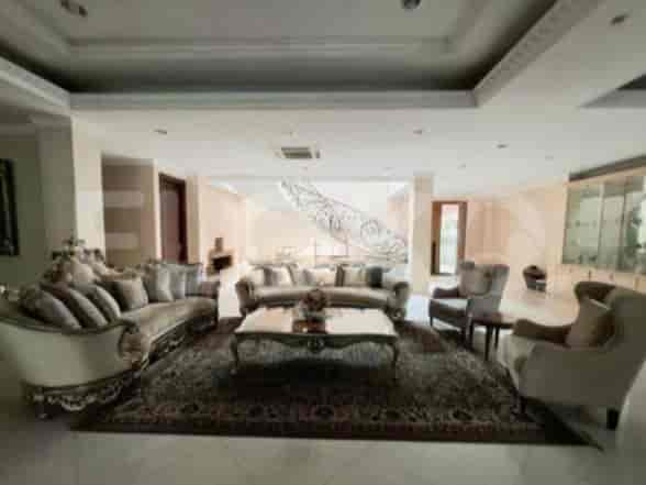
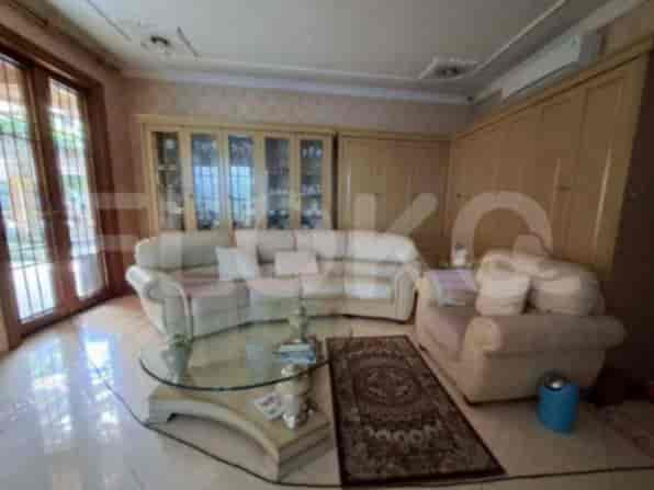
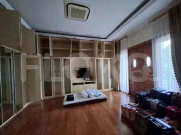


Nearby Facilities and Services - Petukangan Utara
Intercon PlazaKomplek Ruko InterconThe Bellezza Office TowerThe Vida Office BuildingThe Pakubuwono Office TowerAKR Tower
Pakubuwono TerraceKebayoran Icon ApartmentBellezza ApartmentBintaro Park ViewMaqna ResidencePuri Park View Apartment
Pusat Grosir Metro CipulirGandaria CityLippo Mall PuriTaman Puring MarketPuri Indah MallMayestik Market
Blok M MRT StationBlok A MRT StationIstora Mandiri MRT StationSenayan Station MRT StationHaji Nawi MRT StationLebak Bulus MRT Station
State Elementary School Petukangan Utara 13State Elementary School Petukangan Utara 14State Elementary School Petukangan Utara 15State Elementary School Petukangan Utara 12State Elementary School Petukangan Utara 11State Elementary School Petukangan Utara 10
Budi Luhur UniversityMercu Buana UniversitySTIE Bisnis IndonesiaSatya Negara Indonesia UniversityTrisakti Tourism College of EconomicsBinus University Anggrek Campus
Kebayoran StationPalmerah StationTanah Abang Train StationJurangmangu StationTaman Kota StationKaret Station
Petukangan HospitalMedika Permata Hijau HospitalSari Asih Ciledug HospitalPesanggrahan Regional General HospitalKembangan Regional General HospitalMedika Lestari Mother and Child Hospital
Embassy of New ZealandEmbassy of Papua New GuineaMinistry of Public Works and HousingMinistry of Education and CultureEmbassy of the Republic of Marshall IslandsEmbassy of the Republic of Suriname
Joglo ParkLarangan Indah ParkTaman Gajah MadaKembangan City ParkTaman Kota TangerangKebon Jeruk Park
Perumahan Joglo Bus Stop TransJakarta StationPerumahan Joglo Bus Stop TransJakarta StationJoglo Bus Stop TransJakarta StationPos Pengumben Bus Stop TransJakarta StationCipadu Jati Bus Stop TransJakarta StationLarangan Bus Stop TransJakarta Station
JORR W2 Exit Pondok IndahJORR W2 Pondok Indah Toll Gate (South)Ulujami Toll GateLarangan Toll GateArteri Toll Road AccessKembangan Toll Gate
Jaya Sport Center BintaroPuri Sport CenterPusdiklat Kemenlu Sports FieldRanch Market Sports FieldGBK Basketball HallGBK Tennis Indoor
Pratama HallJakarta Convention CenterJCC SenayanBintaro Jaya Xchange Convention Center (Often hosts sporting events)Balai KartiniKartini Exhibition Hall
See Similar Subdistricts
Sitemap
Index of Apartments for Rent in ProvinceIndex of Apartments for Rent in CityIndex of Apartments for Rent in DistrictIndex of Apartments for Rent in LocalityIndex of Apartments for Rent in AreaIndex of Apartments for RentIndex of Apartments for Rent Near AttractionsIndex of Apartments for Rent by Type Filter
Index of Apartments for Sale in ProvinceIndex of Apartments for Sale in CityIndex of Apartments for Sale in DistrictIndex of Apartments for Sale in LocalityIndex of Apartments for Sale in AreaIndex of Apartments for SaleIndex of Apartments for Sale Near AttractionsIndex of Apartments for Sale by Type Filter
Index of Office BuildingIndex of ProvinceIndex of CityIndex of DistrictIndex of SubdistrictIndex of MallIndex of Mrt StationIndex of SchoolIndex of Train StationIndex of AirportIndex of Embassy And Government OfficeIndex of UniversityIndex of Residential BuildingIndex of HospitalIndex of ParkIndex of Bus StopIndex of Toll GateIndex of Sports Complex StadiumIndex of Convention Exhibition CenterIndex of Supermarket HypermarketIndex of Traditional MarketIndex of Fnb Cluster Lifestyle StreetIndex of Place Of WorshipIndex of Civic Landmark Cultural Icon