Joglo Subdistrict, West Jakarta
Joglo is a subdistrict located within the Kembangan district of West Jakarta, part of the larger Jabodetabek metropolitan area in Indonesia. It serves as an administrative village with its own local governance structure. The name "Joglo" historically refers to a traditional Javanese house characterized by its distinctive, tiered roof design, which was traditionally associated with Javanese aristocrats and symbolizes high social and economic status. While the subdistrict itself is a modern urban area, the name reflects a connection to traditional Javanese architectural heritage.
Key Highlights
- Joglo is an administrative village (kelurahan) within the Kembangan district of West Jakarta.
- As of 2010, the population of Joglo was 43,499.
- In April 2016, the population was approximately 41,330 jiwa with 13,315 households.
- The total area of Kelurahan Joglo is ±485.95 hectares (4.86 km²).
- The subdistrict is divided into 9 RW (Rukun Warga) and 115 RT (Rukun Tetangga).
- Property prices in Joglo have shown stability in recent months, with an increase in the number of properties for sale.
Location & Connectivity
Joglo is situated in West Jakarta, bordering Srengseng to the east, Petukangan Utara (South Jakarta) and Larangan Utara (Tangerang City) to the south, Karang Timur (Tangerang City) to the west, and Meruya Selatan to the north. The subdistrict is generally flat, with an elevation between 17 and 17.8 meters above sea level. It is traversed by two rivers, Pesanggrahan River and Gebyuran River. The Jakarta metropolitan area, known as Jabodetabek, has an extensive transportation network, including toll roads and public transit systems such as TransJakarta bus rapid transit, MRT, and KRL Commuterline. While Joglo does not have a direct MRT station, some future MRT plans include a route from Halim to Joglo. Bus services, microbuses (Angkot), motorcycle taxis (ojeks), and traditional taxis are available for local transportation.
Relevance
Joglo functions as a residential subdistrict within the densely populated Jabodetabek megapolitan area. The region as a whole is a significant center for government, culture, education, and economy in Indonesia. The development of satellite cities and integrated urban areas with various facilities is a key trend in Jabodetabek. While Jakarta's residential property prices have seen modest growth, suburban areas have experienced an increase in landed house prices, and there is a noticeable shift of people moving to these suburban areas.
Nearby
Joglo is located near several notable areas and infrastructure. To its south, it borders the city of Tangerang. Major toll roads in Greater Jakarta include the Jakarta Outer Ring Road (JORR) and radiating toll roads like the Jakarta-Tangerang Toll Road. The Jakarta Outer Ring Road (JORR) network provides connections within and outside the city. Other nearby districts in West Jakarta include Kembangan and Meruya Selatan. The Monumen Nasional (Monas) is a significant landmark located in Central Jakarta.
Data Table
| Category | Data Point |
|---|---|
| POI Type | Subdistrict (Kelurahan) |
| Region | Jabodetabek, Indonesia |
| Administrative City | West Jakarta |
| District (Kecamatan) | Kembangan |
| Total Area | ±485.95 hectares (4.86 km²) |
| Population (2010) | 43,499 |
| Population (April 2016) | ±41,330 |
| Number of RW | 9 |
| Number of RT | 115 |
| Elevation | 17 - 17.8 Mdpl (meters above sea level) |
Available units in Joglo


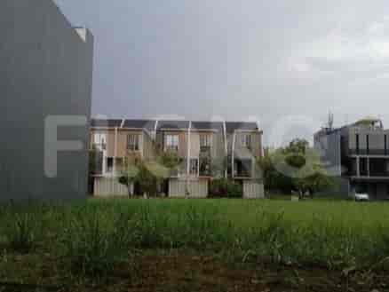
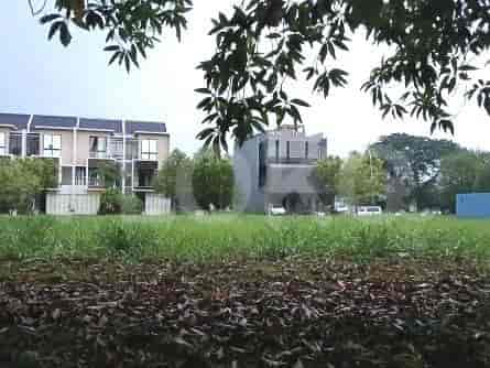
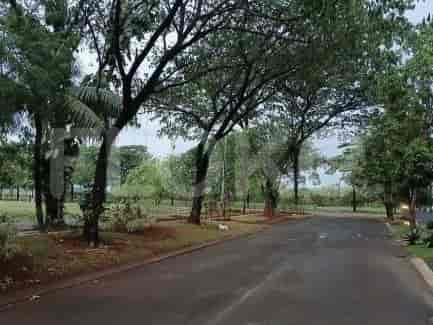
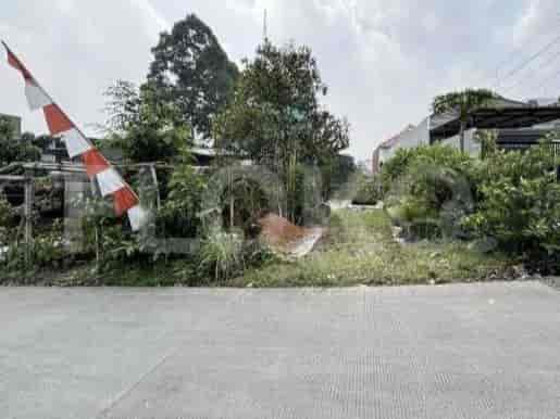
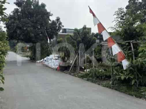


Nearby Facilities and Services - Joglo
Intercon PlazaKomplek Ruko InterconPuri Kembangan Office ParkLippo Mall Puri Office TowerLippo Puri TowerThe Vida Office Building
Maqna ResidencePuri Park View ApartmentPakubuwono TerraceVeranda ResidenceST Moritz ApartmentMetro Park Apartment
Pusat Grosir Metro CipulirLippo Mall PuriPuri Indah MallGandaria CityTaman Puring MarketMayestik Market
Blok M MRT StationIstora Mandiri MRT StationBlok A MRT StationSenayan Station MRT StationHaji Nawi MRT StationBendungan Hilir MRT Station
SDN Meruya Selatan 03 PagiSMPN 206 JakartaSMP Negeri 206 JakartaState Elementary School Petukangan Utara 13State Elementary School Petukangan Utara 14State Elementary School Petukangan Utara 15
Mercu Buana UniversityBudi Luhur UniversitySTIE Bisnis IndonesiaBinus University Anggrek CampusBINUS University, Anggrek CampusBinus University Syahdan Campus
Kebayoran StationPalmerah StationTaman Kota StationTanah Abang Train StationKalideres StationGrogol Station
Petukangan HospitalKembangan Regional General HospitalSari Asih Ciledug HospitalKarang Tengah Medika HospitalMedika Permata Hijau HospitalSiloam Hospitals Kebon Jeruk
Embassy of New ZealandEmbassy of Papua New GuineaMinistry of Education and CultureMinistry of Public Works and HousingEmbassy of MozambiqueEmbassy of the Republic of Marshall Islands
Joglo Bus Stop TransJakarta StationPerumahan Joglo Bus Stop TransJakarta StationPerumahan Joglo Bus Stop TransJakarta StationPos Pengumben Bus Stop TransJakarta StationIntercon Bus Stop TransJakarta StationIntercon Plaza Bus Stop TransJakarta Station
JORR W2 Pondok Indah Toll Gate (South)Kembangan Toll GateMeruya Toll GateJORR W2 Exit Pondok IndahLarangan Toll GateToll Gate Meruya
Jaya Sport Center BintaroGBK Basketball HallKemanggisan Sports CenterPusdiklat Kemenlu Sports FieldPuri Sport CenterGBK Tennis Indoor
Pratama HallJakarta Convention CenterJCC SenayanBintaro Jaya Xchange Convention Center (Often hosts sporting events)Balai KartiniKartini Exhibition Hall
See Similar Subdistricts
Sitemap
Index of Apartments for Rent in ProvinceIndex of Apartments for Rent in CityIndex of Apartments for Rent in DistrictIndex of Apartments for Rent in LocalityIndex of Apartments for Rent in AreaIndex of Apartments for RentIndex of Apartments for Rent Near AttractionsIndex of Apartments for Rent by Type Filter
Index of Apartments for Sale in ProvinceIndex of Apartments for Sale in CityIndex of Apartments for Sale in DistrictIndex of Apartments for Sale in LocalityIndex of Apartments for Sale in AreaIndex of Apartments for SaleIndex of Apartments for Sale Near AttractionsIndex of Apartments for Sale by Type Filter
Index of Office BuildingIndex of ProvinceIndex of CityIndex of DistrictIndex of SubdistrictIndex of MallIndex of Mrt StationIndex of SchoolIndex of Train StationIndex of AirportIndex of Embassy And Government OfficeIndex of UniversityIndex of Residential BuildingIndex of HospitalIndex of ParkIndex of Bus StopIndex of Toll GateIndex of Sports Complex StadiumIndex of Convention Exhibition CenterIndex of Supermarket HypermarketIndex of Traditional MarketIndex of Fnb Cluster Lifestyle StreetIndex of Place Of WorshipIndex of Civic Landmark Cultural Icon