Jatimelati: A Subdistrict in Pondok Melati, Bekasi
Jatimelati is a subdistrict located within the Pondok Melati district of Bekasi, West Java, Indonesia. It is recognized for its religious harmony, exemplified by the close proximity of a mosque, a Christian church, and a Catholic church along Jalan Raya Kampung Sawah. The subdistrict was formed as a result of the expansion of the Jatiwarna area, based on Regional Regulation No. 04 of 2004.
Key Highlights
- Jatimelati covers an area of approximately 2.76 km².
- As of mid-2023, the estimated population of Jatimelati was 21,275.
- In 2016, the population was 26,275, with a density of 8,753 people/km².
- The subdistrict is known for its religious tolerance, with a mosque, a Christian church, and a Catholic church located near each other.
- Jatimelati is one of four urban communities (kelurahan) within the Pondok Melati district.
- The local language is a Betawi dialect, a blend of various languages from Batavia and its surroundings.
- Jatimelati is part of the Greater Jakarta area, a significant region for real estate investment.
- The subdistrict comprises 15 RW (Rukun Warga) and 90 RT (Rukun Tetangga) as of 2017.
Location & Connectivity
Jatimelati is situated in the Pondok Melati district of Bekasi, West Java. The area's main thoroughfare, Jalan Raya Kampung Sawah, facilitates local movement. Public transportation options in the broader Pondok Melati area include Koasi K21A and K21B routes to Pondok Gede via Jalan Raya Kecapi, KWK T10 to Cililitan-Komplek Chandra, and Koasi K06 to Kampung Rambutan-Ujung Aspal. The district is also close to the Jatiwarna toll gate, providing access to major road networks.
Relevance
Jatimelati functions as a residential subdistrict within the Bekasi urban area. Its notable religious harmony contributes to its unique community identity within the larger metropolitan region. The area's development contributes to the overall growth of Bekasi, a supporting region of Greater Jakarta, which experiences strong demand for residential real estate.
Nearby
Jatimelati is located within the Pondok Melati district. Neighboring areas include Jati Rahayu, Jati Warna, and Jati Murni, which are also kelurahans within Pondok Melati. The subdistrict is in proximity to the Jatiwarna toll gate.
Data Table
| Category | Data Point | Value |
|---|---|---|
| POI Type | Subdistrict | Jatimelati |
| Region | Province | West Java |
| City | Bekasi | Bekasi |
| District | Pondok Melati | Pondok Melati |
| Area (2010) | Total Area | 2.998 km² |
| Area (mid-2023) | Total Area | 2.76 km² |
| Population (2010) | Total Population | 20,598 |
| Population (2016) | Total Population | 26,275 |
| Population (mid-2023) | Total Population | 21,275 |
| Population Density (2016) | Density | 8,753 jiwa/km² |
| Number of RT (2017) | Rukun Tetangga | 90 |
| Number of RW (2017) | Rukun Warga | 15 |
Available units in Jatimelati
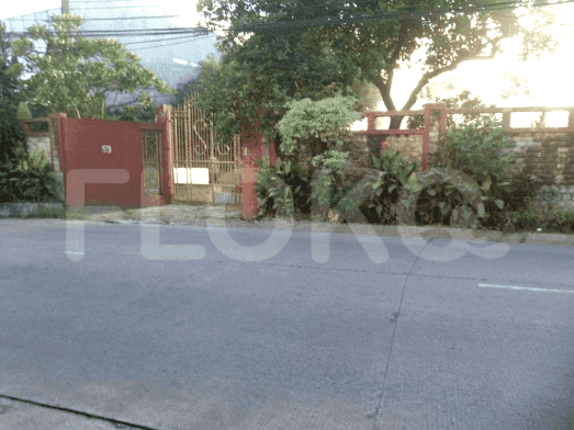

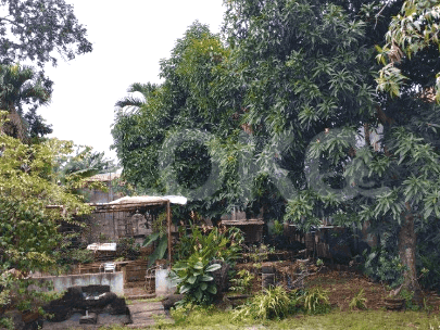
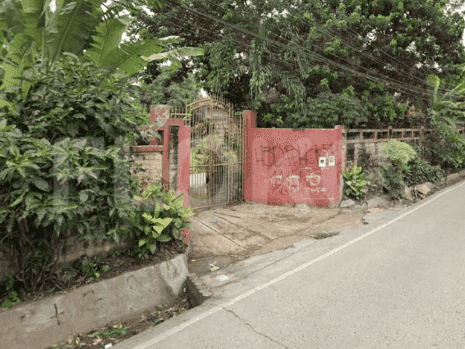

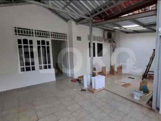
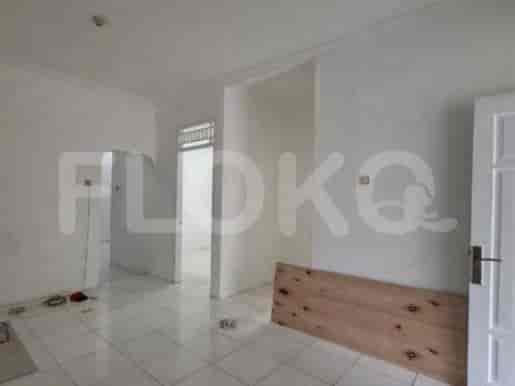
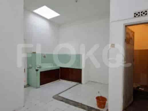
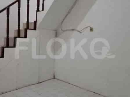
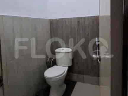
Nearby Facilities and Services - Jatimelati
Mandiri TowerTranspark Cibubur Office TowerBekasi Cyber Park (BCP)Puri Sentra NiagaGraha IntirubWalikota Jakarta Timur Office Area Proximity
Sakura Garden CityGateway Park LRT CityVilla Duta AreaTranspark Cibubur ApartmentGrand Kamala LagoonMutiara Bekasi
Cibubur SquareTamini SquareCibubur JunctionLippo Plaza Kramat JatiMall Cipinang IndahPusat Grosir Cililitan
Cipete Raya MRT StationFatmawati MRT StationHaji Nawi MRT StationBlok A MRT StationSenayan Station MRT StationBlok M MRT Station
Bekasi State Senior High School 7Jatimelati State Elementary School 1SMK Negeri 10 BekasiSDIT Al-Ikhlas JogloJatimurni 1 Public Elementary SchoolJatimekar 2 Elementary School
Paramadina UniversityUniversitas Mercu Buana Cileungsi CampusMercu Buana University Jatiwaringin CampusKrisnadwipayana UniversityKusuma Negara College of EconomicsBorobudur University
Pasar Minggu StationTanjung Barat StationCakung StationPasar Minggu Baru StationLenteng Agung StationDuren Kalibata Station
Jatiwarna HospitalHelsa HospitalJatisampurna HospitalMasmitra HospitalCipayung Regional General HospitalAdhyaksa Hospital
Ministry of AgricultureRoyal Embassy of CambodiaEmbassy of the People's Republic of BangladeshEmbassy of AustraliaBritish Embassy JakartaRoyal Netherlands Embassy
Pondok Melati Green ParkJatiasih Green ParkMelati Asri ParkBambu Apus ParkPondok Gede City ParkTaman Mini Indonesia Indah
Pondok Melati Bus Stop TransJakarta StationJatiasih Bus Stop TransJakarta StationGate 1 Bus Stop TransJakarta StationHankam Bus Stop TransJakarta StationCileungsi Junction Bus Stop TransJakarta StationKalimalang Bridge Bus Stop TransJakarta Station
Jatiwarna Toll GateJatiasih Toll GateJatiasih Toll GateJati Sampurna Toll GateJati Asih Toll GateBambu Apus Toll Gate
Cipayung Sports HallJati Bening Sports CenterIndoor Badminton Hall CiracasBekasi City Sports ArenaCibubur Junction Sports CenterJababeka Golf & Country Club (Though slightly outside the core, often referenced)
Grand Galaxy Convention CenterBekasi Convention CenterSavana Convention HallBalai KartiniKartini Exhibition HallJCC Senayan
Setu MarketJati Asih Traditional MarketPondok Gede MarketBambu Apus MarketPondok Ranggon MarketJatikramat Market
See Similar Subdistricts
Sitemap
Index of Apartments for Rent in ProvinceIndex of Apartments for Rent in CityIndex of Apartments for Rent in DistrictIndex of Apartments for Rent in LocalityIndex of Apartments for Rent in AreaIndex of Apartments for RentIndex of Apartments for Rent Near AttractionsIndex of Apartments for Rent by Type Filter
Index of Apartments for Sale in ProvinceIndex of Apartments for Sale in CityIndex of Apartments for Sale in DistrictIndex of Apartments for Sale in LocalityIndex of Apartments for Sale in AreaIndex of Apartments for SaleIndex of Apartments for Sale Near AttractionsIndex of Apartments for Sale by Type Filter
Index of Office BuildingIndex of ProvinceIndex of CityIndex of DistrictIndex of SubdistrictIndex of MallIndex of Mrt StationIndex of SchoolIndex of Train StationIndex of AirportIndex of Embassy And Government OfficeIndex of UniversityIndex of Residential BuildingIndex of HospitalIndex of ParkIndex of Bus StopIndex of Toll GateIndex of Sports Complex StadiumIndex of Convention Exhibition CenterIndex of Supermarket HypermarketIndex of Traditional MarketIndex of Fnb Cluster Lifestyle StreetIndex of Place Of WorshipIndex of Civic Landmark Cultural Icon