Ciparigi: A Subdistrict in Bogor Utara, Bogor City
Ciparigi is an administrative subdistrict (kelurahan) located within the Bogor Utara (North Bogor) district of Bogor City, West Java, Indonesia. It functions as a residential and developing area within the larger urban framework of Bogor.
Key Highlights
- Ciparigi is one of eight kelurahans within the Bogor Utara district.
- As of mid-2022, Ciparigi had an estimated population of 27,005 residents.
- The subdistrict covers an area of approximately 1.82 km².
- Ciparigi's population density in 2010 was 13,247 people per km².
- Bogor Utara, where Ciparigi is located, is considered a potential 'sunrise property' area due to its amenities and city plans for a new business center.
- The median price for houses in Ciparigi remained stable in July 2025.
Location & Connectivity
Ciparigi is situated in Bogor Utara, Bogor City, West Java. The subdistrict's coordinates are approximately -6.5480211 latitude and 106.8148879 longitude. Bogor City itself is located approximately 60 kilometers south of Jakarta. The region's accessibility is supported by its proximity to major transportation routes, including the Jagorawi highway. Cilebut Station, a railway station serving the Jabodetabek area, is located about 3 km northwest of Ciparigi.
Relevance
Ciparigi contributes to the urban fabric of Bogor City primarily as a residential subdistrict. Its development is part of the broader growth occurring in Bogor Utara, an area identified for its potential as a 'sunrise property' location. The ongoing development in Bogor, including residential initiatives, indicates its role in accommodating population growth and urban expansion in West Java.
Nearby
Ciparigi is bordered by other kelurahans within Bogor Utara, including Kedunghalang. Notable nearby areas include Sentul International Convention Center, located approximately 3.5 km east, and Cibinong, situated about 8 km north. Bogor City is also known for the Bogor Botanical Gardens and the Presidential Palace.
Data Table
| Category | Data Point | Value |
|---|---|---|
| POI Type | Type | Subdistrict (Kelurahan) |
| Geographic Coordinates | Latitude | -6.5480211 |
| Geographic Coordinates | Longitude | 106.8148879 |
| Area | Total Area | 1.82 km² |
| Population | Population (mid-2022 estimate) | 27,005 |
| Population | Population Density (2010) | 13,247/km² |
| Administrative Division | District | Bogor Utara |
| City | City | Bogor City |
| Province | Province | West Java |
| Postal Code | Ciparigi Postal Code | 16157 |
Available units in Ciparigi


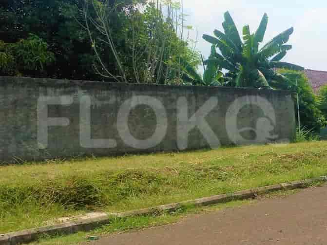
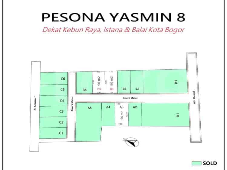
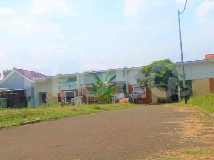
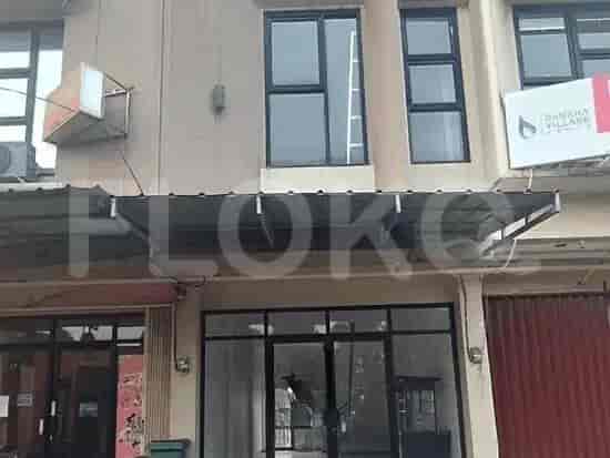
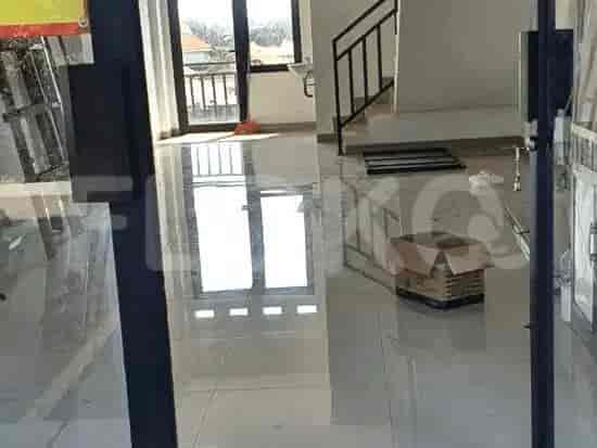
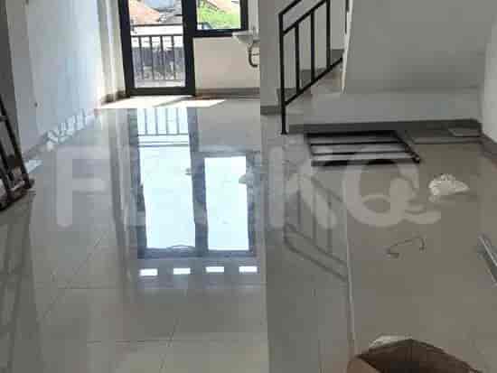
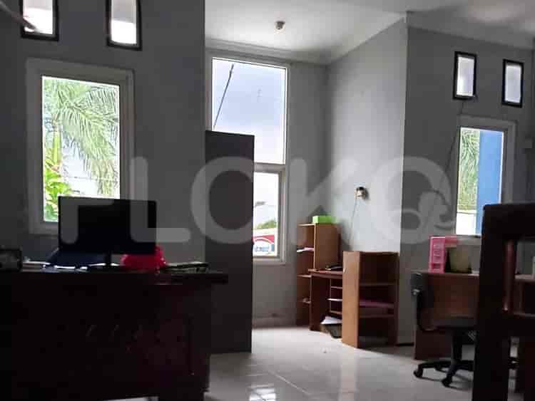
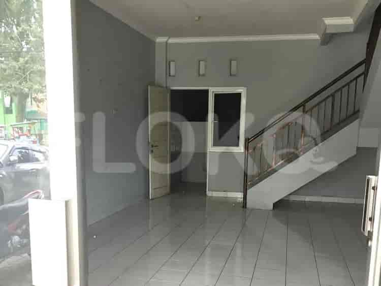
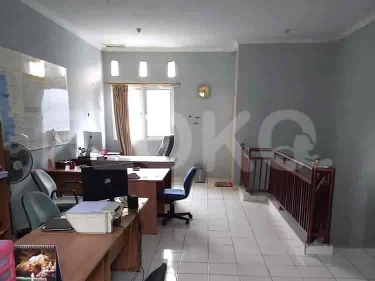
Nearby Facilities and Services - Ciparigi
Bogor Icon HotelPodomoro Golf View OfficeGrand Depok City Business ParkGraha Depok MasDmall Office TowerPesona Square Office Tower
Bogor IconSentul Tower ApartmentRusunawa Depok (Cimanggis Area)Podomoro Golf View ApartmentThe Village Resort AreaDave Apartment
Fatmawati MRT StationLebak Bulus MRT StationCipete Raya MRT StationHaji Nawi MRT StationBlok A MRT StationBlok M MRT Station
Ciparigi 2 Elementary SchoolSDN Kedunghalang 3SDN Kedunghalang 2SMAN 8 BogorMTs Nurul Huda CibinongSDN Cibuluh 3
Politeknik AKA BogorPoliteknik AKA BogorSTIKES Bogor RayaBogor Islamic University (UIKA)Tazkia InstituteSTIE Dewantara
Universitas Indonesia StationLenteng Agung StationTanjung Barat StationPasar Minggu StationRawa Buntu StationJurangmangu Station
North Bogor Regional General HospitalBogor Islamic HospitalBogor Islamic HospitalMulia Pajajaran HospitalAzra HospitalNuraida Mother and Child Hospital
Ministry of Maritime Affairs and FisheriesMinistry of AgricultureRoyal Embassy of CambodiaEmbassy of the Republic of SurinameEmbassy of the Republic of Marshall IslandsEmbassy of the People's Republic of Bangladesh
Taman HeulangTaman Corat-CoretKencana Forest ParkPerumahan Taman Yasmin ParkKencana ParkSentul City Green Open Space
Villa Bogor Indah Bus Stop TransJakarta StationSimpang Pomad Stop TransJakarta StationWarung Jambu Bus Stop TransJakarta StationBogor Ring Road Ciawi Stop Bus StopJalan Sholeh Iskandar Intersection Bus Stop TransJakarta StationBotani Square Bus Stop TransJakarta Station
Bogor Outer Ring Road (BORR) AccessBogor Outer Ring Road Toll Gate (BORR) - Sentul AccessBogor Outer Ring Road Toll Gate CiawiBogor Outer Ring Road (BORR) Toll Gate (Simpar/Salabenda)Bogor Outer Ring Road Toll Gate (BORR)Bogor Outer Ring Road Toll Gate (BORR Exit)
Pajajaran University Sports FieldBogor Regency Sports HallPurnawarman Sports CenterBogor Green Forest Sports CenterSentul International CircuitBogor Mini Stadium
IPB International Convention Center AreaBSD City Convention CenterBintaro Jaya Xchange Convention Center (Often hosts sporting events)Assembly Hall BSD CityQ-BiC Convention CenterPrasetya Mulya Convention Center
Grand Lucky Bogor (Under Development/Planned)Super IndoBogor Grand MallHypermart Cibinong City MallSuper Indo CilebutSuper Indo
See Similar Subdistricts
Sitemap
Index of Apartments for Rent in ProvinceIndex of Apartments for Rent in CityIndex of Apartments for Rent in DistrictIndex of Apartments for Rent in LocalityIndex of Apartments for Rent in AreaIndex of Apartments for RentIndex of Apartments for Rent Near AttractionsIndex of Apartments for Rent by Type Filter
Index of Apartments for Sale in ProvinceIndex of Apartments for Sale in CityIndex of Apartments for Sale in DistrictIndex of Apartments for Sale in LocalityIndex of Apartments for Sale in AreaIndex of Apartments for SaleIndex of Apartments for Sale Near AttractionsIndex of Apartments for Sale by Type Filter
Index of Office BuildingIndex of ProvinceIndex of CityIndex of DistrictIndex of SubdistrictIndex of MallIndex of Mrt StationIndex of SchoolIndex of Train StationIndex of AirportIndex of Embassy And Government OfficeIndex of UniversityIndex of Residential BuildingIndex of HospitalIndex of ParkIndex of Bus StopIndex of Toll GateIndex of Sports Complex StadiumIndex of Convention Exhibition CenterIndex of Supermarket HypermarketIndex of Traditional MarketIndex of Fnb Cluster Lifestyle StreetIndex of Place Of WorshipIndex of Civic Landmark Cultural Icon