Pancoran Toll Gate, Pancoran, South Jakarta
The Pancoran Toll Gate is a key piece of transportation infrastructure situated in the Pancoran district of South Jakarta, Indonesia. It plays a vital role in managing traffic flow and enabling access to Jakarta's extensive toll road network, contributing to urban mobility and connectivity within the greater Jakarta metropolitan area. Toll gates are essential for controlling vehicle flow and collecting tolls, with their location and system selection based on economic feasibility and anticipated traffic patterns.
Key Highlights
- Located in Pancoran, a prominent subdistrict (kecamatan) within South Jakarta, covering an area of 8.53 km² (3.29 sq mi).
- Pancoran subdistrict had a population of 168,600 as of 2021.
- The toll gate is integral to Jakarta's urban transportation network, facilitating movement on major arterial roads.
- Toll road construction in Indonesia, particularly in regions like Jakarta, often induces the development of local road projects and can impact residential areas and population changes.
- Pancoran is recognized for its strategic location and integration into Jakarta's public transportation network, including the Jabodebek LRT system.
- Urban toll gates can help manage congestion by encouraging redistribution of demand in space or time, leading to more efficient traffic outcomes.
Location & Connectivity
The Pancoran Toll Gate is strategically positioned in the Pancoran district of South Jakarta. This area is bounded by the Ciliwung River to the east, the Mampang River to the west, and major roads such as Kapten Tendean Road, Jend. Gatot Subroto, Letjen. MT Haryono, and the Jakarta Inner Ring Road to the north. The district benefits from accessibility through various public transport options, including the Pancoran LRT Station, which connects to TransJakarta Corridor 9, city buses, and ride-hailing services. Toll gates, like Pancoran, are typically situated at points optimized for traffic flow and interchange with other road networks.
Facilities
Toll gates are equipped with specialized lane equipment elements designed to control the flow of vehicles and facilitate toll collection. These systems support various payment methods, including manual, automatic, and electronic options. The design and location of toll gates are determined by economic feasibility, estimated traffic volume, and the arrangement of traffic interchanges.
Relevance
The Pancoran Toll Gate plays a crucial role in Jakarta's urban infrastructure by facilitating the efficient movement of vehicles within the city's toll road network. Toll roads are primarily designed to alleviate congestion on main roads and enhance the distribution of goods and services. The presence of toll gates and associated road infrastructure can influence urban growth patterns, impacting local road investments and land use in surrounding residential areas. Effective congestion pricing through tolling can lead to reductions in traffic congestion and pollution.
Nearby
Notable areas near the Pancoran Toll Gate include the six administrative villages (kelurahan) within the Pancoran district: Kalibata, Rawa Jati, Duren Tiga, Cikoko, Pengadegan, and Pancoran. The Dirgantara Monument is a prominent landmark located in Pancoran, bordering the Tebet district. Other significant locations include the Kalibata National Heroes' Cemetery. South Jakarta, where Pancoran is located, is also known for its concentration of foreign embassies and major business centers, particularly in areas like Setiabudi.
Data Table
| Category | Data Point |
|---|---|
| POI Type | Toll Gate |
| Region | Jakarta, Indonesia |
| District | Pancoran |
| Subdistrict Area | 8.53 km² (3.29 sq mi) |
| Subdistrict Population (2021) | 168,600 |
| Administrative City | South Jakarta |
Available units near Pancoran Toll Gate




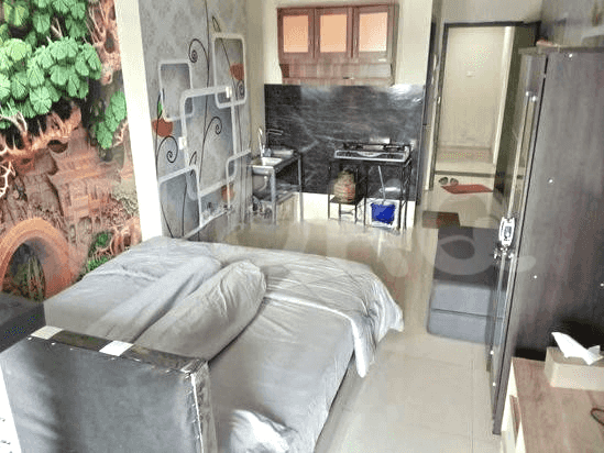

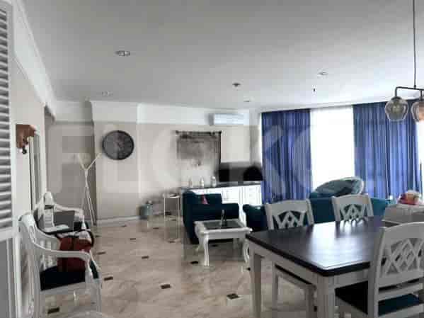
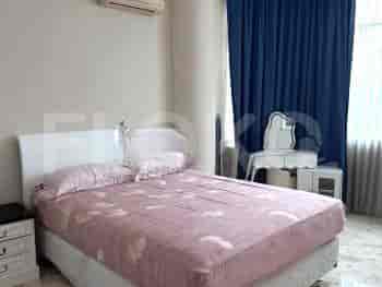
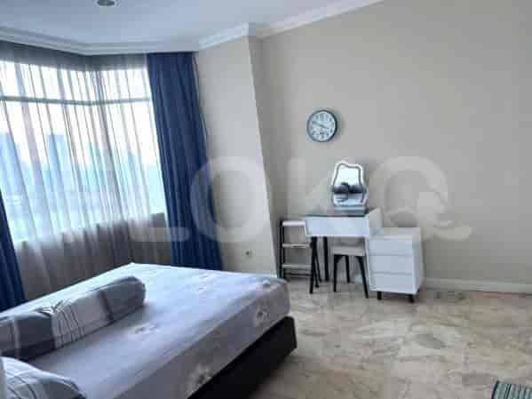
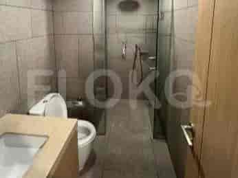


Nearby Facilities and Services - Pancoran Toll Gate
L'Avenue Office BuildingWisma KorindoMenara Bidakara 1Menara Bidakara 2Graha Krama YudhaGraha Menara Hijau
Lavanue ApartmentNifarro ParkKalibata City ApartmentWoodland Park Residence KalibataNine ResidenceSignature Park Apartment
Kalibata City SquarePlaza KalibataPusat Grosir CililitanPejaten VillageLippo Plaza Kramat JatiKemang Village
Senayan Station MRT StationBlok A MRT StationBlok M MRT StationHaji Nawi MRT StationBendungan Hilir MRT StationIstora Mandiri MRT Station
State Elementary School Pancoran 03 MorningState Elementary School Pancoran 05 MorningState Elementary School Pancoran 01 MorningSMPN 182 JakartaSampoerna AcademyMI Nurul Hidayah Rawajati
Trilogi UniversitySahid UniversityUniversitas NasionalChristian University of IndonesiaUniversitas BakrieBakrie University
Pasar Minggu Baru StationDuren Kalibata StationCawang StationPasar Minggu StationTebet StationManggarai Station
Tria Dipa HospitalAsri Hospital Duren TigaSiaga Raya HospitalMampang Prapatan Regional General HospitalMedistra HospitalBudhi Asih Regional General Hospital
Embassy of the People's Republic of BangladeshEmbassy of AustraliaRoyal Netherlands EmbassyBritish Embassy JakartaRoyal Embassy of CambodiaEmbassy of the Islamic Republic of Pakistan
Pancoran ParkTaman Kalibata CityKalibata City ParkDuren Tiga ParkKalibata City Square ParkTebet Green Park
Pintu Air/Dam Bus Stop TransJakarta StationPuskesmas Pancoran Bus Stop TransJakarta StationTMP Kalibata Bus Stop (If serving routes passing through Cipayung) TransJakarta StationPancoran Timur Bus Stop TransJakarta StationPancoran Bus Stop TransJakarta StationKalibata City Bus Stop TransJakarta Station
Kalibata Soccer FieldPusat Pelatihan Bulutangkis Tebet (Tebet Badminton Training Center)Puri Sport CenterTebet Soccer FieldCawang Soccer FieldJakarta International Stadium
Balai KartiniJCC SenayanJakarta Convention CenterKartini Exhibition HallJIExpo KemayoranJakarta International Expo
Super IndoSuper Indo Duren TigaSuper Indo Kalibata CityTransmart KalibataSuper IndoSuper Indo Pancoran
Kalibata City Market (Nearby Reference)Rawajati Traditional MarketPancoran MarketKalibata MarketDuren Tiga MarketPasar Tebet (Traditional Market)
See Similar Toll Gate
Sitemap
Index of Apartments for Rent in ProvinceIndex of Apartments for Rent in CityIndex of Apartments for Rent in DistrictIndex of Apartments for Rent in LocalityIndex of Apartments for Rent in AreaIndex of Apartments for RentIndex of Apartments for Rent Near AttractionsIndex of Apartments for Rent by Type Filter
Index of Apartments for Sale in ProvinceIndex of Apartments for Sale in CityIndex of Apartments for Sale in DistrictIndex of Apartments for Sale in LocalityIndex of Apartments for Sale in AreaIndex of Apartments for SaleIndex of Apartments for Sale Near AttractionsIndex of Apartments for Sale by Type Filter
Index of Office BuildingIndex of ProvinceIndex of CityIndex of DistrictIndex of SubdistrictIndex of MallIndex of Mrt StationIndex of SchoolIndex of Train StationIndex of AirportIndex of Embassy And Government OfficeIndex of UniversityIndex of Residential BuildingIndex of HospitalIndex of ParkIndex of Bus StopIndex of Toll GateIndex of Sports Complex StadiumIndex of Convention Exhibition CenterIndex of Supermarket HypermarketIndex of Traditional MarketIndex of Fnb Cluster Lifestyle StreetIndex of Place Of WorshipIndex of Civic Landmark Cultural Icon