Bekasi Barat: A Key District in Bekasi City, Jabodetabek
Bekasi Barat (West Bekasi) is one of the twelve administrative districts (kecamatan) within the municipality of Bekasi, located in the Jabodetabek metropolitan area of Indonesia. It is recognized as one of the most densely populated districts in Bekasi City. Bekasi Barat serves as a significant area within the urban landscape, accommodating a substantial population and various urban functions.
Key Highlights
- Bekasi Barat covers an area of approximately 14.90 km² (1,490 hectares).
- As of mid-2023, the estimated population of Bekasi Barat was 266,287.
- The district is subdivided into five urban 'villages' or communities (kelurahan): Bintara, Kranji, Kota Baru, Bintara Jaya, and Jaka Sampurna.
- Bekasi Barat is bordered by East Jakarta City to the west.
- The area is characterized by a mix of residential, commercial, and industrial activities, indicating a desakota (mixed land-use) region.
- Real estate in Bekasi, including Bekasi Barat, is considered a promising market within Jabodetabek due to its strategic location and improving infrastructure.
- The district is served by public transportation options including the KRL Commuterline (Stasiun Kranji) and TransJakarta buses.
Location & Connectivity
Bekasi Barat is strategically located within the Bekasi City municipality, bordering East Jakarta City to its west. This proximity to the capital contributes to its urban relevance and connectivity. The district is accessible via various roads, including Jalan Bintara Jaya which connects to Cakung and Kalimalang. Public transportation options include the Stasiun Kranji, part of the KRL Commuterline Jabodetabek network, providing rail access from Jatinegara to Bekasi. Additionally, TransJakarta corridor 2 serves the area with a halt in Perumahan Kota Harapan Indah, and other public transport routes like M19, M26, K03, and K58 connect Bekasi Barat to various parts of Jakarta and Bekasi. The Jabodebek LRT system also serves the area, with Bekasi Barat LRT station located in Pekayon Jaya, Bekasi Selatan.
Relevance
Bekasi Barat plays a crucial role in shaping its surroundings as a densely populated administrative district within Bekasi City, a part of the larger Jabodetabek metropolitan area. Its development reflects the ongoing urbanization and suburbanization trends driven by urban expansion from Jakarta. The district's mixed-use zoning, encompassing residential, commercial, and industrial areas, contributes to its economic activity and provides diverse opportunities. The presence of various public facilities and ongoing infrastructure development further solidifies its position as a growing urban center, attracting residents seeking more affordable living options compared to Jakarta while maintaining connectivity to the capital's job market.
Nearby
Bekasi Barat is surrounded by several notable districts and is in close proximity to major transportation arteries. To the north lies Medan Satria, to the east Bekasi Selatan, to the south Bekasi Selatan and Pondokgede, and to the west, East Jakarta City. Key facilities and points of interest within or near Bekasi Barat include Pasar Sumber Arta in Bintara Jaya, and a Modern Market and Transjakarta stop in Perumahan Kota Harapan Indah. The area also hosts Puskesmas Kota Baru, UPTD Puskesmas Bintara, Puskesmas Kranji Bekasi Barat, and RSIA Selasih Medika.
Data Table
| Category | Data Point | Value |
|---|---|---|
| Area | Total Area | 14.90 km² |
| Population | Mid-2023 Estimate | 266,287 |
| Population Density | 2010 | 18,466/km² |
| Administrative Divisions | Number of Kelurahan | 5 |
| Kelurahan List | Bintara, Kranji, Kota Baru, Bintara Jaya, Jaka Sampurna |
List of Subdistricts in Bekasi Barat
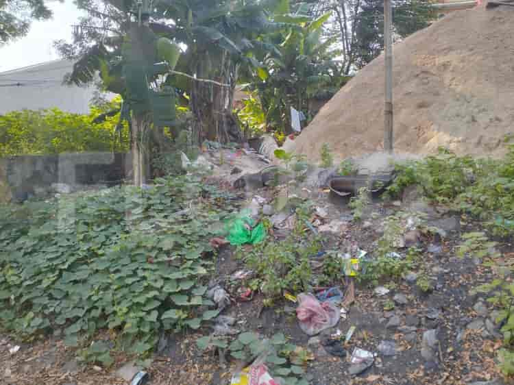
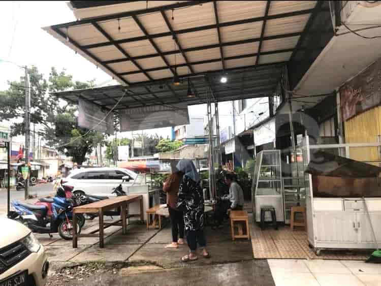
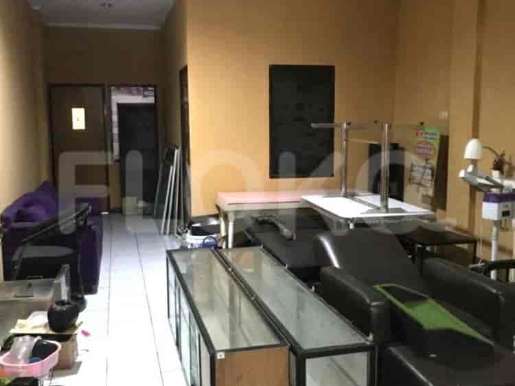
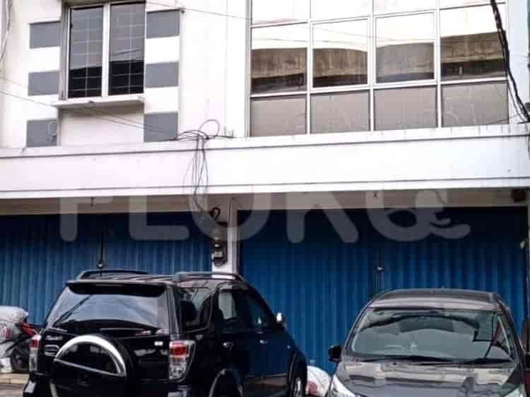
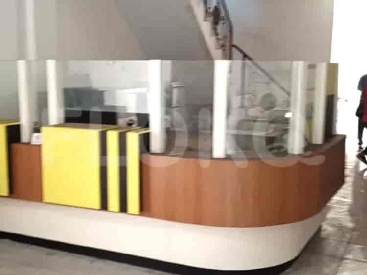
Available units in Bekasi Barat












Nearby Facilities and Services - Bekasi Barat
Bekasi Cyber Park (BCP)Walikota Jakarta Timur Office Area ProximityPuri Sentra NiagaPulo Gadung Industrial EstateGraha IntiWisma Jaya
Grand Kamala LagoonSentra Timur ResidenceMutiara BekasiPatraland Urbano BekasiSpringlake Summarecon BekasiGateway Park LRT City
Summarecon Mall BekasiGrand Cakung MallAEON Mall Jakarta Garden CityMall Cipinang IndahPasar Grosir JatinegaraRawamangun Square
Setiabudi Astra Station MRT StationDukuh Atas MRT StationBundaran HI MRT StationBendungan Hilir MRT StationSenayan Station MRT StationIstora Mandiri MRT Station
Bintara 10 Public Elementary SchoolBintara 3 Public Elementary SchoolSMK Bina MandiriSMKN 1 BekasiStrada Bhakti Wiyata Senior High SchoolStrada Bhakti Wiyata Junior High School
Tri BhaktiBinus University (Bekasi Campus)Mercu Buana University Jatiwaringin CampusKrisnadwipayana UniversityBorobudur UniversityEsa Unggul University
Cakung StationBuaran StationBekasi StationBekasi Timur StationKlender StationJatinegara Train Station
Mitra Keluarga Bekasi Barat HospitalAnanda Hospital BekasiBudi Lestari HospitalResti Mulya Mother and Child HospitalHermina Hospital BekasiHermina Galaxy Hospital
Embassy of the People's Republic of BangladeshBritish Embassy JakartaEmbassy of Brunei DarussalamEmbassy of AustraliaEmbassy of MalaysiaEmbassy of the Kingdom of Saudi Arabia
Kota Bekasi City ParkPondok Kelapa ParkMalaka Sari ParkBulevard Park (Grand Galaxy City)Grand Galaxy ParkTaman Kota Bekasi (Reference point near East Jakarta boundary)
Babelan Bus Stop TransJakarta StationCakung Plaza Bus Stop TransJakarta StationKranji Bus StopGiant Bekasi/Sentra Grosir Cikarang Bus Stop TransJakarta StationPondok Kopi Bus StopKranji Bus Stop TransJakarta Station
Bekasi Barat Toll GateBekasi Barat 2 Toll GateBekasi Barat Toll GateKalimalang Toll GateTol Bekasi Timur (JORR/Cikampek)Tol Bekasi Barat 1 (JORR)
Bintara Sports CenterJati Bening Sports CenterPatriot Candrabhaga StadiumCakung Sports CenterBekasi City Sports ArenaJati Bening Sports Hall
Bekasi Convention CenterGrand Galaxy Convention CenterSavana Convention HallJIExpo KemayoranJakarta International ExpoBalai Kartini
Super IndoGiant Hypermarket Bekasi (various locations)Super IndoSuper IndoHypermart Pondok KopiSuper Indo Kalimalang
See Similar Districts
Sitemap
Index of Apartments for Rent in ProvinceIndex of Apartments for Rent in CityIndex of Apartments for Rent in DistrictIndex of Apartments for Rent in LocalityIndex of Apartments for Rent in AreaIndex of Apartments for RentIndex of Apartments for Rent Near AttractionsIndex of Apartments for Rent by Type Filter
Index of Apartments for Sale in ProvinceIndex of Apartments for Sale in CityIndex of Apartments for Sale in DistrictIndex of Apartments for Sale in LocalityIndex of Apartments for Sale in AreaIndex of Apartments for SaleIndex of Apartments for Sale Near AttractionsIndex of Apartments for Sale by Type Filter
Index of Office BuildingIndex of ProvinceIndex of CityIndex of DistrictIndex of SubdistrictIndex of MallIndex of Mrt StationIndex of SchoolIndex of Train StationIndex of AirportIndex of Embassy And Government OfficeIndex of UniversityIndex of Residential BuildingIndex of HospitalIndex of ParkIndex of Bus StopIndex of Toll GateIndex of Sports Complex StadiumIndex of Convention Exhibition CenterIndex of Supermarket HypermarketIndex of Traditional MarketIndex of Fnb Cluster Lifestyle StreetIndex of Place Of WorshipIndex of Civic Landmark Cultural Icon