Cempaka Putih Timur, Central Jakarta
Cempaka Putih Timur is an administrative village located within the Cempaka Putih district of Central Jakarta, Indonesia. It emerged as a residential area in the 1960s, coinciding with the completion of the Jakarta Bypass, which later became part of the Jakarta Inner Ring Road. This subdistrict is characterized by a blend of dense residential areas and commercial zones along major roads.
Key Highlights
- Cempaka Putih Timur is one of three administrative villages (kelurahan) within the Cempaka Putih district.
- The subdistrict has a postal code of 10510.
- As of 2017, the Kelurahan Cempaka Putih Timur had a population of 16,449 individuals.
- The area has seen significant urban farming initiatives, utilizing vacant land and alleys for cultivating vegetables and fruits, including hydroponics.
- Real estate in Cempaka Putih has shown appreciation, with property investment potentially doubling every two years.
- Portions of Cempaka Putih Timur facing major roads feature business and office areas.
- Recent urban planning efforts in Cempaka Putih Timur include greening initiatives, mural paintings, and improved drainage.
Location & Connectivity
Cempaka Putih Timur is strategically located in Central Jakarta. The wider Cempaka Putih district is bordered by Jenderal Ahmad Yani Bypass Highway to the east, Pramuka Road to the south, Letjend Suprapto Road to the north, and a railway line to the west. The Jakarta Bypass, a significant infrastructure development, contributed to the area's growth. The area is served by various transportation options, including Transjakarta bus services. An MRT East-West line is planned to include a station at Cempaka Putih.
Relevance
Cempaka Putih Timur plays a crucial role as a developed urban residential area within Central Jakarta, offering a mix of housing and commercial activities. Its history is closely tied to the development of major transportation infrastructure like the Jakarta Bypass. The area's urban farming initiatives demonstrate a commitment to sustainable practices and community engagement, providing local food sources and enhancing green spaces. The presence of various facilities and its accessibility contribute to its significance as a self-sufficient subdistrict.
Nearby
Nearby notable locations include the other administrative villages of Cempaka Putih, namely Cempaka Putih Barat and Rawasari. Major roads such as Jenderal Ahmad Yani Bypass Highway, Pramuka Road, and Letjend Suprapto Road are in close proximity. Educational institutions like YARSI University are also located within the Cempaka Putih district. Commercial establishments and services, including BCA bank branches and hotels, are present in the vicinity.
Data Table
| Category | Data |
|---|---|
| POI Type | Subdistrict |
| Postal Code | 10510 |
| Population (as of 2017) | 16,449 |
| Region | Jakarta, Indonesia |
| Administrative City | Central Jakarta City |
| Kelurahan | Cempaka Putih Timur, Cempaka Putih Barat, Rawasari |
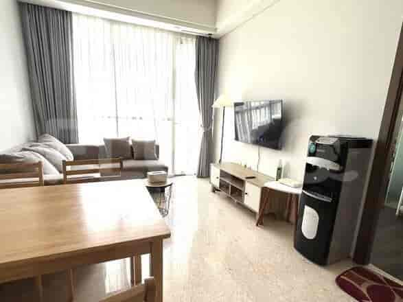
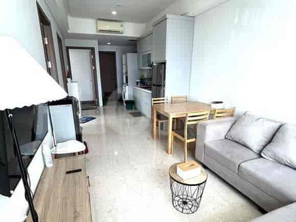
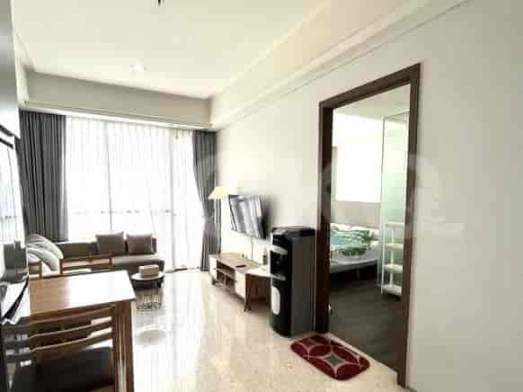
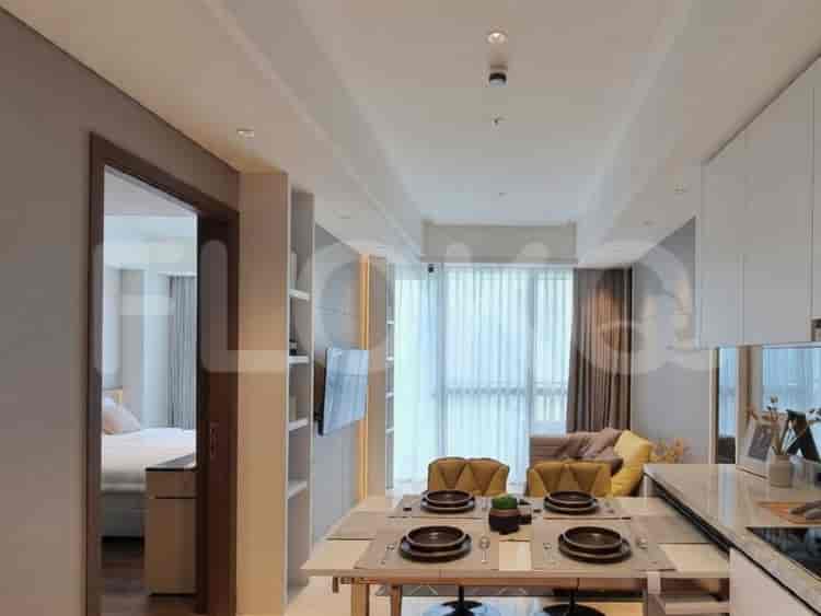
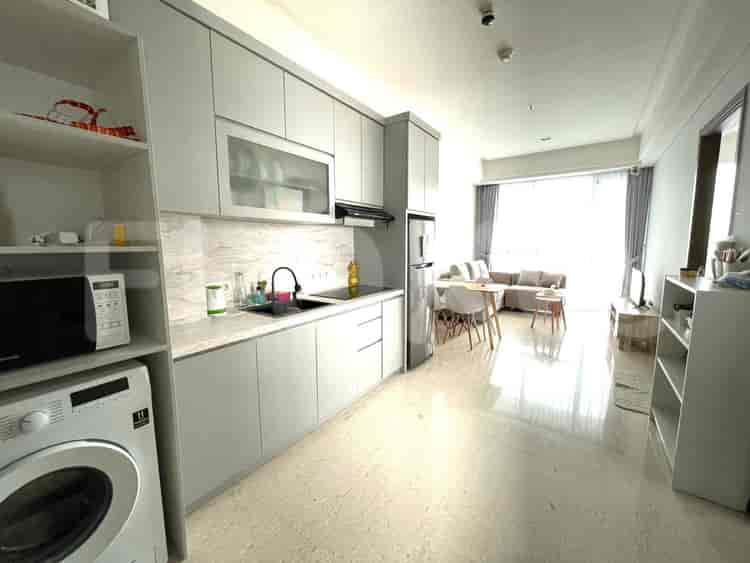
Available units in Cempaka Putih Timur




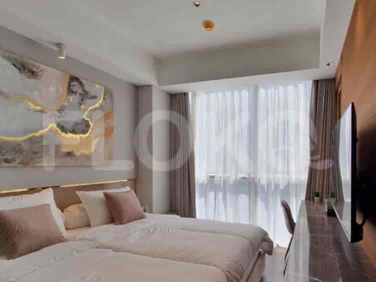
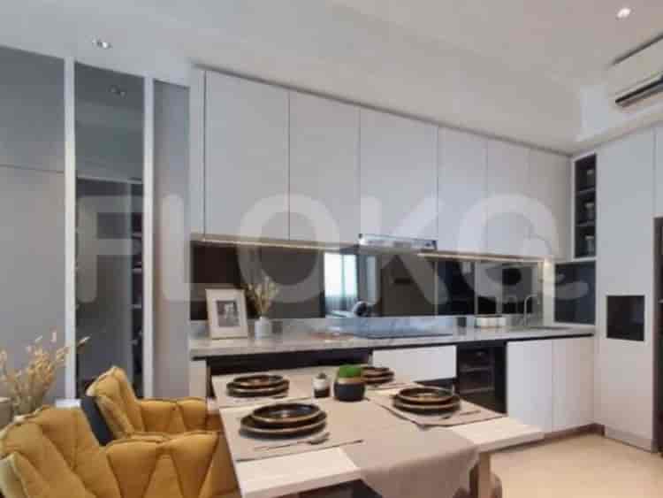
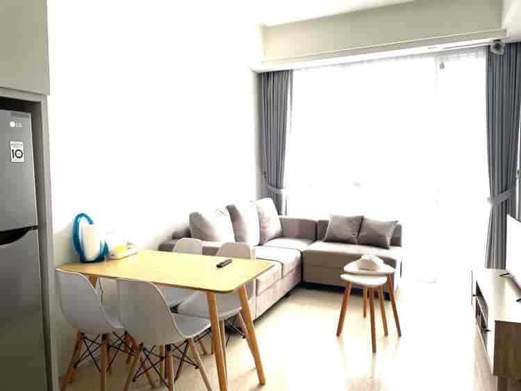
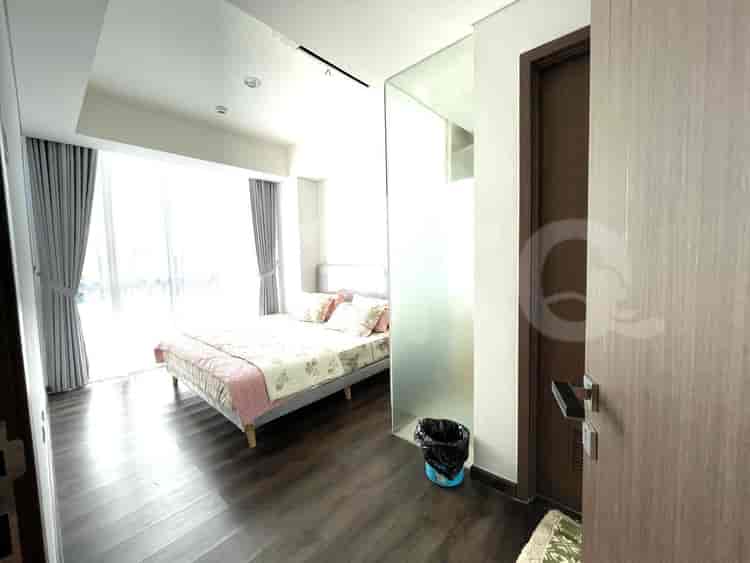


Nearby Facilities and Services - Cempaka Putih Timur
Kharisma BuildingGraha ReksoThe Premiere CorporationKirana Two Office TowerWisma Antara Office TowerBPPT Building
Arandra ResidenceGreen Pramuka City ApartmentTifolia ApartmentCallia ApartmentThe Kensington Royal SuitesGading Mediterania Residences
Bundaran HI MRT StationDukuh Atas MRT StationSetiabudi Astra Station MRT StationBendungan Hilir MRT StationIstora Mandiri MRT StationSenayan Station MRT Station
State Elementary School Cempaka Putih Timur 05 MorningState Elementary School Cempaka Putih Timur 01 MorningState Elementary School Cempaka Putih Timur 18 MorningState Elementary School Cempaka Putih Timur 16 MorningState Elementary School Cempaka Putih Timur 17 MorningState Elementary School Cempaka Putih Timur 15 Morning
Universitas YARSIJakarta State UniversityAkademi Keuangan dan Perbankan YPKP JakartaSTIKES CikiniInstitut Kesenian JakartaJakarta Institute of Arts
Kramat StationSentiong StationPasar Senen Train StationKemayoran StationPondok Jati StationCikini Station
Pertamina Jaya HospitalSukapura Jakarta Islamic HospitalJakarta Islamic Hospital Pondok KopiYarsi HospitalCempaka Putih Regional General HospitalIslam Hospital Cempaka Putih
Ministry of Finance of the Republic of IndonesiaMinistry of Foreign Affairs of the Republic of IndonesiaMinistry of Trade The Apostolic Nunciature to IndonesiaEmbassy of the United States of AmericaEmbassy of Brunei Darussalam
Jalan Cempaka Putih Barat ParketteCempaka Putih Public ParkTaman Pulo MasPulo Gadung ParkMatraman ParkSenen Park
Cempaka Putih Bus StopPulo Mas Bus Stop TransJakarta StationCempaka Putih Permai Bus Stop TransJakarta StationPerintis Kemerdekaan Bus Stop TransJakarta StationCempaka Putih Bus Stop TransJakarta StationRawa Selatan Bus Stop TransJakarta Station
Pulo Mas Toll GateCempaka Putih Toll GatePramuka Toll GateToll Gate Wiyoto Wiyono (Near Kelapa Gading)Sunter Toll GateToll Gate Sunter (Often used by Kelapa Gading residents)
Jakarta International Pulo Mas Equestrian ParkKemayoran Sports ComplexKemayoran Sports ComplexJakarta International Equestrian ParkRawamangun Sports ComplexKemayoran Sports Complex
JIExpo KemayoranJakarta International ExpoJakarta International Expo KemayoranJIExpo KemayoranJIExpo KemayoranJakarta International Expo (JIExpo) Hall D2 (often confused with sports complexes due to large event spaces)
HypermartTransmartSuper Indo Cempaka PutihTransmart Cempaka MasTransmart Cempaka PutihGiant Extra Pulo Gadung
Cempaka Putih Traditional MarketPulo Mas MarketCempaka Putih Barat MarketCempaka Putih MarketCempaka Putih Traditional MarketPasar Pagi Kelapa Gading
See Similar Subdistricts
Sitemap
Index of Apartments for Rent in ProvinceIndex of Apartments for Rent in CityIndex of Apartments for Rent in DistrictIndex of Apartments for Rent in LocalityIndex of Apartments for Rent in AreaIndex of Apartments for RentIndex of Apartments for Rent Near AttractionsIndex of Apartments for Rent by Type Filter
Index of Apartments for Sale in ProvinceIndex of Apartments for Sale in CityIndex of Apartments for Sale in DistrictIndex of Apartments for Sale in LocalityIndex of Apartments for Sale in AreaIndex of Apartments for SaleIndex of Apartments for Sale Near AttractionsIndex of Apartments for Sale by Type Filter
Index of Office BuildingIndex of ProvinceIndex of CityIndex of DistrictIndex of SubdistrictIndex of MallIndex of Mrt StationIndex of SchoolIndex of Train StationIndex of AirportIndex of Embassy And Government OfficeIndex of UniversityIndex of Residential BuildingIndex of HospitalIndex of ParkIndex of Bus StopIndex of Toll GateIndex of Sports Complex StadiumIndex of Convention Exhibition CenterIndex of Supermarket HypermarketIndex of Traditional MarketIndex of Fnb Cluster Lifestyle StreetIndex of Place Of WorshipIndex of Civic Landmark Cultural Icon