Bendungan Hilir: A Strategic Subdistrict in Central Jakarta
Bendungan Hilir, often abbreviated as Benhil, is an administrative village (kelurahan) within the Tanah Abang district of Central Jakarta, Indonesia. It is recognized as a dynamic and strategic urban ecosystem within the heart of Central Jakarta. Historically, Bendungan Hilir was associated with water management, and it has evolved into a densely populated residential area alongside public and commercial facilities. The area is particularly known for its culinary offerings, including the renowned Pasar Benhil and various street food vendors, especially during Ramadan.
Key Highlights
- Bendungan Hilir is an administrative village (kelurahan) located in the Tanah Abang district of Central Jakarta.
- As of 2013, it had a population of 20,025 people.
- The subdistrict covers a total area of 1.58 km².
- Bendungan Hilir is a transit-oriented development (TOD) zone, designated as a 'Regeneration Transition Node' by MRT Jakarta.
- The area is well-known for its diverse culinary scene and as a popular spot for street food, particularly during the month of Ramadan.
- It is bordered by major roads such as Jalan Jenderal Sudirman and Jalan Jenderal Gatot Subroto.
- Public transportation options include TransJakarta bus stops, MRT services, and local angkot (mikrotrans).
Location & Connectivity
Bendungan Hilir is strategically located in Central Jakarta, directly adjacent to the Sudirman-Thamrin Central Business District (CBD), offering convenient access for professionals. Major roads bordering the area include Jalan Jenderal Sudirman to the south and Jalan Jenderal Gatot Subroto to the west. The subdistrict is served by several public transportation options. TransJakarta bus stops are available on Jalan Sudirman, including the Bendungan Hilir stop. The Bendungan Hilir MRT station is also located along Jalan Jenderal Sudirman, providing metro access. Additionally, local public transportation such as mikrotrans (JAK-08: Roxy - Benhil) operates in the area, connecting it to places like Tanah Abang Station and Thamrin City Mall. Walkability in Bendungan Hilir is high, with a Walk Score of 96 out of 100 for some areas, indicating that daily errands do not require a car.
Relevance
Bendungan Hilir plays a significant role in Jakarta's urban fabric as a 'Regeneration Transition Node' within the MRT Jakarta's Transit-Oriented Development (TOD) zones. Its strategic location bordering the Sudirman-Thamrin CBD makes it a vital residential and commercial area. The subdistrict acts as a lively urban ecosystem, known for its mix of residential areas, public facilities, and commercial activities. The development of new housing and infrastructure, particularly after Indonesia's independence, has contributed to its current urban landscape.
Nearby
Bendungan Hilir is surrounded by several notable areas and landmarks. To the north, it borders the Petamburan administrative village, and to the west, it is adjacent to the Gelora administrative village, near the Gelora Bung Karno sport complex. Karet Tengsin and Kebon Melati administrative villages are located to the east and northeast, respectively, separated by Kali Krukut and Kanal Banjir Barat. Jalan Jenderal Sudirman, a major thoroughfare, forms its southern boundary, connecting it to Karet Semanggi in South Jakarta. The area is in proximity to key Jakarta landmarks and commercial centers, including Plaza Semanggi and the Semanggi Interchange. The Mintohardjo Navy Hospital is a prominent facility within Bendungan Hilir.
Data Table
| Category | Data |
|---|---|
| Total Area | 1.58 km² (0.61 sq mi) |
| Population (2013) | 20,025 |
| Population Density (2013) | 12,674/km² (32,830/sq mi) |
| Number of RT (Rukun Tetangga) | 124 (123 as of 2018/2022) |
| Number of RW (Rukun Warga) | 9 |
| Postal Code | 10210 |
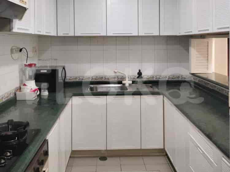
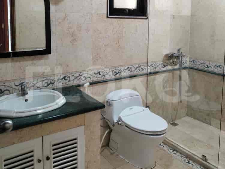
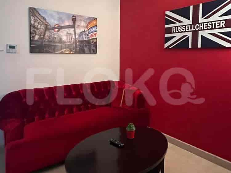
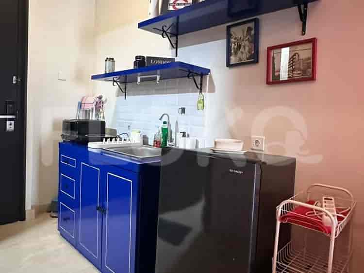
Available units in Bendungan Hilir





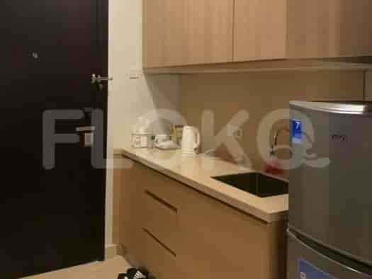

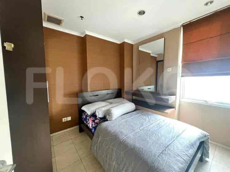
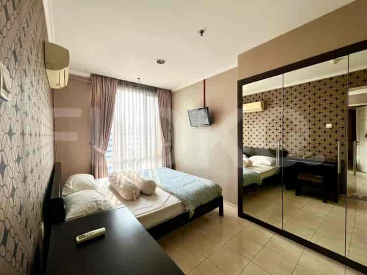
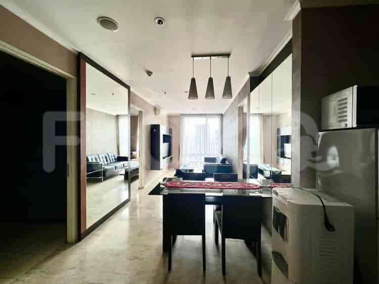
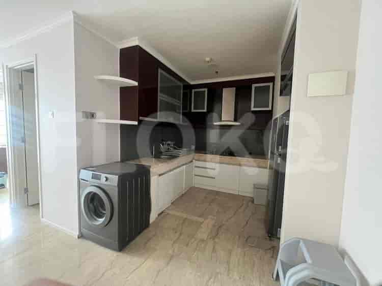

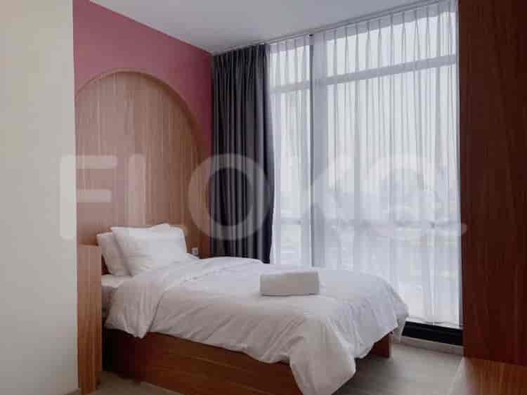

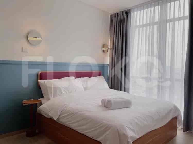

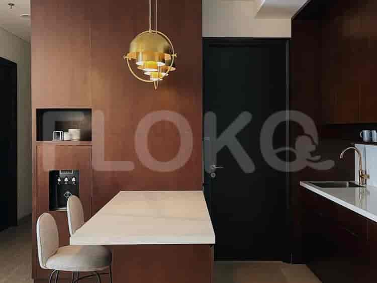
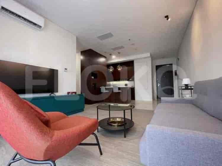

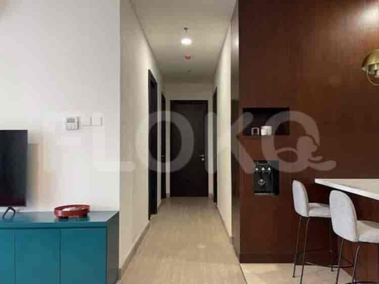

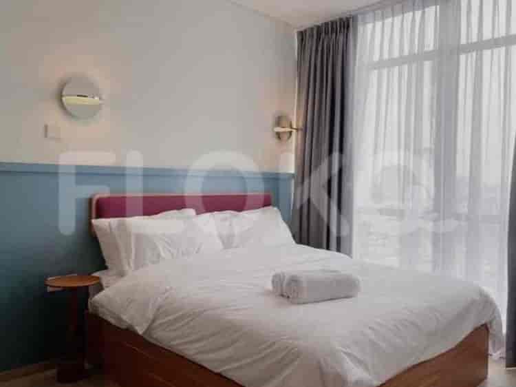
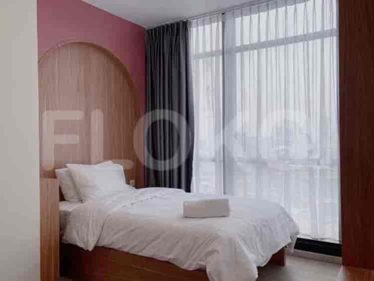
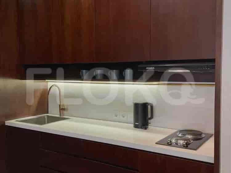
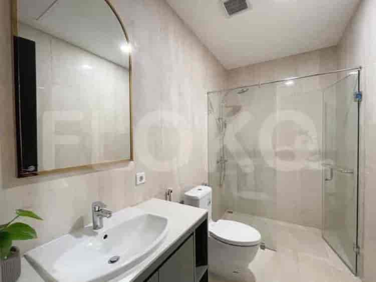


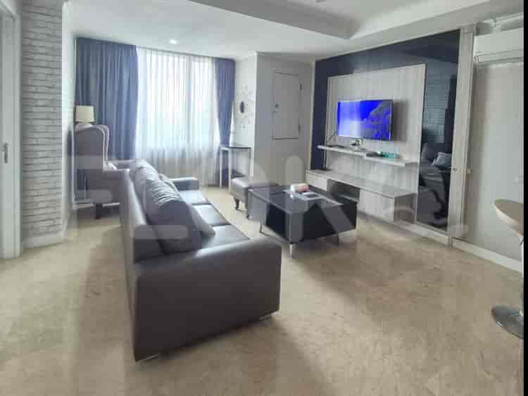
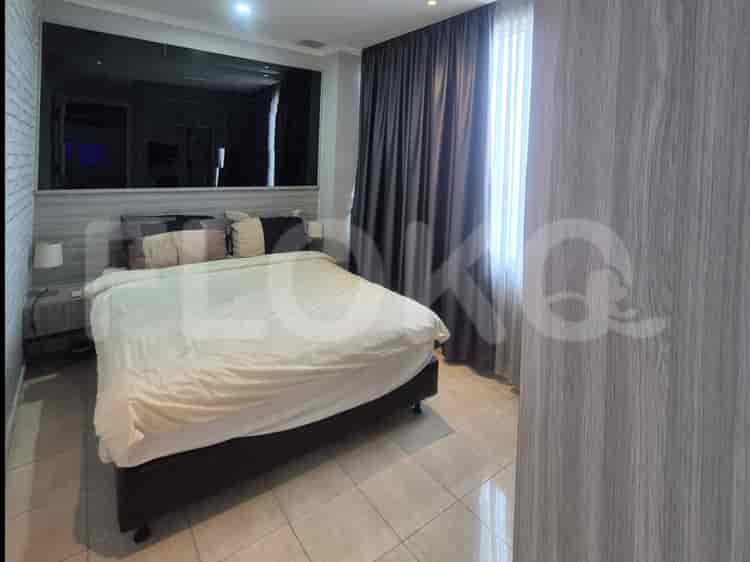
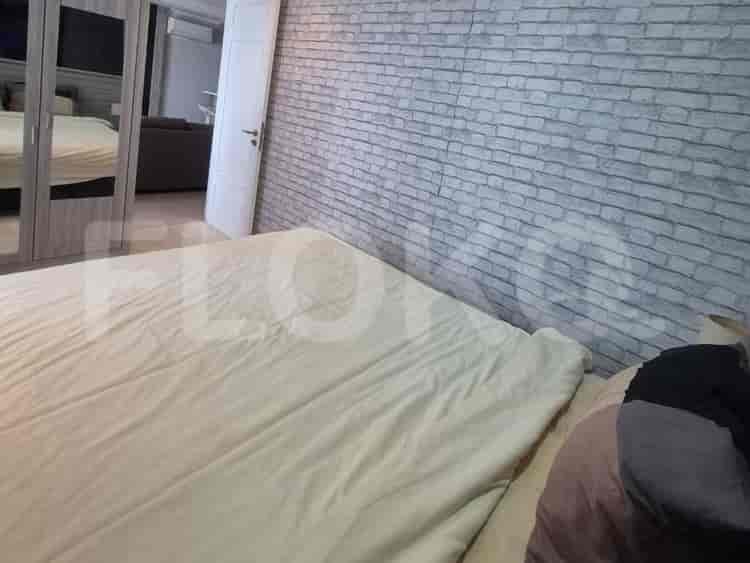
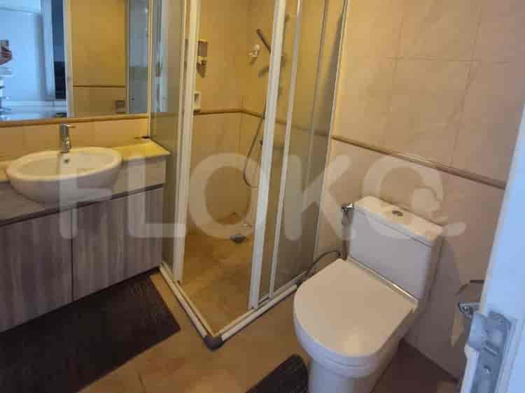
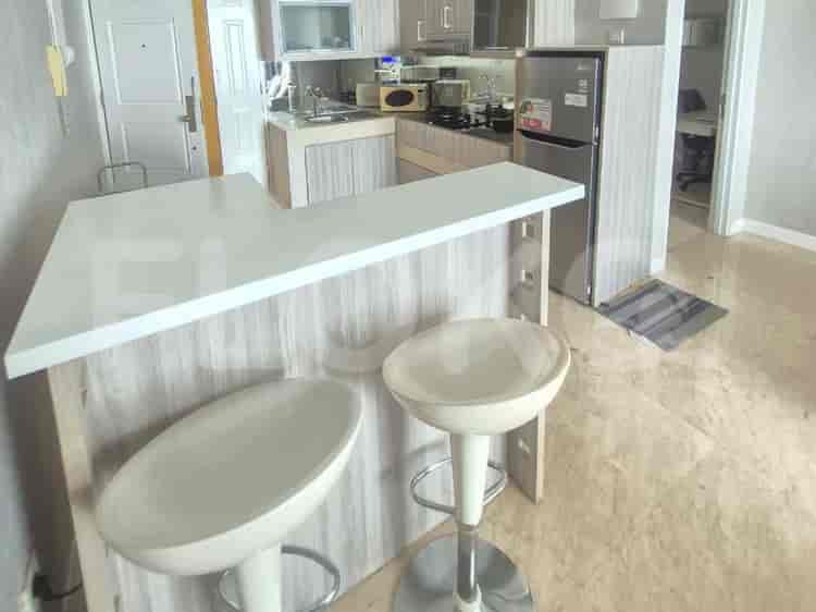

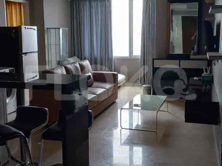
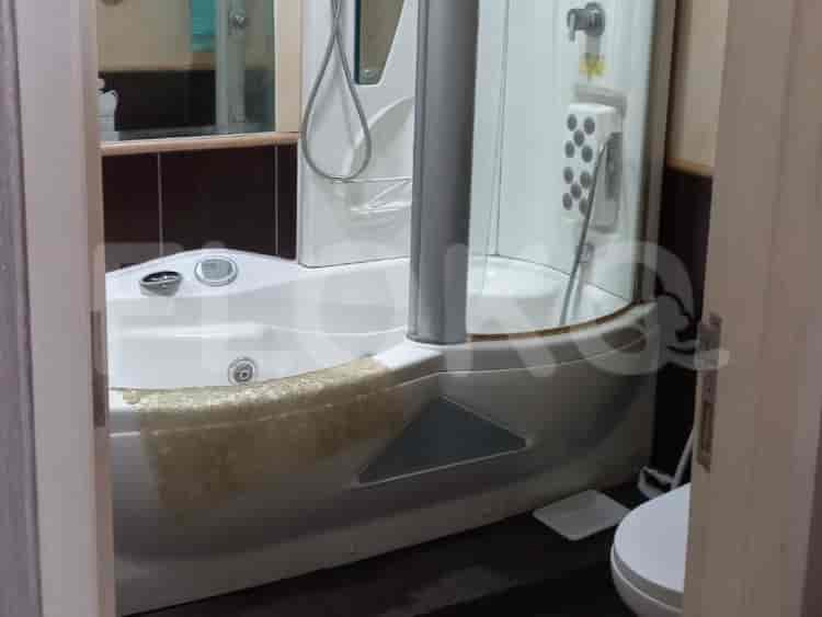

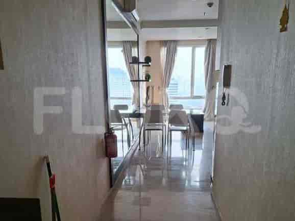
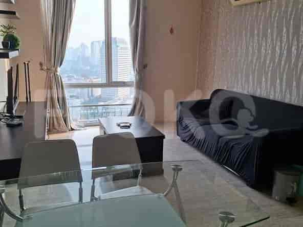

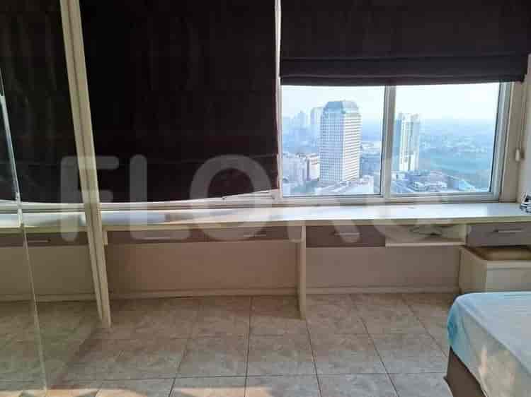
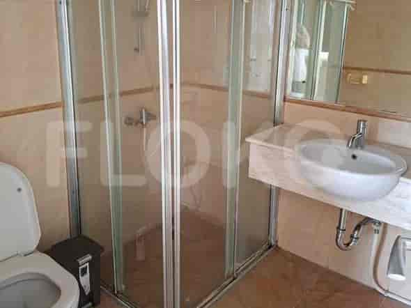
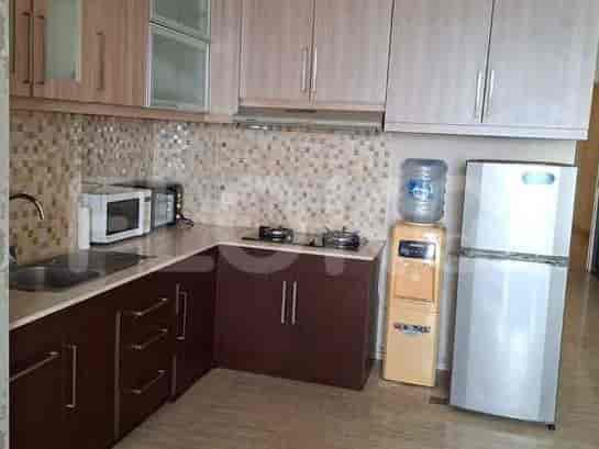
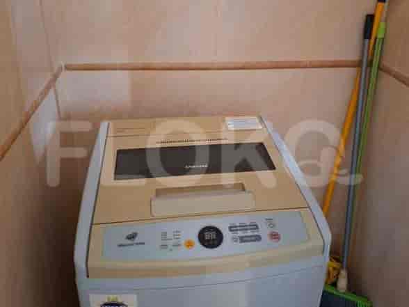

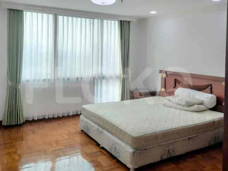



Nearby Facilities and Services - Bendungan Hilir
Batavia TowerWisma Bisnis IndonesiaTCC Batavia Tower OneWisma GKBISahid Sudirman CenterIntiland Tower
Park Royal ApartmentBatavia ApartmentSudirman Hill ResidencesSudirman Park ApartmentCity Lofts ApartmentIstana Sahid Apartment
Bendungan Hilir MRT StationIstora Mandiri MRT StationSetiabudi Astra Station MRT StationDukuh Atas MRT StationSenayan Station MRT StationBundaran HI MRT Station
State Elementary School Bendungan Hilir 09 MorningState Elementary School Bendungan Hilir 17 MorningState Elementary School Bendungan Hilir 16 MorningState Elementary School Bendungan Hilir 14 MorningState Elementary School Bendungan Hilir 13 MorningState Elementary School Bendungan Hilir 10 Morning
LSPR (The London School of Public Relations) Cempaka Putih CampusLondon School of Public RelationsAtma Jaya Catholic University of IndonesiaAtma Jaya Catholic University of IndonesiaBINUS International University, JWC CampusPerbanas Institute
Tanah Abang Train StationPalmerah StationKaret StationSudirman StationGondangdia StationCikini Station
Dr. Mintohardjo Naval HospitalTanah Abang Regional General HospitalBhakti Mulia HospitalSahid Sahirman Memorial HospitalAINI Eye HospitalJakarta Hospital
Embassy of MozambiqueGambia Honorary Consulate General in JakartaEmbassy of FijiEmbassy of the Republic of the SudanDelegation of the European Union to Indonesia and Brunei DarussalamEmbassy of Canada
Taman PejomponganHyppe Green ParkGatot Subroto Park (near the border/major intersection)Setiabudi ParkTaman Kota Bambu Selatan ParkTaman Suropati
Tanah Abang Bus StopPejompongan TransJakarta StationJDC (Jalur Depan Ciledug) Bus Stop TransJakarta StationKaret Bivak Bus StopPalmerah Bus Stop TransJakarta StationGBK Bus Stop
Pejompongan Toll GateSlipi Toll GateSemanggi Toll GateToll Gate SlipiSlipi 2 Toll GateSenayan Toll Gate
Gelora Sports Complex AreaGelora Bung Karno Aquatic CenterGBK Aquatic CenterJalan Jenderal Sudirman Indoor ArenaGelora Bung Karno Sports ComplexGelora Bung Karno Sports Complex
JCC SenayanJakarta Convention CenterKartini Exhibition HallBalai KartiniJIExpo KemayoranJakarta International Expo
Ranch Market Senayan CitySuper IndoHypermartSuper IndoKem Chicks Pacific Place (While technically not in Kemang proper, it's often referenced for South Jakarta residents)Hypermart
Pejompongan MarketKaret Tengsin MarketKaret Bivak MarketBendungan Hilir MarketPalmerah MarketPasar Palmerah Area
See Similar Subdistricts
Sitemap
Index of Apartments for Rent in ProvinceIndex of Apartments for Rent in CityIndex of Apartments for Rent in DistrictIndex of Apartments for Rent in LocalityIndex of Apartments for Rent in AreaIndex of Apartments for RentIndex of Apartments for Rent Near AttractionsIndex of Apartments for Rent by Type Filter
Index of Apartments for Sale in ProvinceIndex of Apartments for Sale in CityIndex of Apartments for Sale in DistrictIndex of Apartments for Sale in LocalityIndex of Apartments for Sale in AreaIndex of Apartments for SaleIndex of Apartments for Sale Near AttractionsIndex of Apartments for Sale by Type Filter
Index of Office BuildingIndex of ProvinceIndex of CityIndex of DistrictIndex of SubdistrictIndex of MallIndex of Mrt StationIndex of SchoolIndex of Train StationIndex of AirportIndex of Embassy And Government OfficeIndex of UniversityIndex of Residential BuildingIndex of HospitalIndex of ParkIndex of Bus StopIndex of Toll GateIndex of Sports Complex StadiumIndex of Convention Exhibition CenterIndex of Supermarket HypermarketIndex of Traditional MarketIndex of Fnb Cluster Lifestyle StreetIndex of Place Of WorshipIndex of Civic Landmark Cultural Icon