Petamburan: A Central Subdistrict in Tanah Abang, Jakarta
Petamburan is an administrative village, or kelurahan, located within the Tanah Abang district of Central Jakarta, part of the larger Jabodetabek region in Indonesia. It is characterized by its high population density and plays a significant role in the urban fabric of Jakarta.
Key Highlights
- Petamburan has a total area of 0.90 km² (0.35 sq mi).
- As of 2019, the subdistrict had a population of 32,946 residents.
- The population density of Petamburan was approximately 36,606 people/km² in 2019.
- Petamburan is part of the Tanah Abang district, which is situated in Central Jakarta.
- The subdistrict is traversed by the West Flood Canal and the Serpong-Jakarta railway line.
- Petamburan is one of the most densely populated subdistricts in Tanah Abang.
- The Petamburan Cemetery, established in 1816, is recognized as the oldest functioning public cemetery in Jakarta.
Location & Connectivity
Petamburan is strategically located in Central Jakarta, bordered by West Jakarta to the north and west, Kebon Melati to the east, and Bendungan Hilir to the south. The subdistrict is accessible via major roads and public transportation. Several TransJakarta bus routes (including JAK11, JAK12, M38, JAK14, JAK54) and commuter train lines (LINGKAR CIKARANG LINE, RANGKAS BITUNG LINE) serve the area, with bus stops and the Tanah Abang train station within proximity. Main roads like Jl. KS Tubun provide vehicular access.
Facilities
Due to its urban nature, outdoor spaces in Petamburan often serve as both pedestrian paths and communal areas, reflecting the dense housing conditions. The area is home to the historical Petamburan Cemetery, which contains notable mausoleums and tombs from the Dutch colonial era, including the O.G. Khouw mausoleum, known for its Art Deco style and as one of the largest in Southeast Asia.
Relevance
Petamburan functions as a residential hub within Central Jakarta, accommodating a diverse population with various ethnicities, including Javans, Sundans, Bataks, Minangkabau, and Chinese peoples. Its high population density and central location contribute to its significance as a vibrant urban quarter. The subdistrict's zoning falls under Jakarta's detailed spatial plans (RDTR), which designate density zones (e.g., "very dense," "dense," "less dense," "not dense") and guide development parameters like Floor Area Ratio (FAR) and Building Coverage Ratio (BCR).
Nearby
Petamburan is surrounded by other administrative villages, including Kota Bambu to the north, Kebon Melati to the east, Bendungan Hilir to the south, and Slipi to the west. Nearby points of interest and accessibility to other parts of Jakarta are facilitated by its proximity to major transportation arteries and various urban facilities across the wider Central and West Jakarta areas. For example, the Grogol Petamburan district (in West Jakarta), while distinct, contains major malls like Ciputra, Taman Anggrek, and Central Park, as well as universities such as Tarumanegara and Trisakti.
Data Table
| Category | Data | Year |
|---|---|---|
| Area | 0.90 km² | - |
| Population | 32,946 | 2019 |
| Population Density | 36,606/km² | 2019 |
| Postal Code | 10260 | - |
Available units in Petamburan


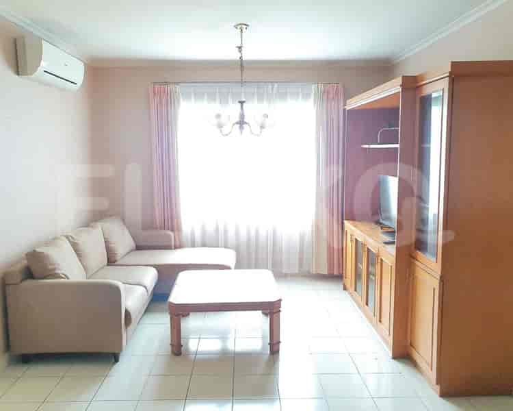


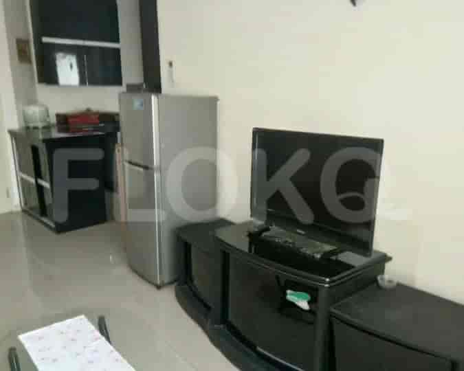


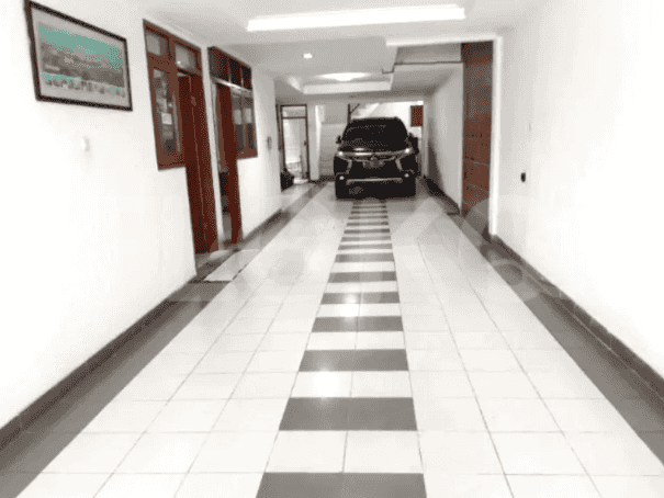


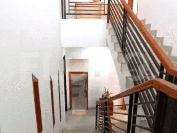





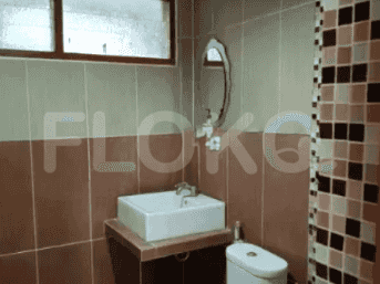


Nearby Facilities and Services - Petamburan
Cosmo Terrace Thamrin Executive ResidenceThamrin Residence ApartmentCosmo Mansion Casa Domaine ApartmentAscott Apartment
Dukuh Atas MRT StationBundaran HI MRT StationSetiabudi Astra Station MRT StationBendungan Hilir MRT StationIstora Mandiri MRT StationSenayan Station MRT Station
Aisyiyah Bustanul Athfal 40 Kindergarten PetamburanPertiwi 01 Kindergarten PetamburanNurul Huda Islamic Senior High School PetamburanNurul Huda Islamic Junior High School PetamburanSDN Petamburan 02 PagiSDN Petamburan 01 Pagi
LSPR (The London School of Public Relations) Cempaka Putih CampusLondon School of Public RelationsBinus University AreaJakarta International CollegeBinus University Syahdan CampusAtma Jaya Catholic University of Indonesia
Tanah Abang Train StationKaret StationPalmerah StationSudirman StationGondangdia StationGambir Train Station
Bhakti Mulia HospitalTanah Abang Regional General HospitalDharmais Cancer HospitalHarapan Kita National Heart CenterHarapan Kita Mother and Child HospitalPort Hospital Jakarta
Solomon Islands Consulate General in JakartaEmbassy of JapanEmbassy of the Federal Republic of GermanyEmbassy of BelgiumEmbassy of the Democratic Republic of Timor LesteEmbassy of France
Taman PejomponganTaman Kota Bambu Selatan ParkTaman CattleyaHyppe Green ParkTaman Anggrek (Orchid Park)Tomang Park
Rachmat Hidayat Street Bus Stop TransJakarta StationTanah Abang Bus StopJDC (Jalur Depan Ciledug) Bus Stop TransJakarta StationSlipi Junction Bus Stop TransJakarta StationCitywalk Mall Bus Stop TransJakarta StationBlok G Tanah Abang Bus Stop TransJakarta Station
Slipi 2 Toll GateSlipi 1 Toll GateToll Gate SlipiSlipi Toll GatePejompongan Toll GateTomang Toll Gate
Kemanggisan Sports CenterSarinah Sports ArenaGelora Sports Complex AreaGelora Bung Karno Aquatic CenterGBK Aquatic CenterGBK Basketball Hall
JCC SenayanJakarta Convention CenterKartini Exhibition HallBalai KartiniJIExpo KemayoranJakarta International Expo
Tanah Abang MarketSlipi MarketTanah Abang MarketTanah Abang MarketPejompongan MarketKaret Bivak Market
See Similar Subdistricts
Sitemap
Index of Apartments for Rent in ProvinceIndex of Apartments for Rent in CityIndex of Apartments for Rent in DistrictIndex of Apartments for Rent in LocalityIndex of Apartments for Rent in AreaIndex of Apartments for RentIndex of Apartments for Rent Near AttractionsIndex of Apartments for Rent by Type Filter
Index of Apartments for Sale in ProvinceIndex of Apartments for Sale in CityIndex of Apartments for Sale in DistrictIndex of Apartments for Sale in LocalityIndex of Apartments for Sale in AreaIndex of Apartments for SaleIndex of Apartments for Sale Near AttractionsIndex of Apartments for Sale by Type Filter
Index of Office BuildingIndex of ProvinceIndex of CityIndex of DistrictIndex of SubdistrictIndex of MallIndex of Mrt StationIndex of SchoolIndex of Train StationIndex of AirportIndex of Embassy And Government OfficeIndex of UniversityIndex of Residential BuildingIndex of HospitalIndex of ParkIndex of Bus StopIndex of Toll GateIndex of Sports Complex StadiumIndex of Convention Exhibition CenterIndex of Supermarket HypermarketIndex of Traditional MarketIndex of Fnb Cluster Lifestyle StreetIndex of Place Of WorshipIndex of Civic Landmark Cultural Icon