Karet Semanggi: A Subdistict in South Jakarta
Karet Semanggi is an administrative village (kelurahan) located within the Setiabudi district of South Jakarta, Indonesia. It is situated in the Jabodetabek region and forms part of Jakarta's Golden Triangle, a significant commercial and business hub. This subdistrict serves as a key area within the Setiabudi district, contributing to the urban landscape and connectivity of South Jakarta.
Key Highlights
- Karet Semanggi is one of eight kelurahans within the Setiabudi district.
- As of the 2010 Census, Karet Semanggi had a population of 3,738 residents.
- The subdistrict covers an area of approximately 0.90 km².
- Karet Semanggi is identified by the postal code 12930.
- It is bordered by major roads such as Jl. Prof. Dr. Satrio, Jl. KH. Guru Mughni (formerly Jl. Karet Kuningan), Jl. Jendral Gatot Subroto, and Jl. Jendral Sudirman.
- The area is part of the Golden Triangle of Jakarta, a central business and commercial area.
Location & Connectivity
Karet Semanggi is strategically positioned in South Jakarta, offering access to key thoroughfares. It is bordered by Jl. Prof. Dr. Satrio to the north, Jl. KH. Guru Mughni (formerly Jl. Karet Kuningan) to the east, Jl. Jendral Gatot Subroto to the south, and Jl. Jendral Sudirman to the west. The area is well-served by public transportation, with nearby bus stops including Satrio 5, Karet Pedurenan 1, and Semanggi 4. The Istora Mandiri metro station is also within walking distance. Several bus lines connect to Karet Semanggi, including M44, 5F, 6D, 6K, JAK48A, TRANSJABODETABEK BEKASI - TANAH ABANG, TRANSJABODETABEK CIAWI - TANAH ABANG, 6B, 6M, 7R, 9, 9A, 9C, and M9.
Facilities
Karet Semanggi is a predominantly urban subdistrict with a mix of commercial and residential developments. It is home to various establishments, including office towers like Centennial Tower, and residential apartments such as Ascott Sudirman Jakarta and Citadines Sudirman Jakarta. Major roads defining its borders also indicate a developed infrastructure.
Relevance
Karet Semanggi plays a crucial role in Jakarta's urban fabric due to its location within the Golden Triangle, a significant business and commercial center. Its development, along with neighboring areas in Setiabudi, has contributed to the growth of upscale residential and commercial zones in South Jakarta. The subdistrict's connectivity through major roads and public transport lines further enhances its urban relevance, facilitating movement and economic activity within the wider Jabodetabek region.
Nearby
Karet Semanggi is surrounded by several notable areas and roads. To its north is the Karet subdistrict, to its east is Karet Kuningan, to its south is Senayan, and to its west is Bendungan Hilir. Key nearby roads include Jalan Prof. Dr. Satrio, Jalan Jenderal Gatot Subroto, and Jalan Jenderal Sudirman. The wider Setiabudi district, where Karet Semanggi is located, includes other kelurahans such as Setiabudi, Karet, Karet Kuningan, Kuningan Timur, Menteng Atas, Pasar Manggis, and Guntur.
Data Table
| Category | Data |
|---|---|
| POI Type | Subdistrict (Kelurahan) |
| Region | Jabodetabek, Indonesia |
| City | South Jakarta |
| District | Setiabudi |
| Total Area | 0.90 km² |
| Population (2010 Census) | 3,738 |
| Postal Code | 12930 |
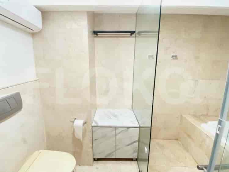
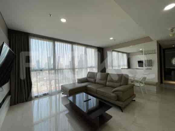
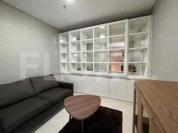
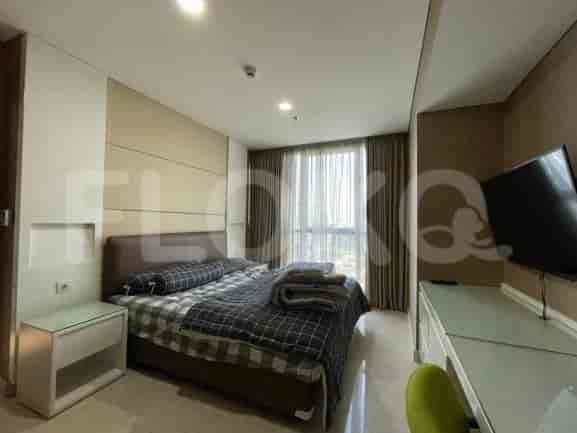
Available units in Karet Semanggi


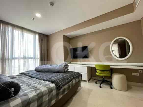
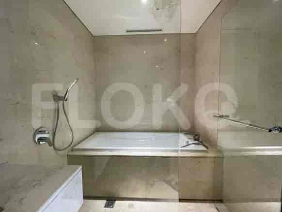
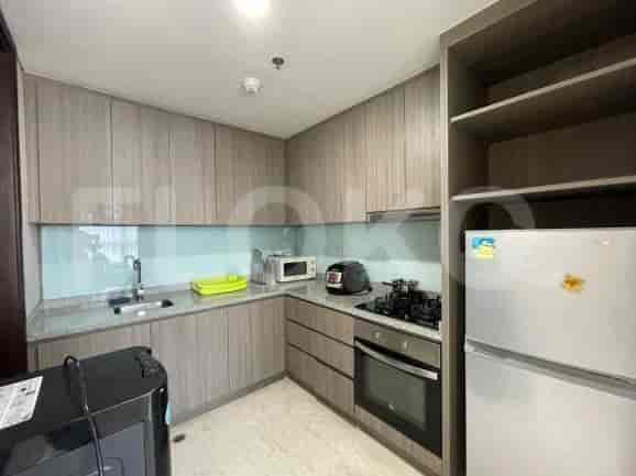
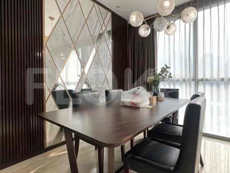
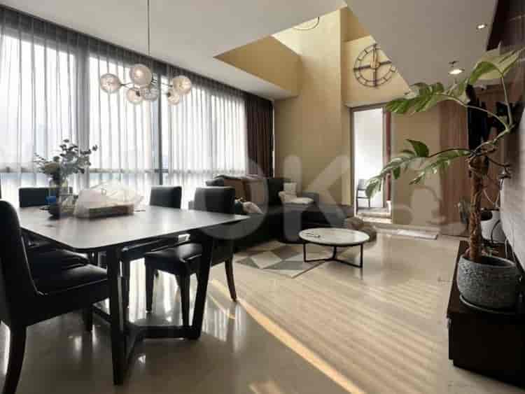
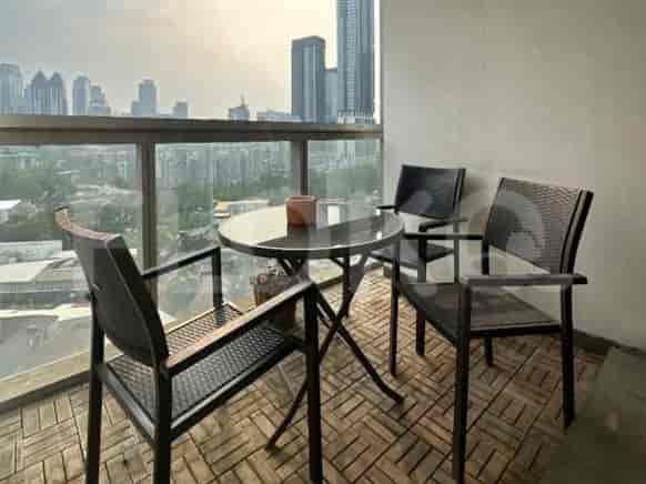
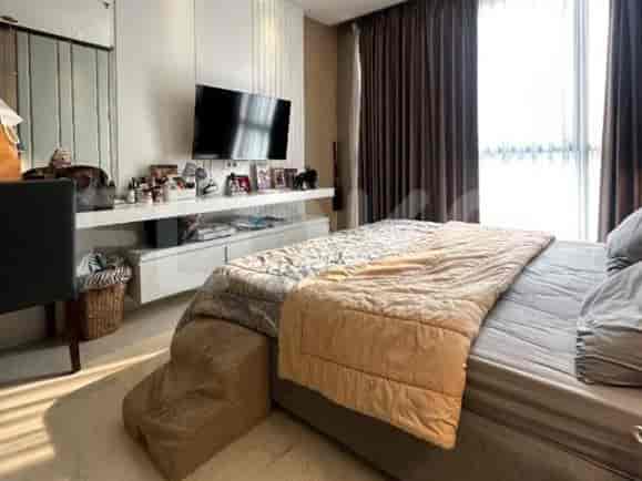
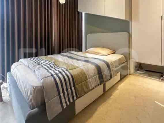
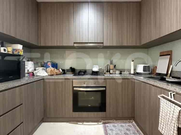
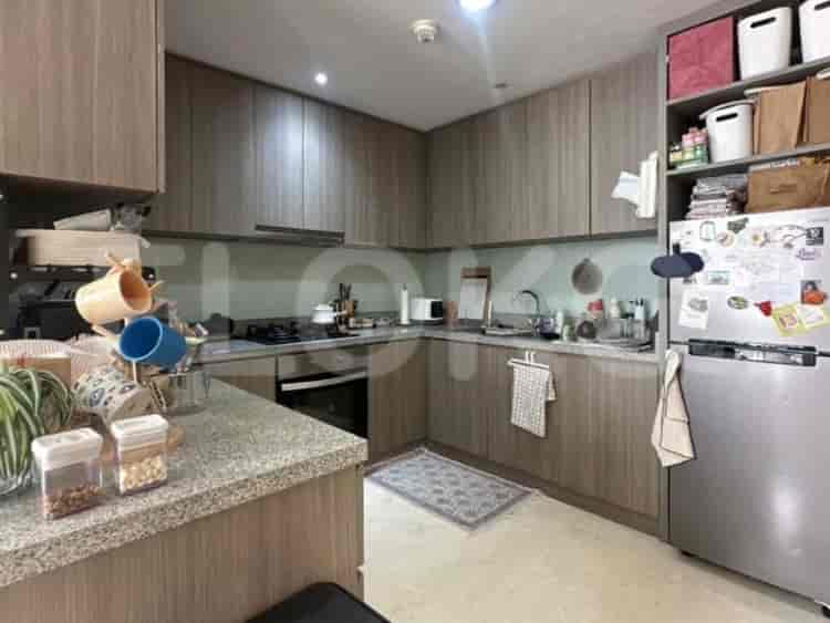
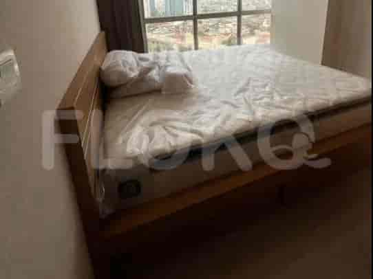
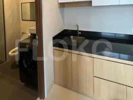
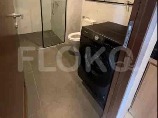


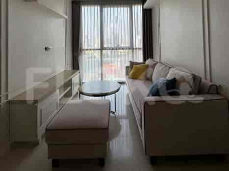
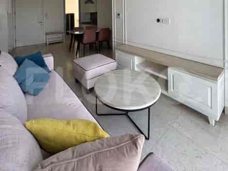
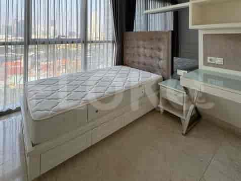
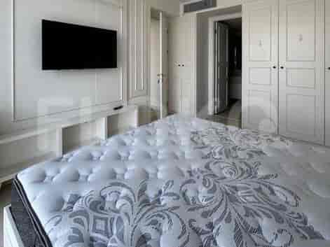
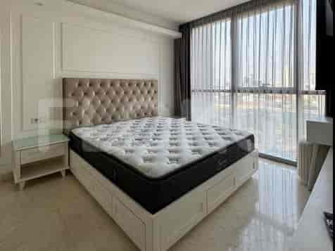
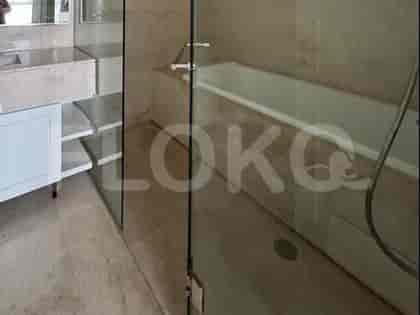
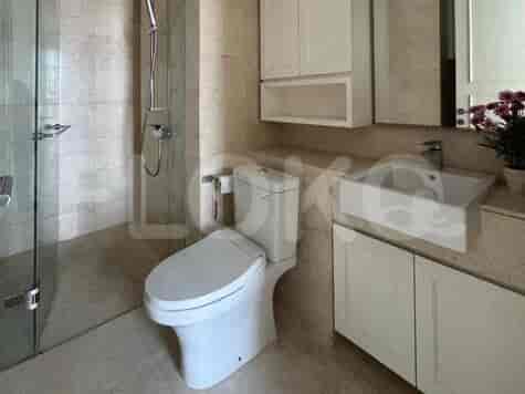
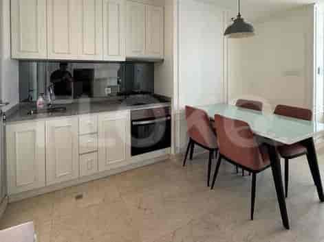
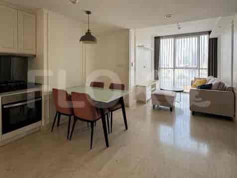


Nearby Facilities and Services - Karet Semanggi
Sudirman Tower AAIA CentralThe Tower by Alam SuteraEmbassy of the Republic of EcuadorStandard Chartered TowerWisma GKBI
Pearl Garden ApartmentCiputra World 2 ApartmentSudirman Suites JakartaTamansari Semanggi ApartmentSCBD SuitesThe Capital Residence
Bendungan Hilir MRT StationIstora Mandiri MRT StationSenayan Station MRT StationSetiabudi Astra Station MRT StationDukuh Atas MRT StationBlok M MRT Station
State Elementary School Senayan 17 MorningState Elementary School Senayan 14 MorningState Elementary School Senayan 12 MorningState Elementary School Senayan 13 MorningState Elementary School Senayan 10 MorningState Elementary School Senayan 11 Morning
Atma Jaya Catholic University of IndonesiaAtma Jaya Catholic University of IndonesiaPerbanas InstituteLSPR (The London School of Public Relations) Cempaka Putih CampusLondon School of Public RelationsUniversitas Bakrie
Sudirman StationKaret StationTanah Abang Train StationPalmerah StationCikini StationManggarai Station
MRCCC Siloam Hospitals SemanggiJakarta HospitalAINI Eye HospitalDr. Mintohardjo Naval HospitalSahid Sahirman Memorial HospitalSetiabudi Regional General Hospital
Gambia Honorary Consulate General in JakartaEmbassy of MozambiqueEmbassy of CanadaEmbassy of IrelandEmbassy of the Republic of the SudanEmbassy of Fiji
Gatot Subroto Park (near the border/major intersection)Hyppe Green ParkSetiabudi ParkTaman Patra KuninganTaman PejomponganTaman Menteng Pulo
Semanggi Interchange Bus Stop TransJakarta StationKaret Busway Stop (Near West Side) TransJakarta StationSetiabudi Office Tower Bus Stop TransJakarta StationPertigaan Jalan Senopati Bus StopGatot Subroto Jamsostek Bus StopGatot Subroto Jamsostek Bus Stop TransJakarta Station
Semanggi Toll GateSenayan Toll GateGrogol Toll GatePejompongan Toll GateSlipi Toll GateBlok M Toll Gate
Jalan Jenderal Sudirman Indoor ArenaIstora Gelora Bung KarnoGBK Aquatic CenterGelora Bung Karno Aquatic CenterGBK (Gelora Bung Karno) Area Proximity ReferenceGelora Bung Karno Sports Complex
JCC SenayanJakarta Convention CenterBalai KartiniKartini Exhibition HallJIExpo KemayoranJakarta International Expo
Super IndoKem Chicks Pacific Place (While technically not in Kemang proper, it's often referenced for South Jakarta residents)Super IndoGrandLuckyGrand LuckySuper Indo Senopati
Karet Kuningan MarketBendungan Hilir MarketKaret MarketKaret Bibus MarketSetiabudi MarketKuningan Timur Market
See Similar Subdistricts
Sitemap
Index of Apartments for Rent in ProvinceIndex of Apartments for Rent in CityIndex of Apartments for Rent in DistrictIndex of Apartments for Rent in LocalityIndex of Apartments for Rent in AreaIndex of Apartments for RentIndex of Apartments for Rent Near AttractionsIndex of Apartments for Rent by Type Filter
Index of Apartments for Sale in ProvinceIndex of Apartments for Sale in CityIndex of Apartments for Sale in DistrictIndex of Apartments for Sale in LocalityIndex of Apartments for Sale in AreaIndex of Apartments for SaleIndex of Apartments for Sale Near AttractionsIndex of Apartments for Sale by Type Filter
Index of Office BuildingIndex of ProvinceIndex of CityIndex of DistrictIndex of SubdistrictIndex of MallIndex of Mrt StationIndex of SchoolIndex of Train StationIndex of AirportIndex of Embassy And Government OfficeIndex of UniversityIndex of Residential BuildingIndex of HospitalIndex of ParkIndex of Bus StopIndex of Toll GateIndex of Sports Complex StadiumIndex of Convention Exhibition CenterIndex of Supermarket HypermarketIndex of Traditional MarketIndex of Fnb Cluster Lifestyle StreetIndex of Place Of WorshipIndex of Civic Landmark Cultural Icon