Palmerah: A Subdistrict in West Jakarta, Jabodetabek
Palmerah is a subdistrict located in West Jakarta, within the larger Jabodetabek region of Indonesia. It functions as a significant urban area, encompassing both residential and business zones. The name "Palmerah" is believed to originate from "pal," meaning border, and "merah," meaning red, referring to a historical red statue that marked the boundary between the Bogor and Jakarta areas.
Key Highlights
- Palmerah is part of West Jakarta Administrative City.
- As of 2020, the subdistrict had a population of 206,353 residents.
- The population density of Palmerah was 27,477 people per km² in 2020.
- Palmerah is divided into six administrative villages (kelurahan): Slipi, Kota Bambu Utara, Kota Bambu Selatan, Jatipulo, Palmerah, and Kemanggisan.
- The Jakarta-Merak Tollway roughly bounds the subdistrict to the north.
- S. Parman Road and Jakarta Inner Ring Road Tollway, key arteries, cross through Palmerah.
- Palmerah is home to the Textile Museum and Rumah Sakit Pelni.
Location & Connectivity
Palmerah is strategically located in West Jakarta. It is roughly bordered by the Jakarta-Merak Tollway to the north, Batusari-Rawa Belong Road to the west, Palmerah Barat-Palmerah Utara Road to the south, and Aipda K. Sasuit Tubun Road-Western Flood Canal to the east. Major roads such as S. Parman Road and the Jakarta Inner Ring Road Tollway traverse the subdistrict, contributing to its connectivity. Palmerah also has a train station that connects commuters to areas like Tanah Abang, Tangerang Selatan, and Banten. This strategic location provides access to various parts of Jakarta and its surrounding regions.
Relevance
Palmerah plays a role as a mixed-use area within West Jakarta, balancing residential zones with a growing business district. It serves as a local commercial hub, notably with the traditional Pasar Palmerah selling produce. The presence of institutions like Kompas Gramedia, a prominent publishing company, further adds to its urban significance. Its connectivity through major roads and a train station underscores its importance in the daily commute and flow of goods and services within the Jabodetabek area.
Nearby
Notable areas near Palmerah include the Slipi district. To its east is Tanah Abang, a district known for hosting Southeast Asia's largest textile market and the western half of the Sudirman Central Business District. To the north, Grogol Petamburan is another significant district in West Jakarta, home to major malls like Ciputra, Taman Anggrek, and Central Park, as well as universities. To the west lies Kebon Jeruk, characterized by a blend of city life and tranquility, and home to several media headquarters and hospitals. Gambir, in Central Jakarta, which hosts numerous historical buildings and landmarks, is also accessible.
Data Table
| Category | Data Point | Value |
|---|---|---|
| Area | Total Area | 7.36 km² (2010) |
| Population (2020) | Total Population | 206,353 |
| Population Density | 27,477 people/km² | |
| Administrative Villages (Kelurahan) | Slipi | 11410 |
| Kota Bambu Utara | 11420 | |
| Kota Bambu Selatan | 11420 | |
| Jatipulo | 11430 | |
| Palmerah | 11480 | |
| Kemanggisan | 11480 |
Available units in Palmerah


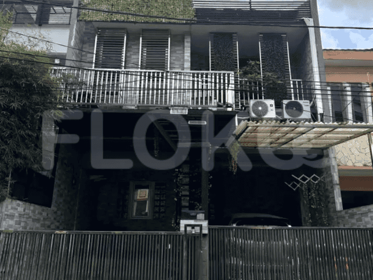


Nearby Facilities and Services - Palmerah
Westmark ApartmentTaman Anggrek ResidencePermata Senayan ApartmentCentral Park ResidenceRoyal Mediterania Garden ResidencePermata Hijau Suites Apartment
Bundaran HI MRT StationDukuh Atas MRT StationSetiabudi Astra Station MRT StationIstora Mandiri MRT StationBendungan Hilir MRT StationSenayan Station MRT Station
MTs Al-Hidayah PalmerahTK Negeri 10 PalmerahMA Al-Hidayah PalmerahMI Al-Hidayah PalmerahSMAN 16 JakartaState Elementary School Slipi 04 Morning
Binus University AreaBinus University Syahdan CampusJakarta International CollegeBinus University Anggrek CampusBINUS University, Anggrek CampusPodomoro University
Dharmais Cancer HospitalBhakti Mulia HospitalHarapan Kita National Heart CenterHarapan Kita Mother and Child HospitalTanah Abang Regional General HospitalUkrida Hospital
Embassy of JapanSolomon Islands Consulate General in JakartaEmbassy of the Democratic Republic of Timor LesteEmbassy of the Federal Republic of GermanyEmbassy of New ZealandEmbassy of Mozambique
Taman Kota Bambu Selatan ParkTaman PejomponganTaman CattleyaTaman Anggrek (Orchid Park)Puri Indah Central ParkKebon Jeruk Park
Binus University Bus Stop TransJakarta StationSlipi Junction Bus Stop TransJakarta StationSlipi Kemanggisan Bus Stop TransJakarta StationSDN 03 Pagi TransJakarta StationJDC (Jalur Depan Ciledug) Bus Stop TransJakarta StationTomang Toll Gate Bus Stop TransJakarta Station
Toll Gate SlipiSlipi Toll GateSlipi 2 Toll GateSlipi 1 Toll GateTomang Toll GatePejompongan Toll Gate
Kemanggisan Sports CenterTaman Anggrek Sports ArenaGBK Basketball HallGelora Sports Complex AreaGelora Bung Karno Aquatic CenterGBK Aquatic Center
Jakarta Convention CenterJCC SenayanKartini Exhibition HallBalai KartiniJakarta International ExpoJIExpo Kemayoran
Super Indo PalmerahHypermartTransmart Taman AnggrekSuper IndoSuper Indo Tomang RayaSuper Indo Tomang Raya
Kemanggisan MarketSlipi MarketPalmerah Traditional MarketPasar Palmerah AreaPejompongan MarketTanah Abang Market
See Similar Subdistricts
Sitemap
Index of Apartments for Rent in ProvinceIndex of Apartments for Rent in CityIndex of Apartments for Rent in DistrictIndex of Apartments for Rent in LocalityIndex of Apartments for Rent in AreaIndex of Apartments for RentIndex of Apartments for Rent Near AttractionsIndex of Apartments for Rent by Type Filter
Index of Apartments for Sale in ProvinceIndex of Apartments for Sale in CityIndex of Apartments for Sale in DistrictIndex of Apartments for Sale in LocalityIndex of Apartments for Sale in AreaIndex of Apartments for SaleIndex of Apartments for Sale Near AttractionsIndex of Apartments for Sale by Type Filter
Index of Office BuildingIndex of ProvinceIndex of CityIndex of DistrictIndex of SubdistrictIndex of MallIndex of Mrt StationIndex of SchoolIndex of Train StationIndex of AirportIndex of Embassy And Government OfficeIndex of UniversityIndex of Residential BuildingIndex of HospitalIndex of ParkIndex of Bus StopIndex of Toll GateIndex of Sports Complex StadiumIndex of Convention Exhibition CenterIndex of Supermarket HypermarketIndex of Traditional MarketIndex of Fnb Cluster Lifestyle StreetIndex of Place Of WorshipIndex of Civic Landmark Cultural Icon