Slipi Subdistrict, West Jakarta
Slipi is an urban subdistrict located within the Palmerah district of West Jakarta, part of the larger Jabodetabek metropolitan area in Indonesia. It functions as a significant residential and commercial hub, characterized by its strategic location and urban infrastructure. Slipi is an integral part of West Jakarta's urban fabric, contributing to the region's population and economic activity.
Key Highlights
- Slipi is an urban village and part of Palmerah, West Jakarta.
- As of 2010, Slipi had a population of 17,850.
- The area of Slipi is approximately 0.9792 km².
- In 2016, the population was 19,217, with a sex ratio of 106.10 and 4,695 households.
- Slipi is bounded by Brigjen Katamso Street to the north, S. Parman Street to the west, KS. Tubun Raya Street to the east, and Bundaran Slipi to the south.
- The subdistrict is in close proximity to several shopping malls, including Taman Anggrek Mall, Plaza Slipi Jaya, Central Park Mall, Neo Soho, and Ciputra Mall.
- Slipi is home to educational institutions and is close to several universities such as Bina Nusantara University, Tarumanagara University, and Trisakti University.
- Hospitals such as Pelni Hospital and Bhakti Mulia Hospital are located in Slipi.
Location & Connectivity
Slipi's strategic location in West Jakarta provides access to various parts of the city. Major roads bordering or passing through Slipi include Brigjen Katamso Street, S. Parman Street, and KS. Tubun Raya Street. The area is well-served by public transportation. TransJakarta operates bus services with stops in and around Slipi, including routes connecting to key areas like Kemanggisan and Senayan. Train access is available via Palmerah Station and Tanah Abang Station, with the Commuter Line providing connections to other parts of Jakarta. The subdistrict is also part of routes for shuttle services connecting to other cities within Jabodetabek. The presence of major roads and public transit options enhances connectivity and ease of movement within and from Slipi.
Relevance
Slipi plays a role in Jakarta's urban landscape as a densely populated subdistrict with a mix of residential and commercial functions. Its strategic location and connectivity to major roads and public transport networks contribute to its significance as a residential area and a hub for local commerce. The presence of educational institutions and healthcare facilities further supports its function as a self-contained urban environment within West Jakarta. Real estate trends in Jakarta, including West Jakarta, indicate a demand for ready-to-occupy condominium units and a stable increase in property prices, suggesting Slipi's continued relevance in the housing market.
Nearby
Nearby notable locations include several shopping malls such as Taman Anggrek Mall, Central Park Mall, Neo Soho, Ciputra Mall, and Plaza Slipi Jaya. Major roads like Jalan Letjen S. Parman and Jalan KS Tubun Raya are key arteries in the vicinity. Surrounding districts and areas accessible from Slipi include Palmerah, Grogol, and Kemanggisan. Cattleya Park, also known as Tomang Park, is a public green space located within the Palmerah sub-district, near Slipi. Grand Slipi Tower is a prominent office building in the area.
Data Table
| Category | Data |
|---|---|
| Total Area | 0.9792 km² |
| Population (2010) | 17,850 |
| Population (2016) | 19,217 |
| Households (2016) | 4,695 |
| Sex Ratio (2016) | 106.10 |
| Postcode | 11410 |
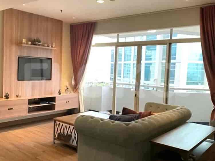
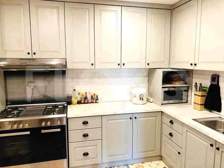
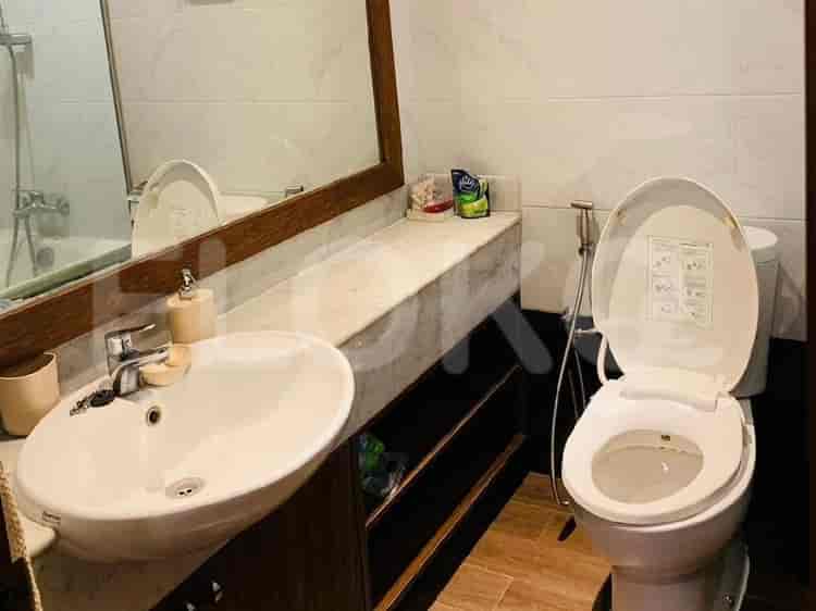
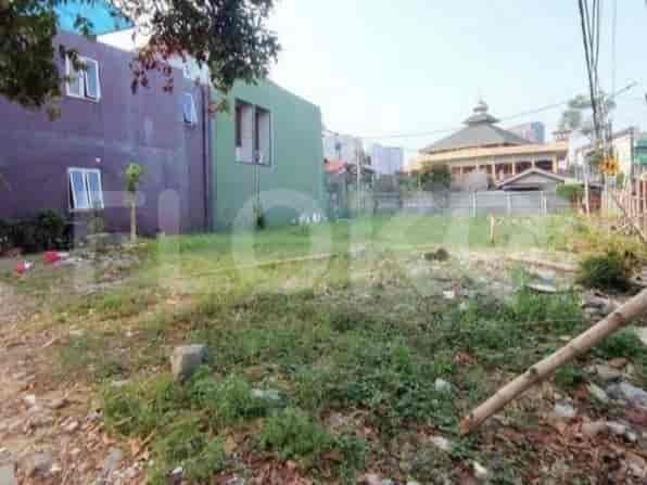
Available units in Slipi






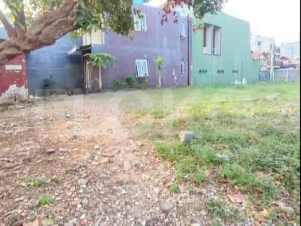


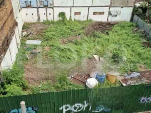


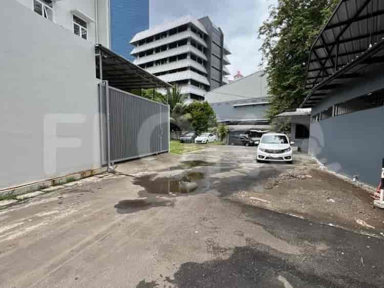

Nearby Facilities and Services - Slipi
Cosmo Terrace Thamrin Executive ResidenceThamrin Residence ApartmentWestmark ApartmentCosmo Mansion Permata Senayan Apartment
Bundaran HI MRT StationDukuh Atas MRT StationSetiabudi Astra Station MRT StationBendungan Hilir MRT StationIstora Mandiri MRT StationSenayan Station MRT Station
State Elementary School Slipi 04 MorningAisyiyah Bustanul Athfal 40 Kindergarten PetamburanPertiwi 01 Kindergarten PetamburanNurul Huda Islamic Senior High School PetamburanNurul Huda Islamic Junior High School PetamburanSDN Petamburan 02 Pagi
Binus University AreaJakarta International CollegeBinus University Syahdan CampusPodomoro UniversityLSPR (The London School of Public Relations) Cempaka Putih CampusLondon School of Public Relations
Tanah Abang Train StationPalmerah StationKaret StationSudirman StationGondangdia StationGambir Train Station
Bhakti Mulia HospitalDharmais Cancer HospitalHarapan Kita National Heart CenterHarapan Kita Mother and Child HospitalTanah Abang Regional General HospitalDr. Mintohardjo Naval Hospital
Embassy of JapanSolomon Islands Consulate General in JakartaEmbassy of the Democratic Republic of Timor LesteEmbassy of the Federal Republic of GermanyEmbassy of FranceEmbassy of Belgium
Taman Kota Bambu Selatan ParkTaman PejomponganTaman CattleyaTaman Anggrek (Orchid Park)Puri Indah Central ParkTomang Park
Slipi Junction Bus Stop TransJakarta StationRachmat Hidayat Street Bus Stop TransJakarta StationSlipi Kemanggisan Bus Stop TransJakarta StationJDC (Jalur Depan Ciledug) Bus Stop TransJakarta StationTanah Abang Bus StopBinus University Bus Stop TransJakarta Station
Toll Gate SlipiSlipi 2 Toll GateSlipi 1 Toll GateSlipi Toll GatePejompongan Toll GateTomang Toll Gate
Kemanggisan Sports CenterTaman Anggrek Sports ArenaGBK Basketball HallGelora Sports Complex AreaSarinah Sports ArenaGelora Bung Karno Aquatic Center
JCC SenayanJakarta Convention CenterKartini Exhibition HallBalai KartiniJakarta International ExpoJIExpo Kemayoran
Slipi MarketTanah Abang MarketPalmerah Traditional MarketKemanggisan MarketPejompongan MarketKampung Bali Market
See Similar Subdistricts
Sitemap
Index of Apartments for Rent in ProvinceIndex of Apartments for Rent in CityIndex of Apartments for Rent in DistrictIndex of Apartments for Rent in LocalityIndex of Apartments for Rent in AreaIndex of Apartments for RentIndex of Apartments for Rent Near AttractionsIndex of Apartments for Rent by Type Filter
Index of Apartments for Sale in ProvinceIndex of Apartments for Sale in CityIndex of Apartments for Sale in DistrictIndex of Apartments for Sale in LocalityIndex of Apartments for Sale in AreaIndex of Apartments for SaleIndex of Apartments for Sale Near AttractionsIndex of Apartments for Sale by Type Filter
Index of Office BuildingIndex of ProvinceIndex of CityIndex of DistrictIndex of SubdistrictIndex of MallIndex of Mrt StationIndex of SchoolIndex of Train StationIndex of AirportIndex of Embassy And Government OfficeIndex of UniversityIndex of Residential BuildingIndex of HospitalIndex of ParkIndex of Bus StopIndex of Toll GateIndex of Sports Complex StadiumIndex of Convention Exhibition CenterIndex of Supermarket HypermarketIndex of Traditional MarketIndex of Fnb Cluster Lifestyle StreetIndex of Place Of WorshipIndex of Civic Landmark Cultural Icon